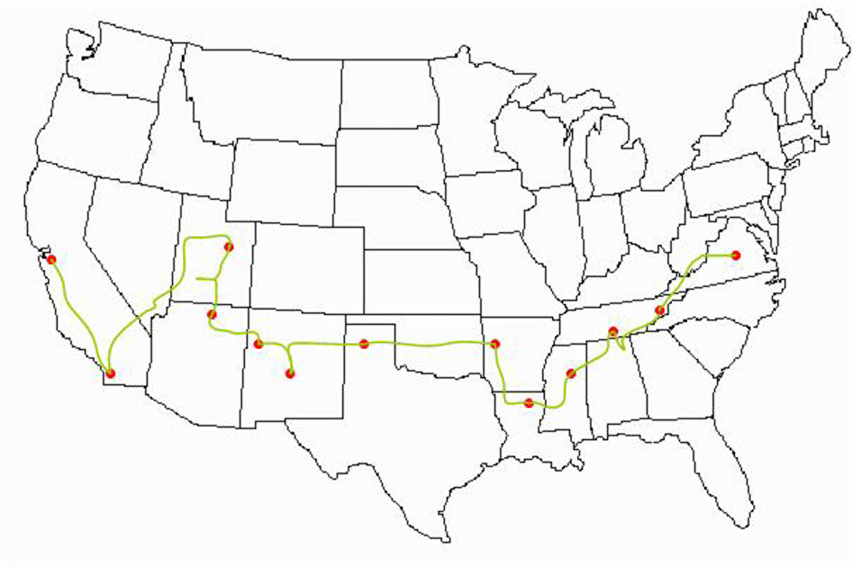
Relocation: Charlottesville, Virginia to San Francisco, California - March 3, 1999
Days 1 and 2: March 3 and 4, Charlottesville, Virginia to Great Smoky Mountains National Park and Townsend, Tennessee
I started today with a great breakfast at the local Aunt Sarah's and headed over the Blue Ridge to I-81. The morning started crisp and cool, but as I got further south it started to cloud over. I arrived in the Greenbriar portion of the park at 2pm. (35°42″1′ W 083°21″53′ N @ 1928′) After spending a couple of hours looking around, I then headed for Cades Cove. (35°36″2′ W 083°50″22′ N @ 1935′)
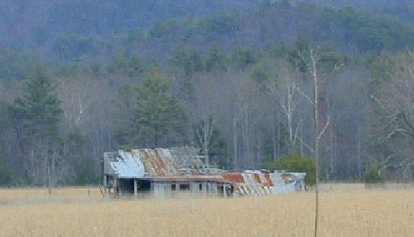
Around Cades Cove is a one-way auto-trail that takes you around the few cabins and fields that are still preserved in the valley. Early mornings and late evenings you can see deer coming into the fields. You would think that people had never seen an animal before, the way they will stop and stare -- of course right in the middle of the road -- at these deer just peacefully eating.
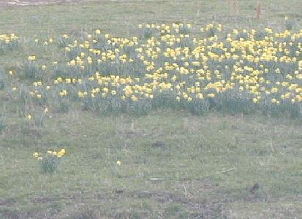
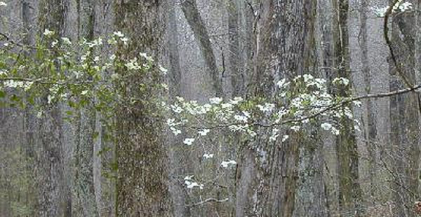
I was here in April a couple of years ago and we had a great wildflower show. At that time the dogwoods and redbuds were almost finished, so I was hoping to at least find them in bloom, but they weren't. The only things in bloom were the daffodils that marked wherever a home used to stand.
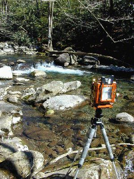
I didn't find much to photograph. I was planning on getting up early for the sunrise and heading to the top of Clingman Dome, but I didn't. Later in the day I went up only to find that the road was closed until the end of March – at least I didn't waste the trip up the mountain. I also found that the auto-trail by the Ogle's cabin was closed.
Day 3: March 6, Jasper, Tennessee
I left Townsend, TN (just outside the Great Smoky Mountains National Park) and headed further south to visit the Civil War battle sites of Chickamauga (34°56″0′ W 085°20″39′ N @ 528′) and Lookout Mountain (35°00″36′ W 085°20″39′ @ 2592′). These two parks are just outside of Chattanooga, with Chickamauga being just to the south in Georgia.
Chickamauga National Military Park, Georgia
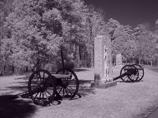
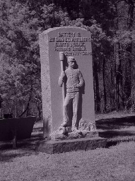
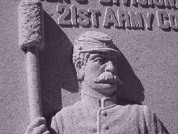
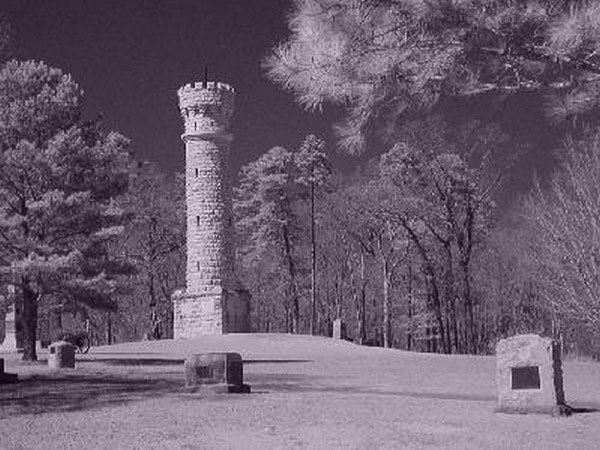
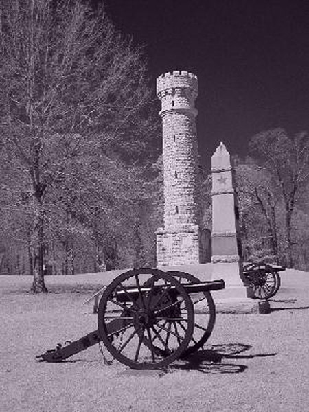
Chickamauga was the first battlefield national park. There are monuments and cannons all over this small park commemorating the Confederate victory. Here are some of the various monuments around this park.
Lookout Mountain Battlefield Park, Tennessee
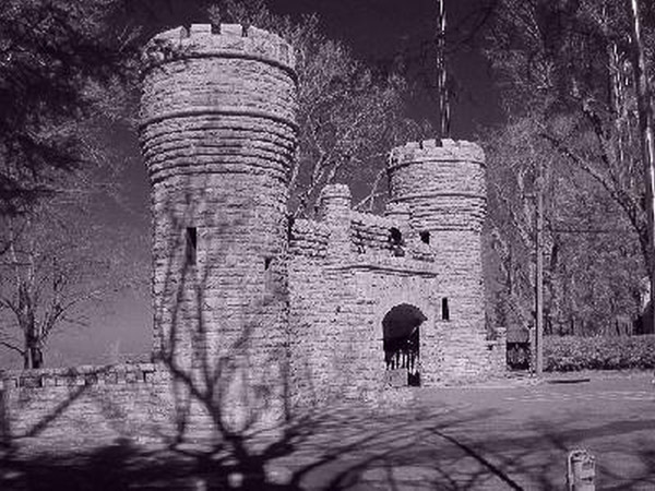
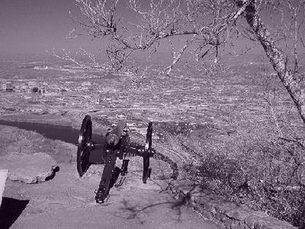
These are a couple of views from Lookout Mountain. This is a very interesting location. Lookout Mountain is more of a ridgeline that is probably a half mile wide and several miles long. There is a combination of national park, homes and mansions, incline railroad and tourist traps. Even with a car and the roads this is a very difficult area to get to and find your way around, but once you are here the views are spectacular! Here is the entrance to the park.
Day 4: March 7, Tupelo, Mississippi
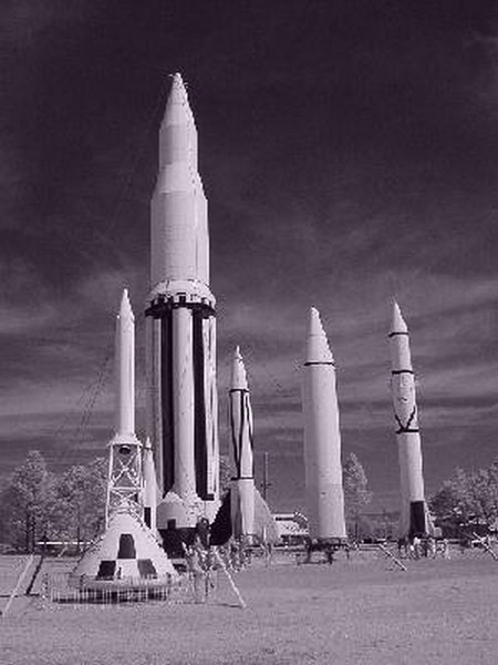
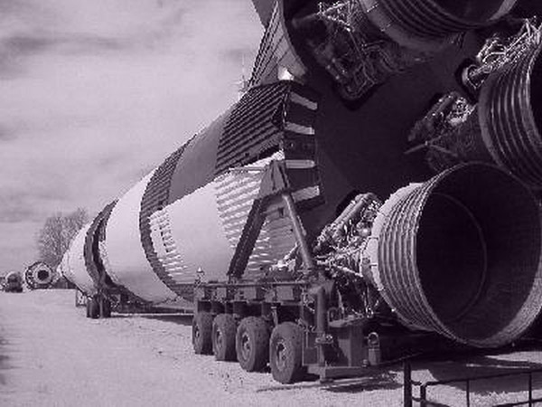
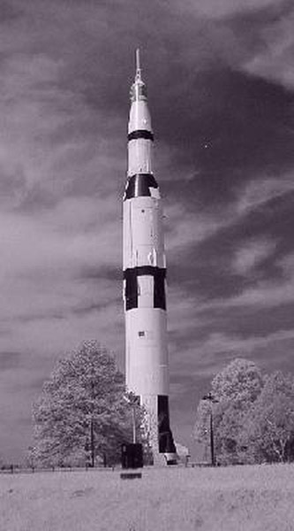
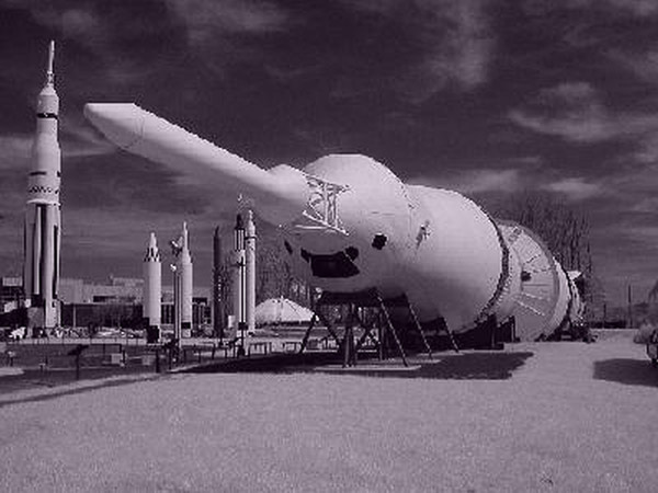
U.S. Space and Rocket Center, Huntsville, Alabama
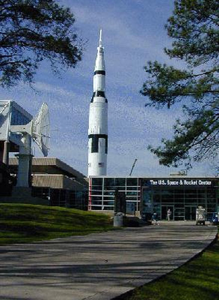
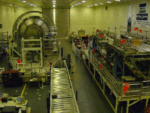
Another clear morning! Today it is a short drive to Huntsville, AL (34°42'44 N 086°39'07 W @ 855′) for a visit to the US Space and Rocket Museum and the Marshall Space Center. I arrived in time for the first bus tour at 9:45. At the center we saw the Redstone test site, now a National Landmark in the middle of the Army's Redstone Arsenal and the Marshall Space Center. We also visited the manufacturing facility where parts of the Space Station were being built. The Habitat and Node 2 sections were completed and under wraps, and the air lock and a portion of the boom that would support the solar panels was in progress.
Marshall Space Flight Center
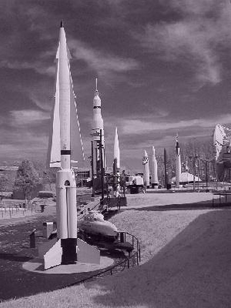
Missile Park at Marshall Center has an Apollo Command capsule and one of the V-2 rockets they were testing right after World War II, along with some of the missiles that were later developed by the Army at Redstone.
Natchez Trace Parkway
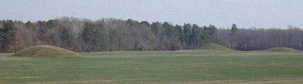
From Huntsville, I headed west to the Natchez Trace Parkway. I joined the Parkway at Cherokee in Alabama and headed south. The Pharr Mounds (34 28'17 N 088 25'12 W @ 373′) site complex consists of eight burial mounds built during the Middle Woodland period, between 1 and 200 A.D. Ranging in height from two to 18 feet, the mounds are distributed over an area of about 85 acres. They comprise one of the largest Middle Woodland ceremonial sites in the southeastern United States.
The Trace as it was named by the French was a road from Natchez on the Mississippi river up to Nashville. This was the primary trading route up until 1838 when steamboats finally took over. The road now parallels the original and in some parts you can actually find the original road.
Tupelo, Mississippi
I pulled off the Trace at Tupelo to spend the night. This is Elvis's birthplace, and it's the town's main attraction. His home, school, and the store where he bought his first guitar are all available to tour. Tomorrow I'll continue down another 175 miles of the Trace.
Day 5: March 8, Monroe, Louisiana
Today started out a little hazy and as it progressed rain clouds came up. It stayed warm but only got up to the 70s today.
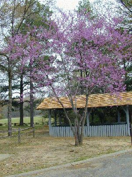
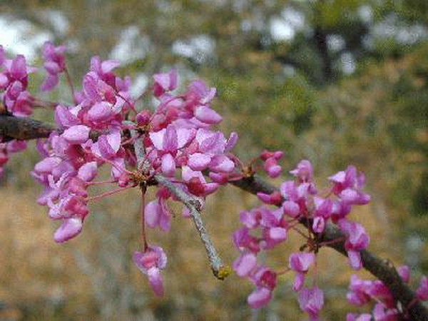
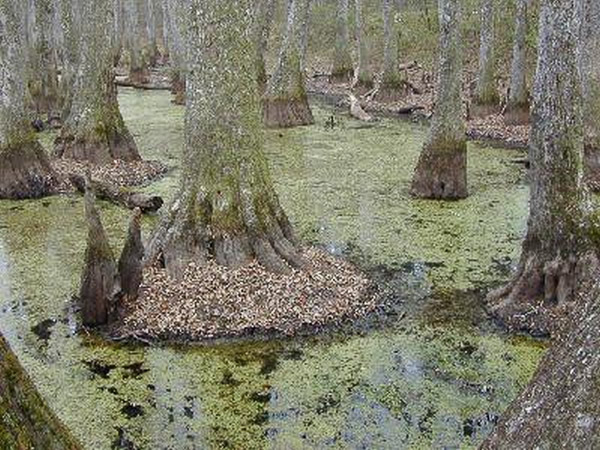
I continued down the Trace today. I stopped at a place where there was a nature walk around a swamp with Tupelo and Bald Cypress trees. The Redbuds had been just starting to bloom in other areas, but here I did find trees in full bloom.
Vicksburg National Military Park, Mississippi
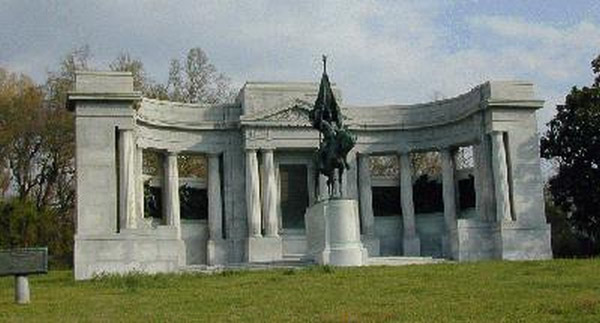
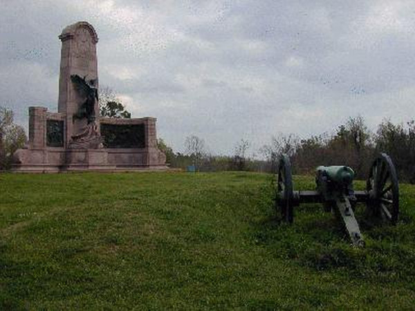
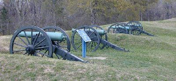
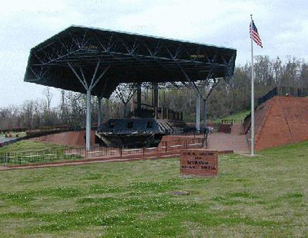
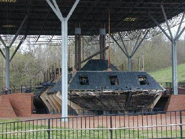
After leaving the Trace, I headed west to Vicksburg and the battle site there. I had thought that Chickamauga had the most monuments and cannons until I arrived here. The main feature that interested me is the USS Cairo and its museum. This is the only Civil War ironclad that survives, and it was the first ship ever sunk by an electrically triggered mine.
The ship was found near here in the Mississippi River where it originally sank. In 1960, it was found and salvage operations began. The ship was preserved by the silt that filled and encased it. This actually preserved a good portion of the ship and many of the goods that it carried.
The museum houses the goods found, and outdoors the ship has been rebuilt and shored up for display. They have not completely rebuilt the ship. They have taken the original timbers where available and then held them in place with new timbers or external supports. What you have is the shell of the original ship and then other timbers and structures that show the outline of where the missing parts would be. They have also built a wonderful display that allows you to see the ship from all sides and the interior.
One big difference (other than the size) between this park and Chickamauga is that this one commemorates the generals and officers who were involved. There are many statues, busts, and plaques with images of them. Chickamauga seems more focused on honoring the common soldier, whereas Vicksburg leans toward the commanders.
Day 6: March 9, Hot Springs, Arkansas
This morning was partly cloudy but by the time I got to Crater of Diamonds State Park in Arkansas, it was in the 80s again. While driving I spotted an armadillo alongside the road in Louisiana, this adds to the turkeys, hawk and King Fisher that I have seen so far.
This trip is turning into a tour of sites connected to the current president and vice president. Driving through Tennessee, I came down the Al Gore Sr. Highway, and today I went through Hope and Hot Springs, Arkansas -- all places that claim Clinton as their famous citizen. It's almost as bad as the "George Washington slept here" jokes!
Crater of Diamonds State Park, Murfreesboro, Arkansas
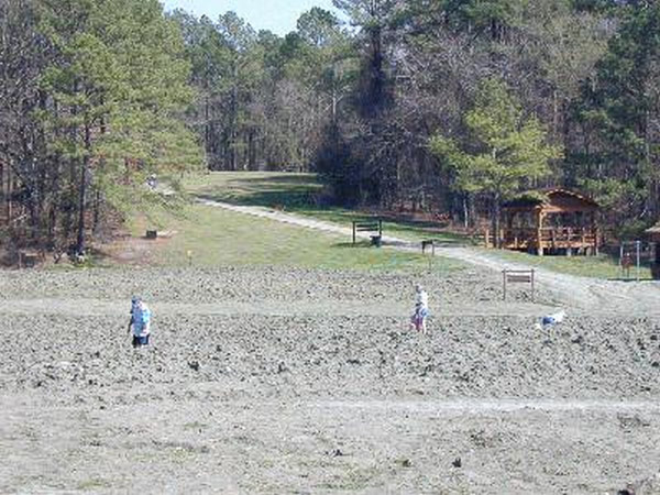
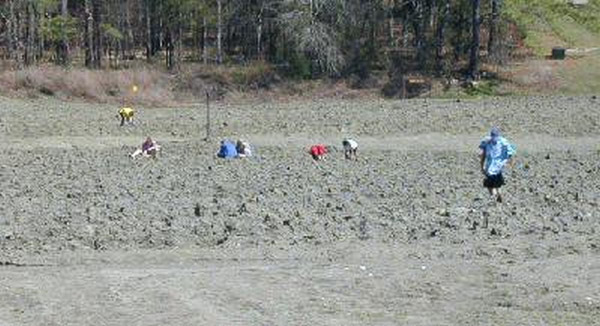
Crater of Diamonds is a park built around prospecting in the park's diamond search area -- a 37.5-acre plowed field that is the eroded surface of an ancient volcanic pipe that, 95 million years ago, brought to the surface the diamonds and semi-precious stones that lucky visitors still find today. The last large diamond was pulled out in 1984. As you can see in these pictures, this is just a large open field that they plow up and then charge you to go dig in! Anyway, I spent a couple of hours digging through dirt, only to find nothing.
Hot Springs, Arkansas
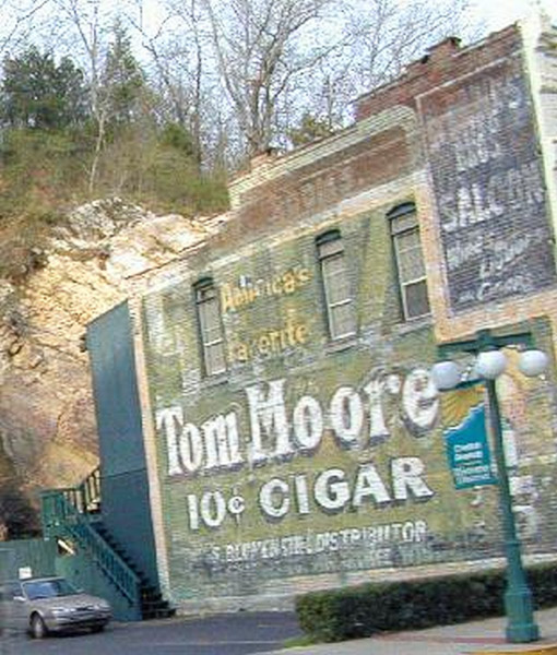
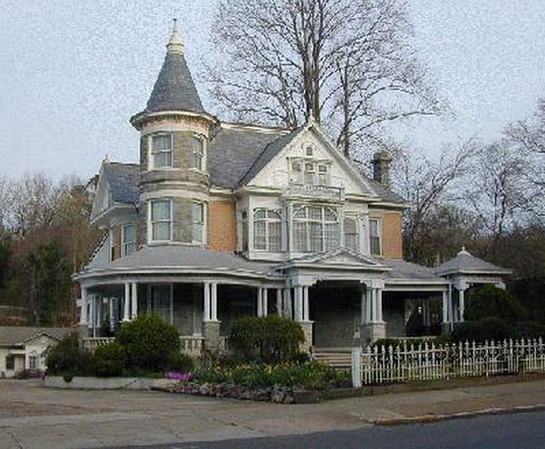
From here I headed into Hot Springs, AR which is almost a National Park warped into a city. The park preserves some of the old bathhouses as well as the mountains and some of the actual streams. The downtown area contains the bathhouses and one of them has been restored and is being used as the park head quarters. This downtown area still contains many of the older buildings, they haven't replaced very much of the town.
Day 7, 8, and 9: March 10 to 12, McLean, Texas, Socorro, New Mexico, and Gallup, New Mexico
I've been off the air for a couple of days now. Primarily I have been driving all day with little sightseeing so I can get to the Red Rock country and spend sometime shooting lots of photos!
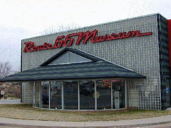
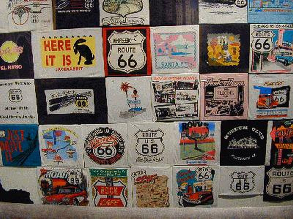
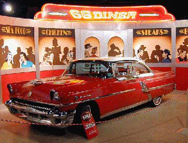
I drove all this day along I-40. I thought that once I hit Oklahoma City I would start to see signs for where to pick up Route 66, but Oklahoma doesn't mark the road from I-40. I did see signs for two different Route 66 museums. I stopped at the Clinton museum pictured below and the "National Route 66 Museum" is listed in Elk City -- just 20 miles away!
Route 66 Museum, Clinton, Oklahoma
The Clinton museum has the real history of the road and exhibits that relate to it. The following photos are from Elk City, and as you see only loosely apply to the road.
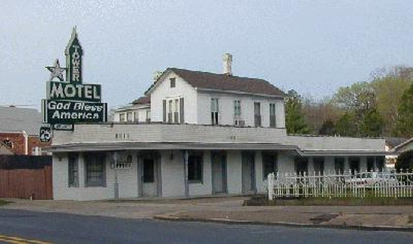
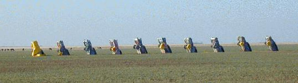
I left Oklahoma behind and started across the Texas pan handle. I was planning on getting off at Shamrock, but I missed the exit. It was another 20 miles before I could get to a place where I could turn around, so I went on. I ended up staying in a very small town called Groom. It had one hotel, 2 gas stations and one restaurant.
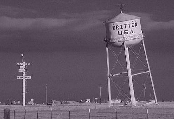
I got up to a cold morning (frost on the windshield again). Groom has one Rt 66 feature and a new attraction as well. The Rt 66 era feature is this leaning water tower.
Albuquerque, New Mexico
Just outside of Albuquerque, New Mexico I had a "Check Engine" light appear on the dashboard. The owner's manual says to get this checked when convenient, but that wasn't going to happen for another 2,000 miles. I was afraid I was going to be stuck in Albuquerque until Monday, but I managed to find a garage that had a computer to test the problem. Turns out that the fuel filter was clogged! Well all of that cost $90 to test and fix, but it was the 3 hrs waiting that really hurt. All in all though, this was better than having to wait until Monday to get it checked.
Socorro, New Mexico
After the garage, I headed south to Socorro and the Bosque del Apache wildlife refuge. I took a quick drive around the site before settling in for the night.
I spent 3 hrs the following morning photographing birds and some deer at the Bosque. You'll have to come back after I update this report with the photographs shot with the good camera. I was able to photograph sandhill cranes, peregrine falcons, ring-necked pheasants, and meadowlarks, as well as a small herd of deer eating alongside the road.
After leaving the Bosque I headed back north to I-40 and then west to Gallup. I'll be heading north from here up to the Red Rock country.
Day 10: March 13, Kayenta, Arizona
Blue skies and warm once again today.
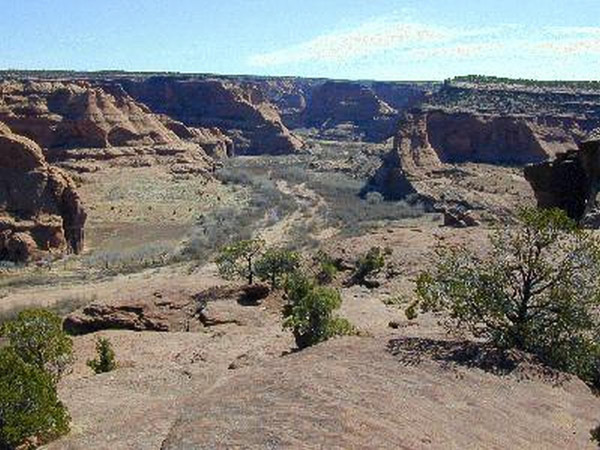
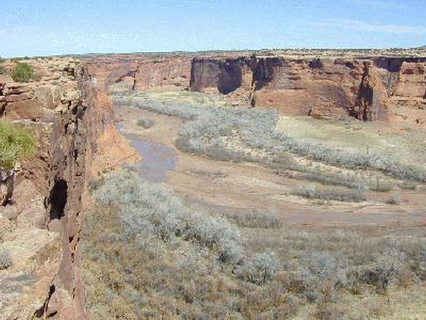
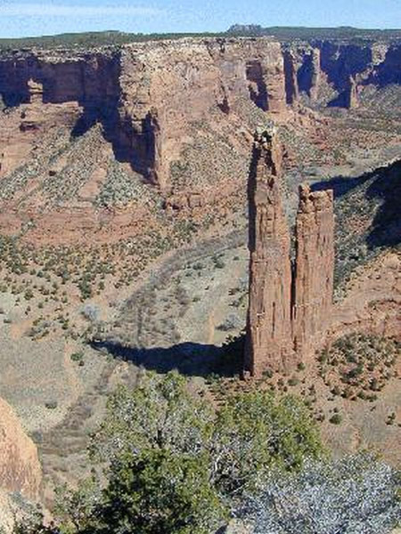
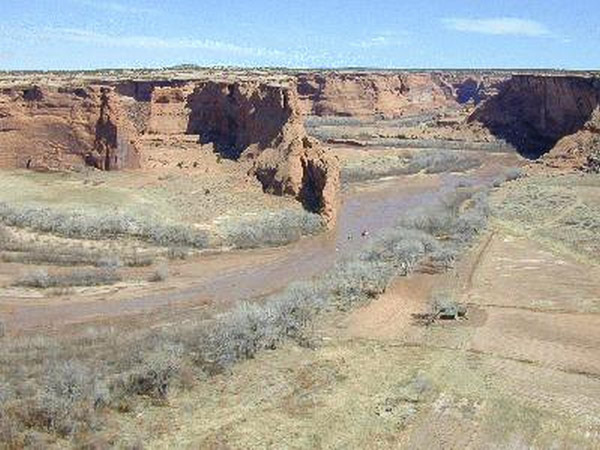
I'm headed north to Canyon de Chelly. This is a valley that has been inhabited by the Navajo for ages. They still live in this park and farm the valley floor. The park is near Chinle, AZ and has two rim drives and you can also enter the valley if you take a Navajo guide and have a 4×4.
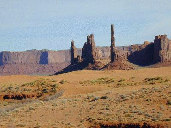
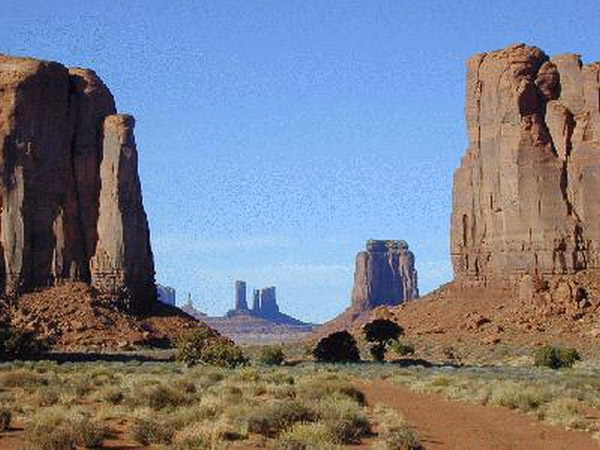
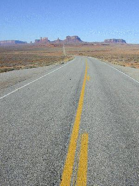
From the canyon I then went to Monument Valley. This is the home of all those John Ford/John Wayne movies. There is a 17 mile dirt road that you can drive around this park. If you take a guide with you, you can get closer to the formations and visit other locations.
The monuments are actually mesas that have finally worn away to form buttes and spires. These formations are then given names like the above is the totem poles.
Day 11: March 14, Moab, Utah
Blue skies once again!
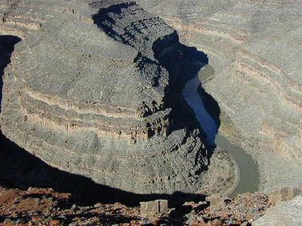
I left Kayenta and passed back by Monument Valley. Just north of Mexican Hat is the Goosenecks of the San Juan. This is a river that feeds into Lake Powell. This photo shows only one of the meanders, it actually loops back around 4 necks like this. There isn't much else to see here other than this rather unique geological feature. I came back to this site twice because before 10 am there isn't enough light down at the river. The second time back there were a group of rafters floating around a neck.
A little farther down the road is a Utah state park called Valley of the Gods. This park is really a 17 mile dirt road with formations similar to Monument Valley.
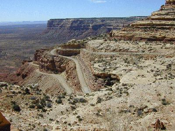
After leaving the Valley of the Gods I continued north to Natural Bridges. The most direct route is highway 261. The only problem is that it has to climb the face of a mesa to get there. It is a 3 mile drive straight up a 10% grade on dirt roads with switch backs as you can see here.
Natural Bridges, Utah
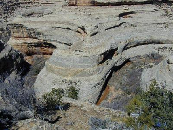
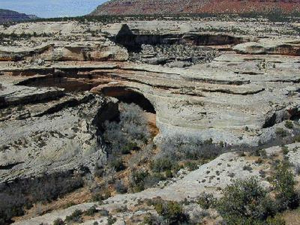
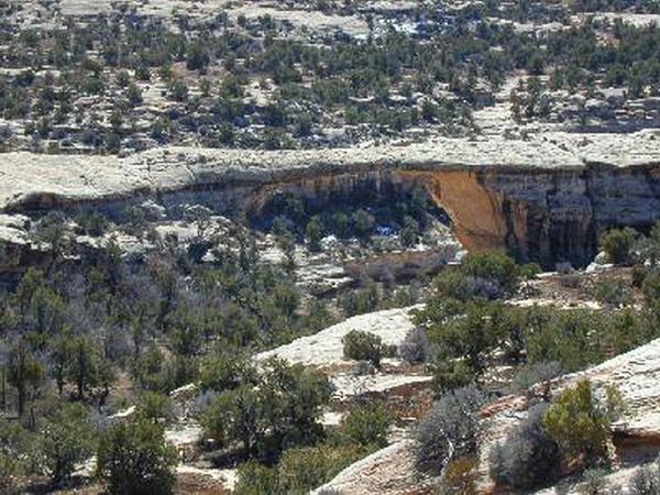
Natural Bridges contains 3 of these natural bridges that are visible from the roadside. They are formed by a meandering river like the Goosenecks that decides to change course and starts to cut into one of the necks. As this is eroded away it slowly becomes a bridge. There is a 9 mile loop drive that takes you around to the bridges, you can also hike down to each of these bridges if you want to.
Newspaper Rock State Historic Park, Utah
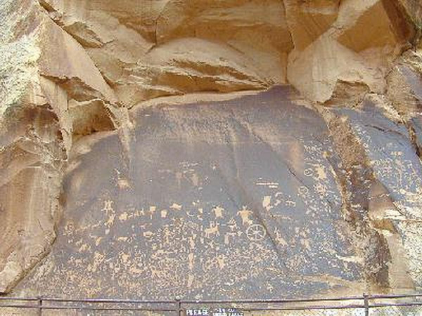
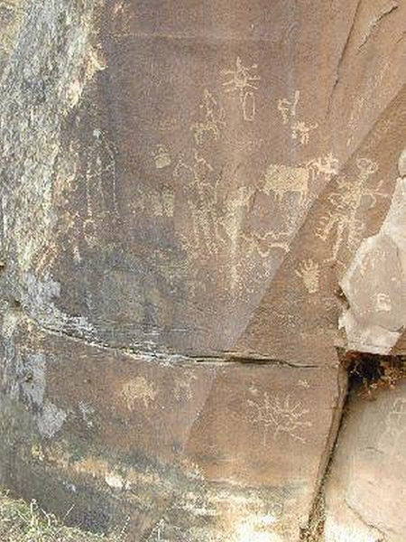
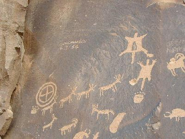
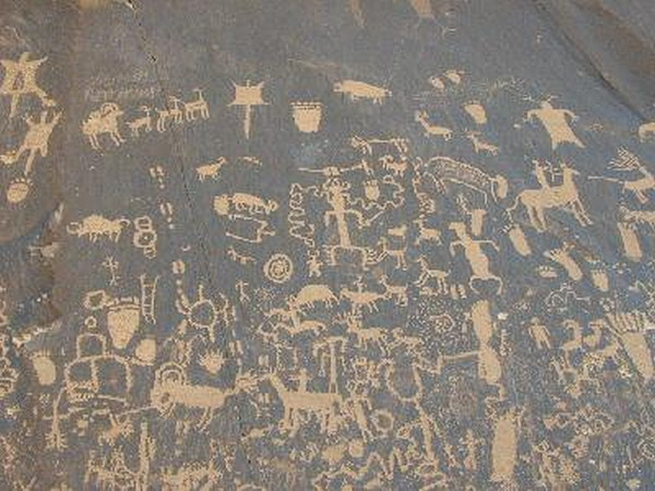
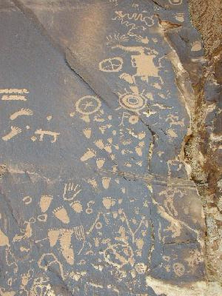
From Natural Bridges I headed north once again to my destination of Moab, but on the way I stopped in at the lower portion of Canyonlands. On the way into the park is a State Park called Newspaper rock. These are petroglyphs that have never been dated or deciphered.
Canyonlands National Park, Utah
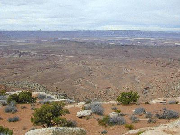
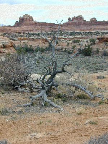
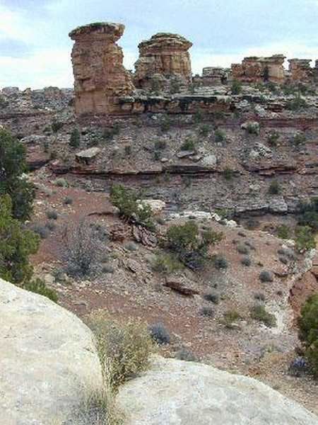
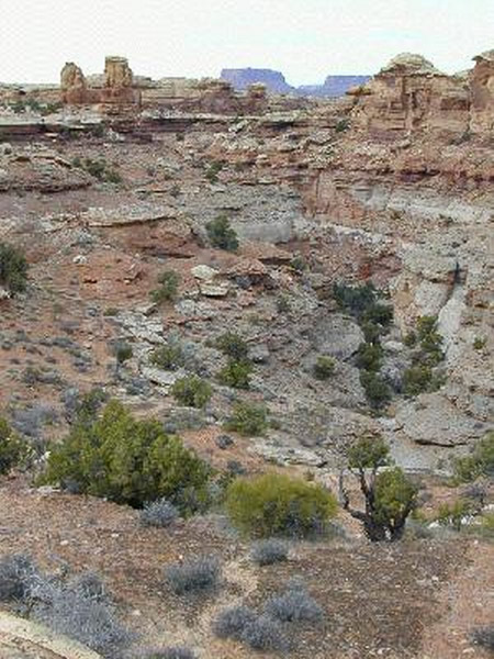
Another 30 miles brings you to the actual park. Canyonlands covers 527 square miles, this portion of the park lets you see the valley floor. If you have a 4×4 there are many Jeep trails to get you back into other portions. This area is surrounded by high walls of the mesas that form its boundaries.
40 miles north of here is Moab and just north of there is another access to this park. This is the Islands of the Sky and takes you around the ridges – I'll be doing that portion in the next day or two.
As you can see it started to get cloudy by the end of the day. I'll have to see if tomorrow brings a storm or not. I've also managed to catch a cold, which is no fun on the road.
Day 12: March 15, Moab, Utah
Well the weather has caught up to me. We had pretty heavy overcast all day.
Arches National Park, Utah
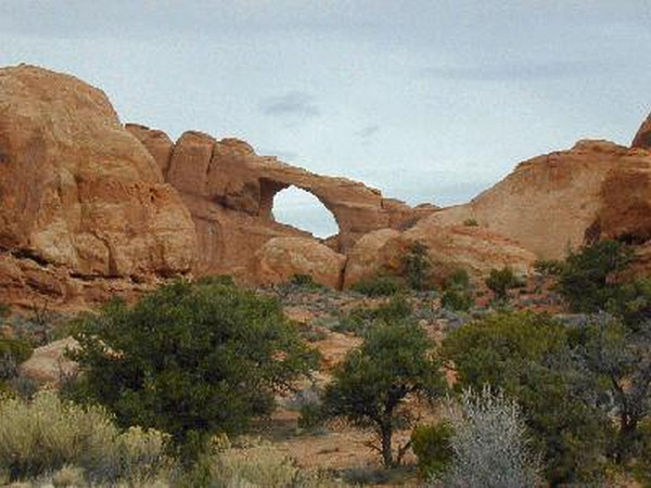
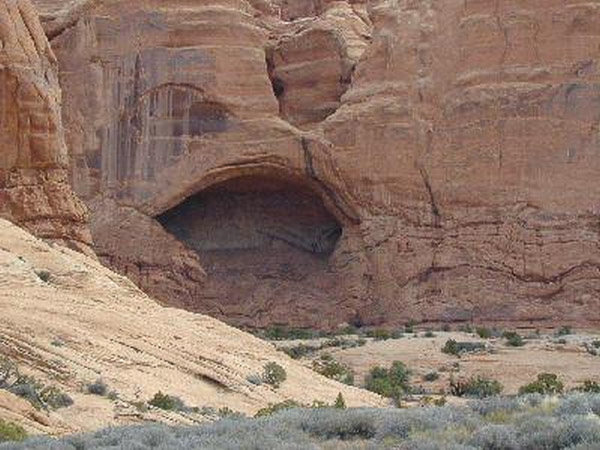
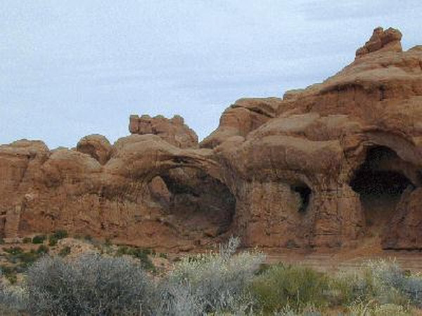
The first stop this morning was Arches. In this shot you can see two windows in the rocks. These will eventually continue to erode and form true arches in another million years or so.
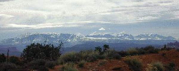
Just to the north of Arches is the entrance to Canyonlands and Dead Horse Point a state park. This is the view from Dead Horse point. Overall this is very much like the Grand Canyon – it was even built by the Colorado River. Further out the road is the Canyonlands Island of the Sky area and this is a view out over the Canyonlands park that I visited yesterday.
Day 13 to 23: March 16 to 26, San Diego to San Francisco, California
With my cold and all I decided to head to San Diego for the rest of my trip. Although today started with beautiful blue skies, Santa Fe and Albuquerque got snow and the prediction for this area was snow and or rain for tomorrow.
On leaving Moab I did spot a Golden Eagle alongside the road, though I didn't get a picture. I left Moab about 9am and arrived in San Diego at 7pm after about 700 miles of driving.
San Diego, California
I'll be staying around here for the next few days doing the tourist and family thing. I probably won't be updating things for a few days so don't worry. I have been able to get the real photos developed from the trip thus far (4 rolls 35mm 36exp, 4 4×5, 18 120 rolls) and they look great for the most part. Once I get settled into a new apartment I will scan these and update the pages here.
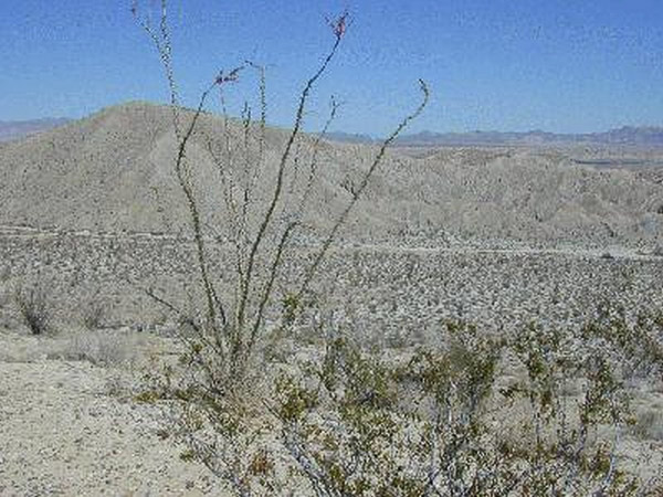
It was a good week to be home, but it didn't turn out to be very productive photographically. I went to the Anza-Borrego Desert hoping to catch the wildflowers in bloom, but they weren't. It was a beautiful day in the desert though.
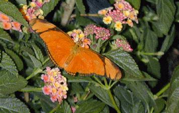
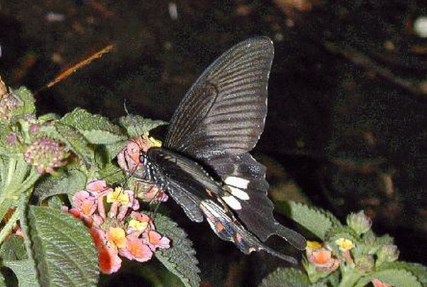
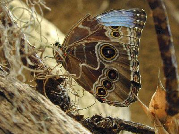
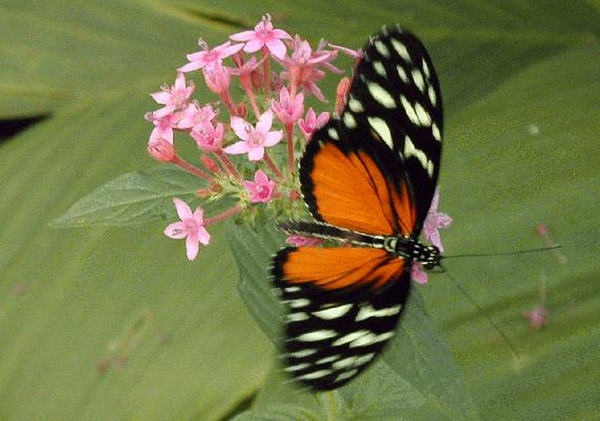
I also went to the San Diego Zoo and the Wild Animal Park. They were great days out, but the animals just weren't cooperating! I did get some good shots of the new pandas and baby, though I still need to scan those in. At the Wild Animal Park, the highlight was definitely the butterfly enclosure.
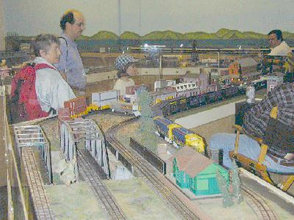
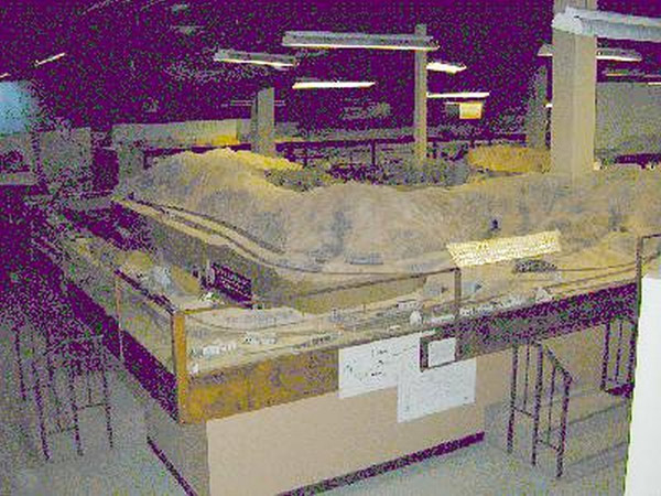
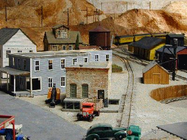
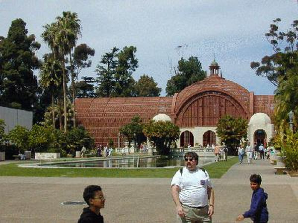
I also went to Balboa Park and visited the Photography Museum and the Model Railroad museum. These first shots are the HO scale layouts. They have been building this replica of the San Diego and Arizona line for quite a few years now.
These are the large Lionel trains that run on the three-rail track -- just like the toy trains you found under the Christmas tree, only these guys have a lot more room to play in!
San Francisco, California
The drive to San Francisco was nice. It was a little warm going through the valley, but it was a beautiful day for the drive.
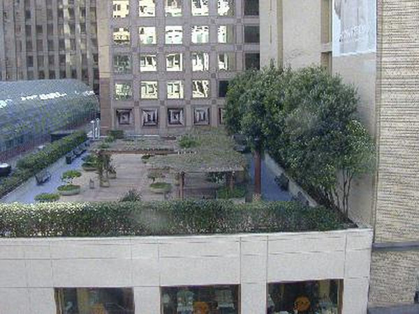
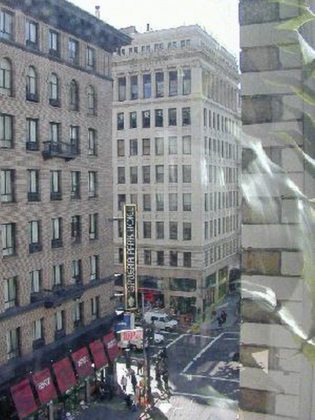
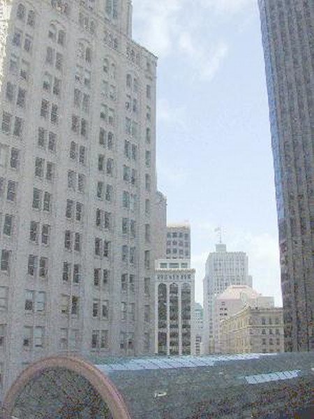
I've been at work for a week now. I'm slowly settling in and I think I may have already found my new place – I'll know by Tuesday. Anyway, here is the view out the window next to my cubicle.