Relocation: Louisville, Kentucky to San Diego, California via Route 66 - April 14, 2010
I've taken a new job back in San Diego and will be relocating there with this trip. This seemed like the perfect occasion to try and cover the entire length of Route 66 and travel as much of the original pavement sections as is possible. I've been researching this trip for some time now, because on various other trips I have done bits and pieces of the route. I've gathered a selection of books and maps over the years and decided to finally put them to some use.
The following tools were used to help me stay on the route and discover some of the special interest items in the towns I would be driving through:
- Route 66 Traveler's Guide and Roadside Companion by Tom Snyder - Good travelogue explaining what can be seen along the way, but no real directions
- A Guidebook to the Mother Road - Bob Moore and Patrick Grauwels - point by point mileage and directions
- Traveling the New Historic Route 66 of Illinois by John Weiss - detailed directions and side trips
- The Complete Guidebook to Route 66 and The Complete Atlas of Route 66 by Bob Moore and Rich Cunningham — this book is unique in that it lists directions for both east-to-west and west-to-east
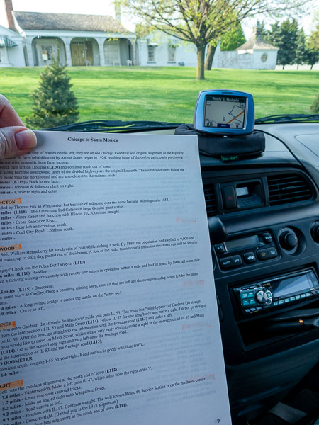
I was really hoping the GPS coordinates would help me on this trip. I chose the coordinates that were used in the production of the The Complete Guidebook to Route 66 and The Complete Atlas of Route 66. I was able to load the waypoints into my GPS, but it only displayed a portion of what was loaded and I would have had to select each waypoint manually. Some of the waypoints were directions to stay on Route 66 and others were sights along the way. Nothing would keep the GPS following Route 66.
I ended up using the book and following the signs that have been posted along the route. This became a little confusing because the route in the book is not necessarily the route that is signed. There were just enough matching signs to give me confidence, only to throw me off shortly after. At one point things went so wrong that I ended up heading back north to St. Louis while still in Missouri. The GPS was very handy in trying to understand some of the directions because it was easy to see the roads that were around or detect the names of streets I was to turn on. Still it didn't keep me 100% on track and there were a number of times I had to double back, re-read the instructions and try again. Typically this was where I was following the historical Route 66 signs instead of tracking with the book. There were a few situations where the book was confusing and a couple of times where road construction or closures had me looking for ways to get back on track.
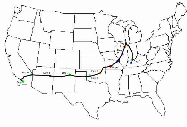
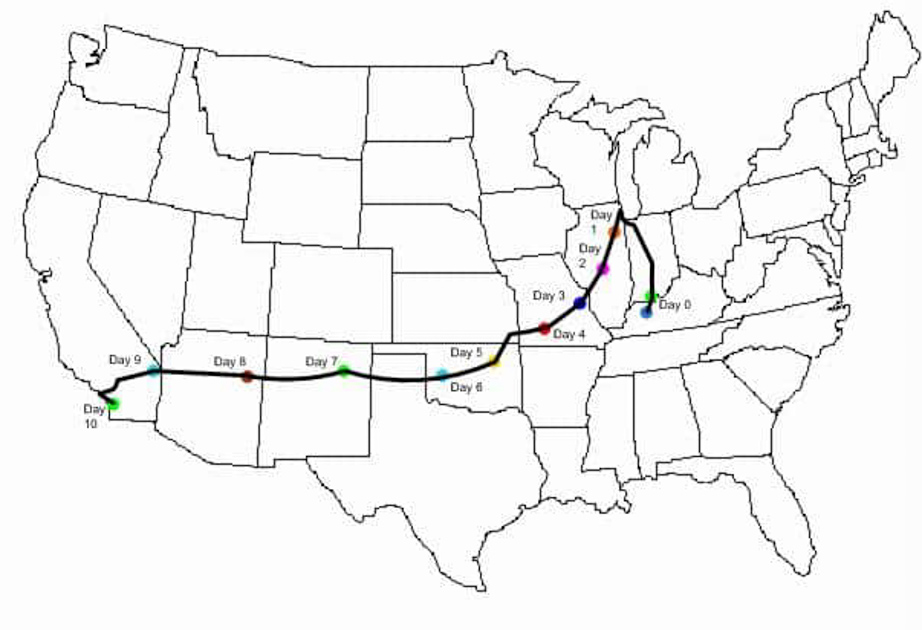
Map showing the route I took to relocate from Louisville, Kentucky to San Diego, California
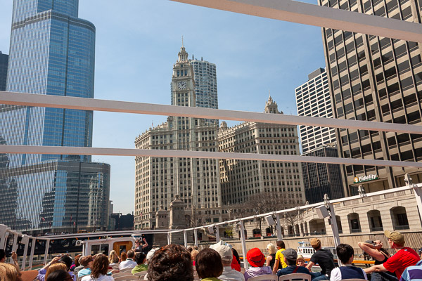
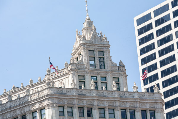
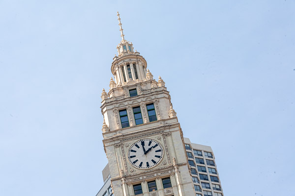
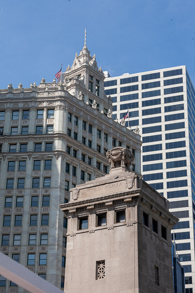
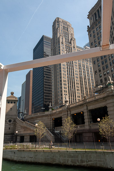
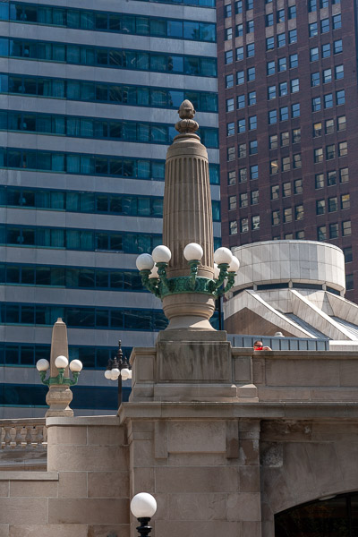
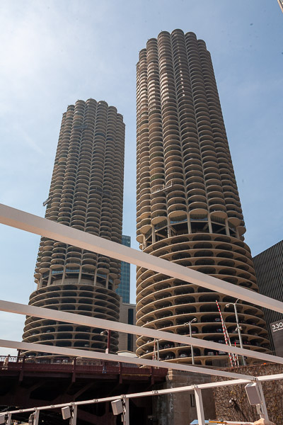
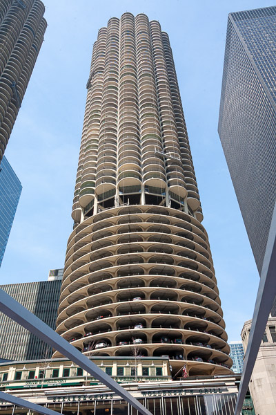
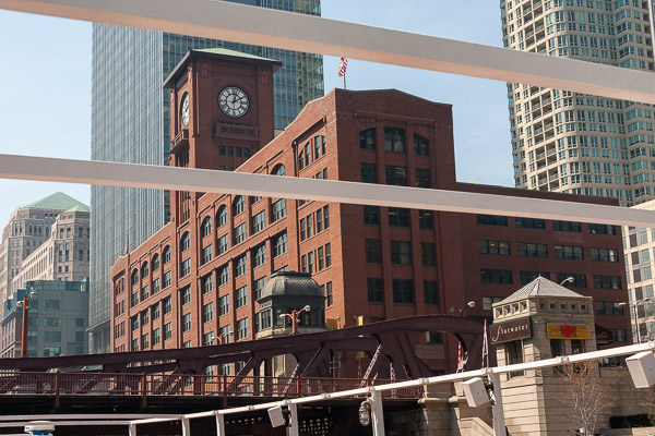
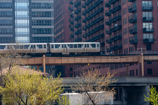
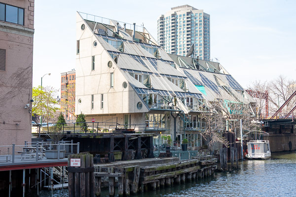
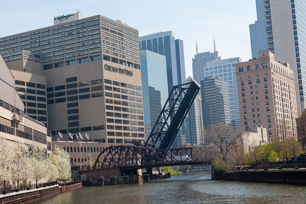
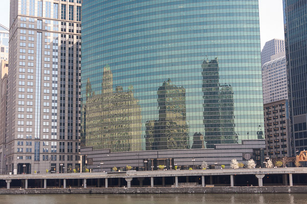
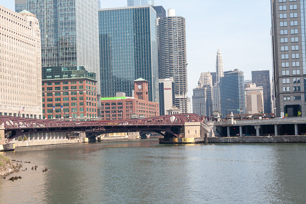
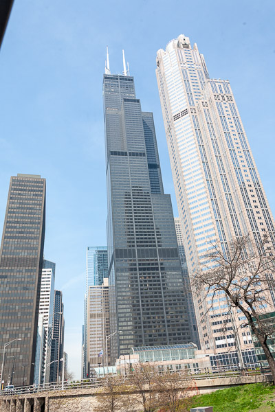
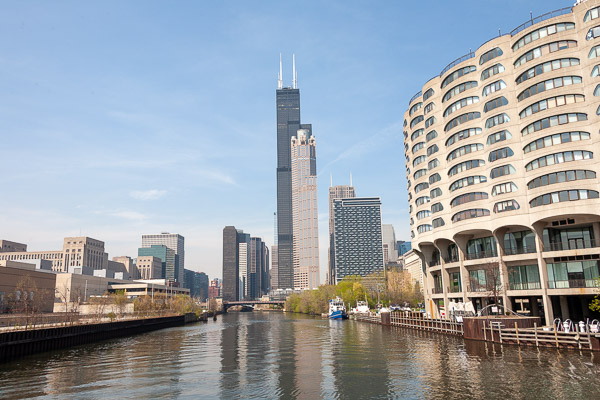
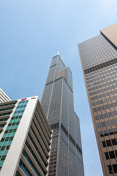
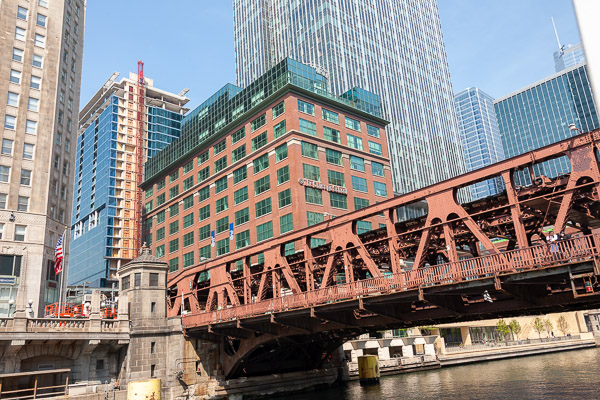
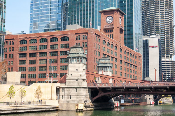
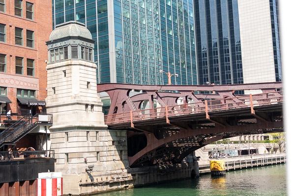
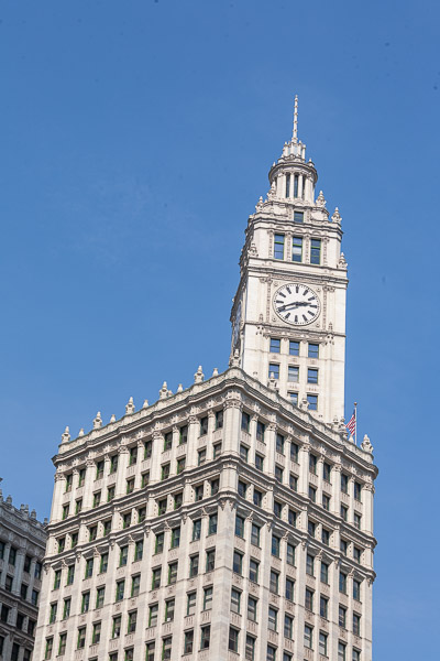
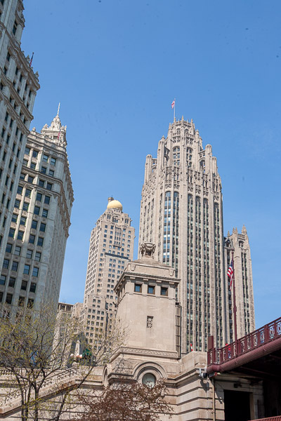
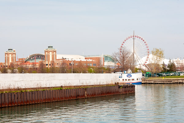
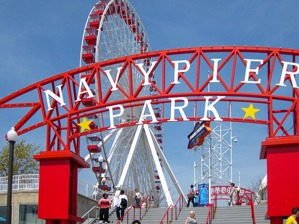
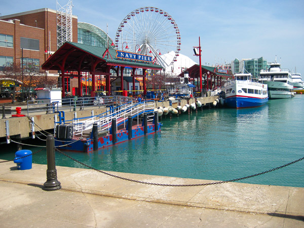
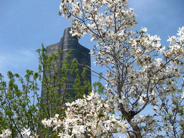
The first leg of my journey was to hook up with the start of Route 66 in Chicago. The first 300 miles took me to Chicago where I stopped in at Navy Pier and took one of the architectural tours on the Chicago river. It was a very sunny and warm day sitting in the open air boat I got a touch of sunburn.
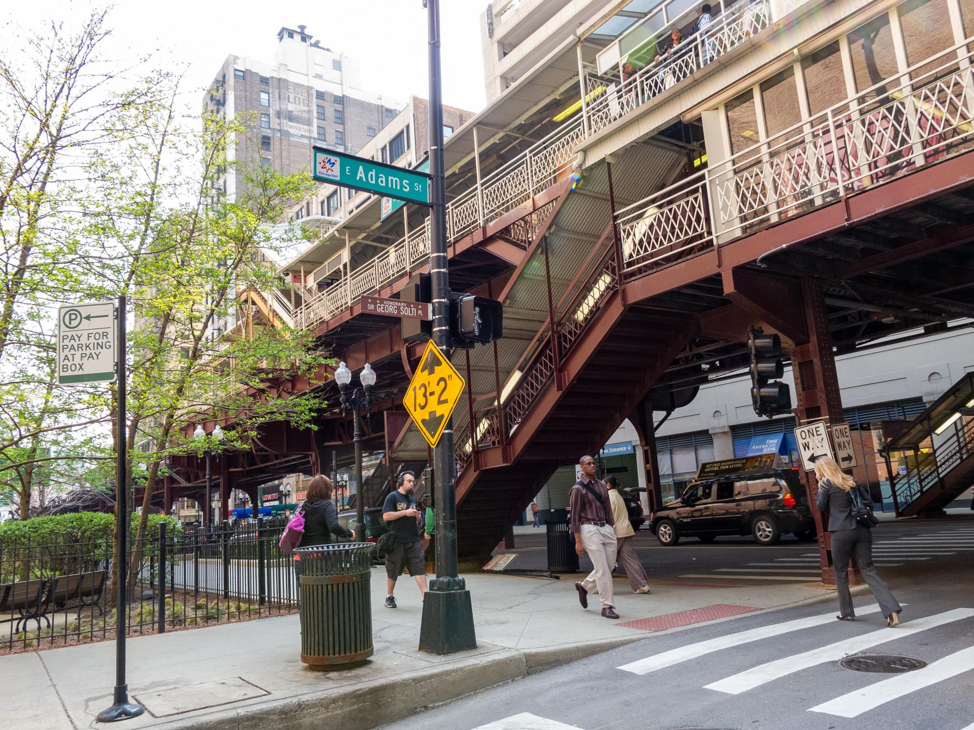
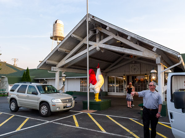
I took Rte 66 out of Chicago heading west on Adams Ave. It was difficult trying to find and follow the road out of Chicago. Lots of traffic, streets at weird angles and pedestrians are all a challenge. It also didn't help that I was leaving near quitting time. It wasn't until I got to Romeville that things started to slow down and ease up. It was here I had dinner at the White Fence Farm Restaurant, home of the fried chicken. The meal was served with a selection of relishes that included: a bean salad, pickled beets, cottage cheese, coleslaw, and corn fritters.
By the time I got to Joliet I was ready to settle in for the night. There were several things I saw that I wanted to check and I was just tired.
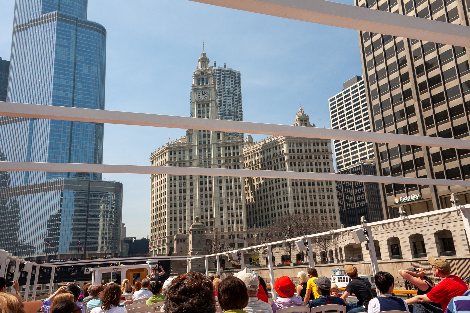
Chicago, IL
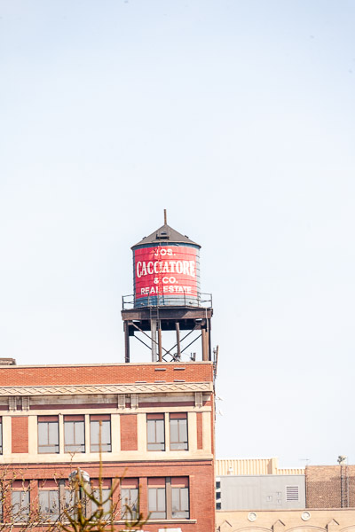
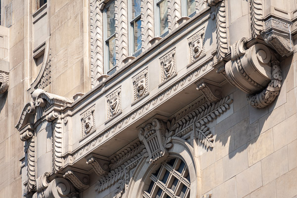
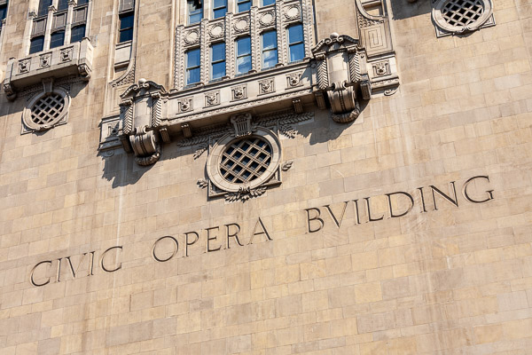
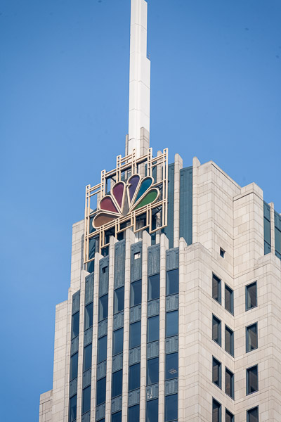
Architecture tour from the Chicago river

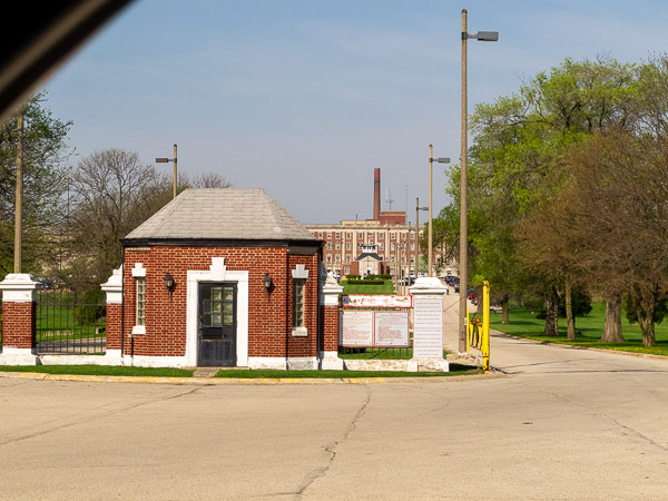
This morning started with exploring Joliet and some of the sights I drove by last night. Joliet has a prison that was made famous by the Blues brothers. This is an interesting town that is divided by the Illinois waterway.
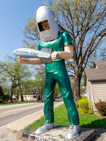
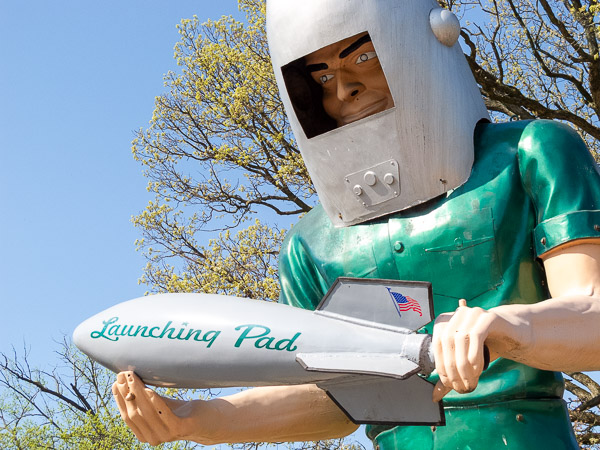
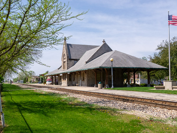
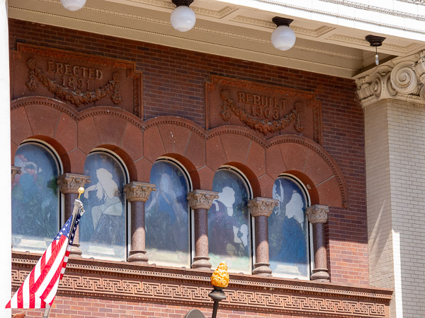
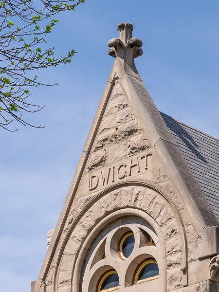
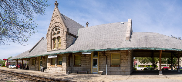
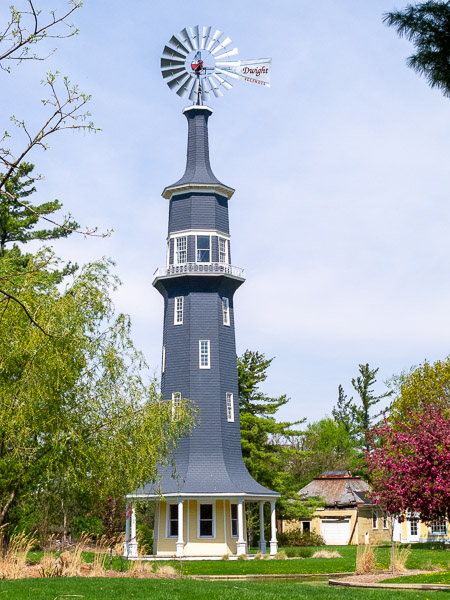
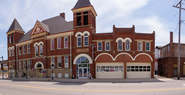
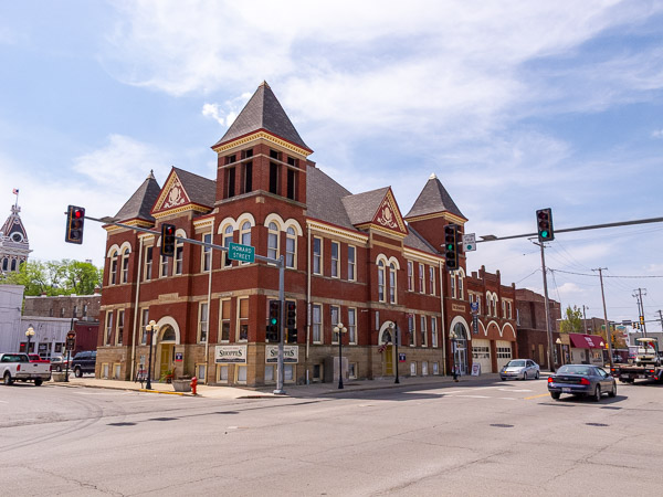
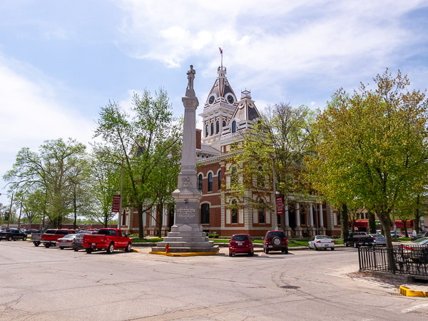
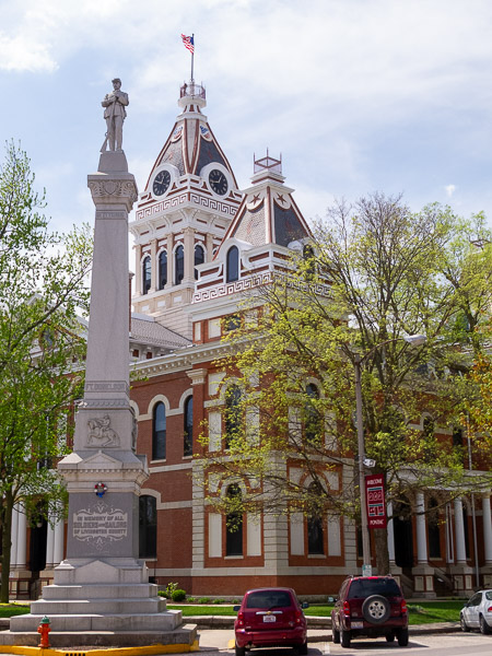
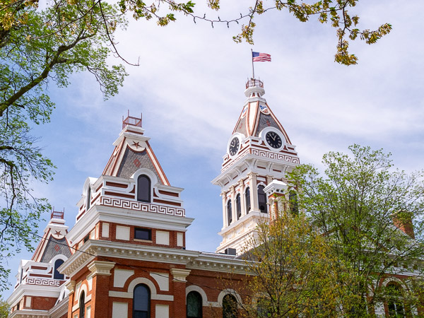
Today's drive was a joy, as most of it was through small towns with very little traffic. I saw two nicely restored vintage service stations and giant statues that are famous along this route. Dwight was a nice small town with a great downtown area and a train depot. The highlight of the day though was discovering Pontiac, Illinois, with its beautiful courthouse and old fire station that contains a Route 66 museum.
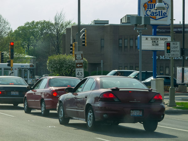
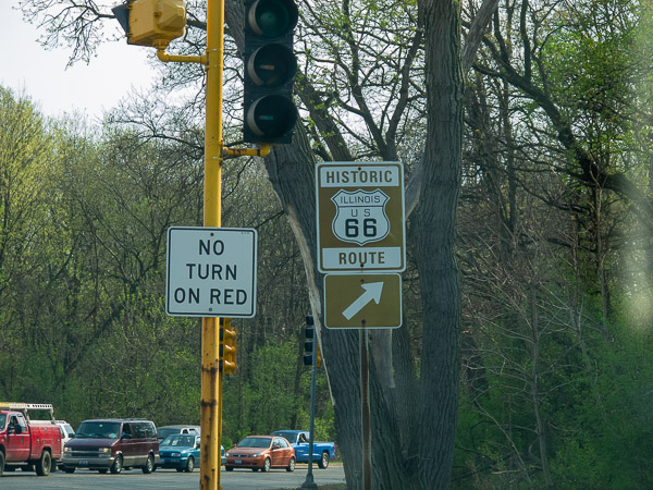
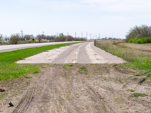
Route 66 was a 4 lane highway in many sections between St Louis and Chicago. While you can drive the route, much of it is now 2 lanes, with stretches of the other 2 lanes still visible. In some places these extra lanes are now bike and walking trails.
Route 66 Illinois
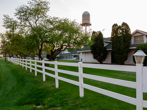
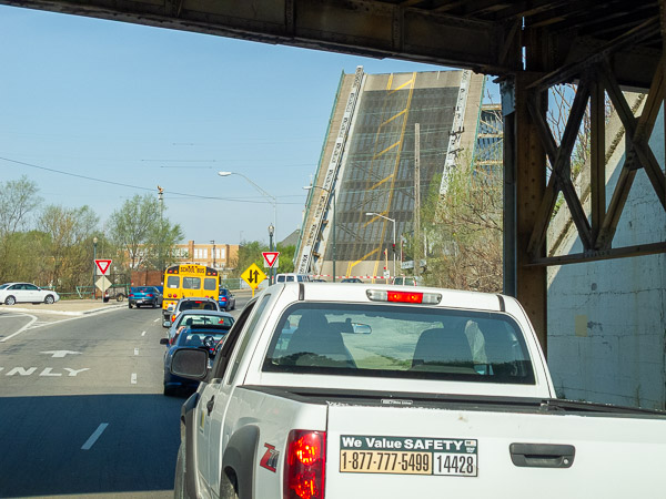
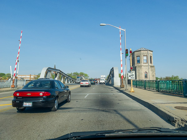
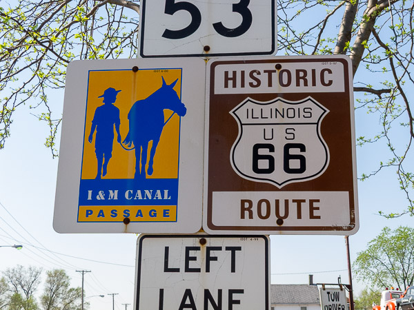
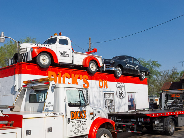
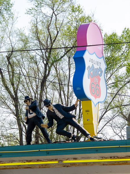
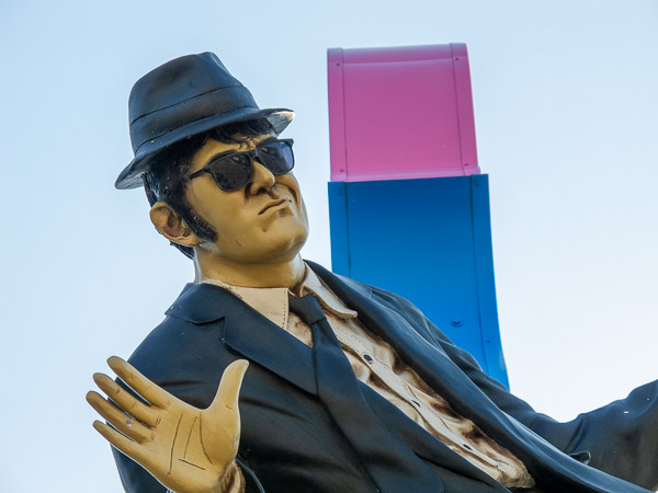
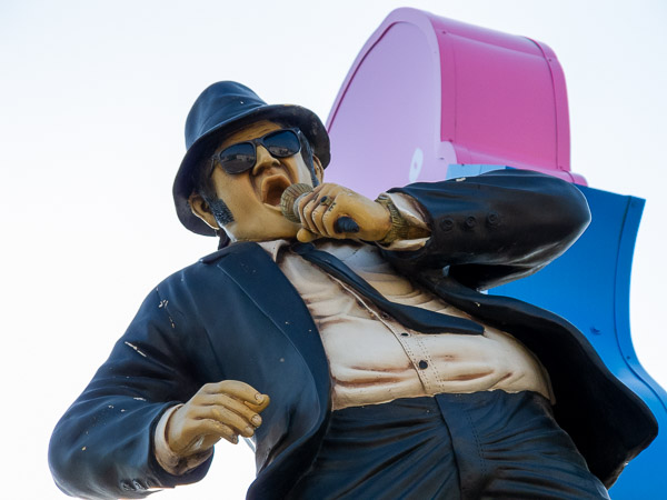
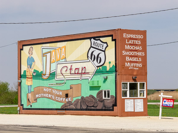
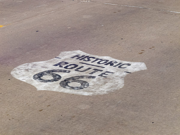
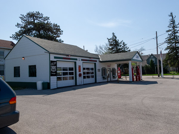
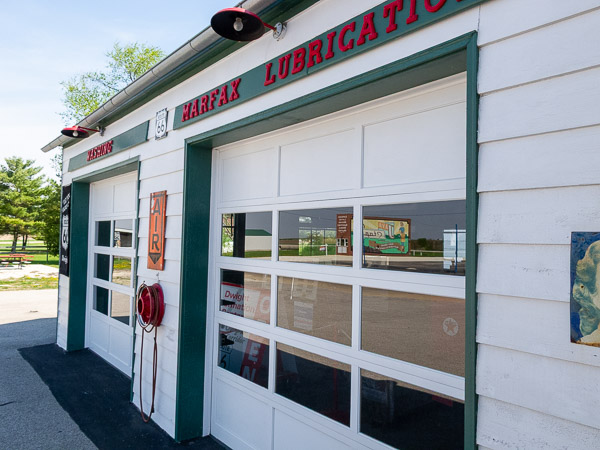
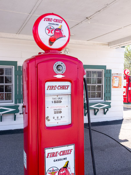
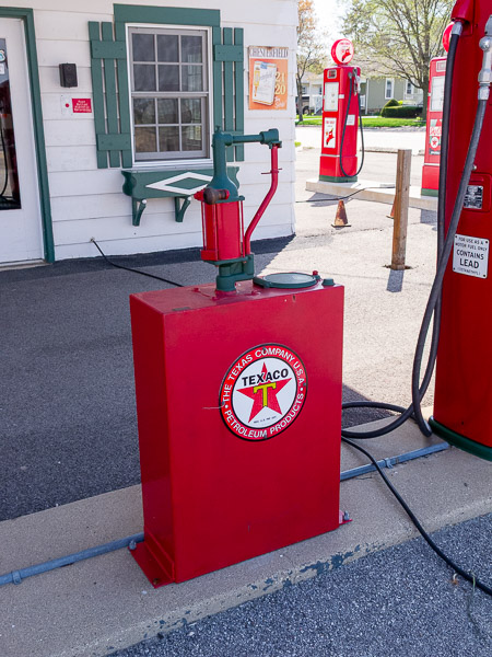
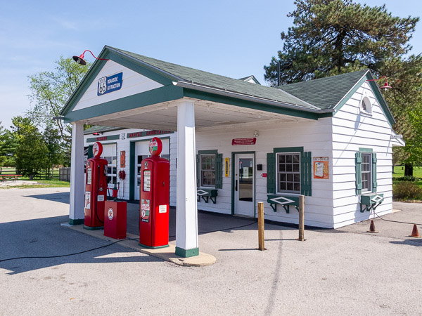
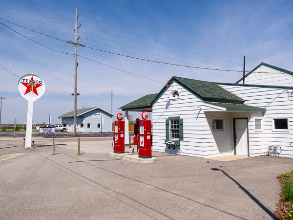
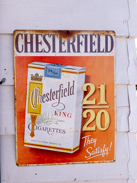
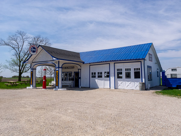
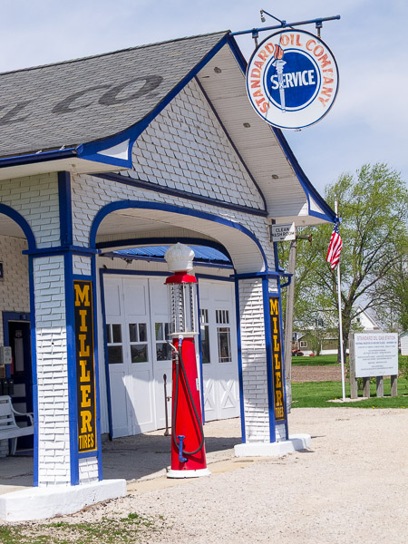
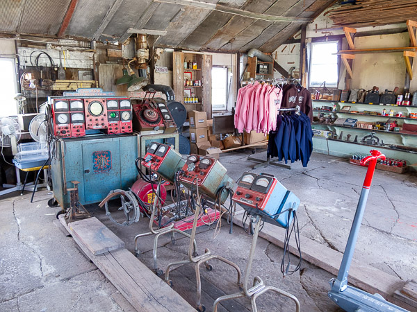
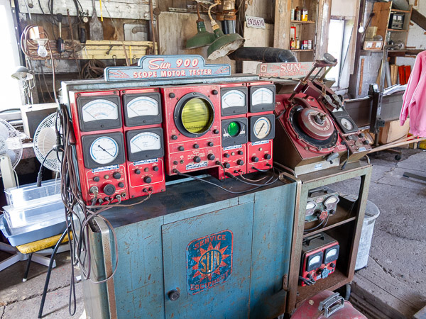

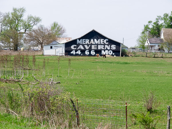
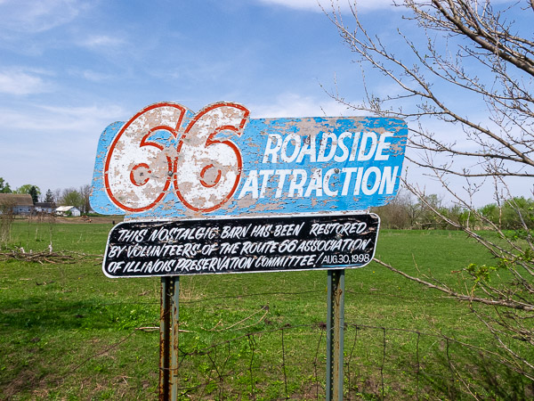
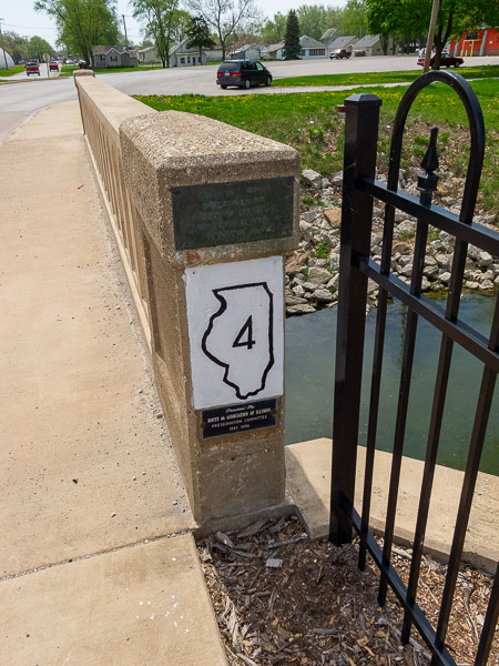
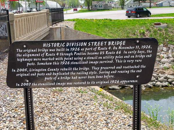
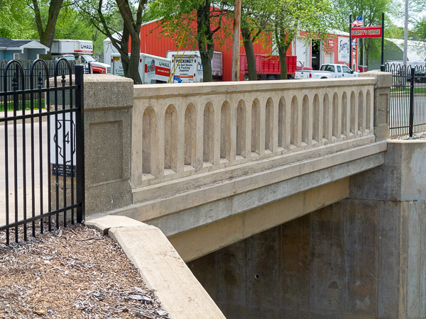
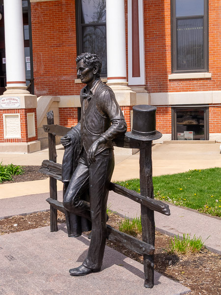
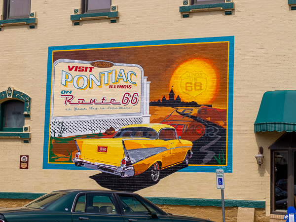
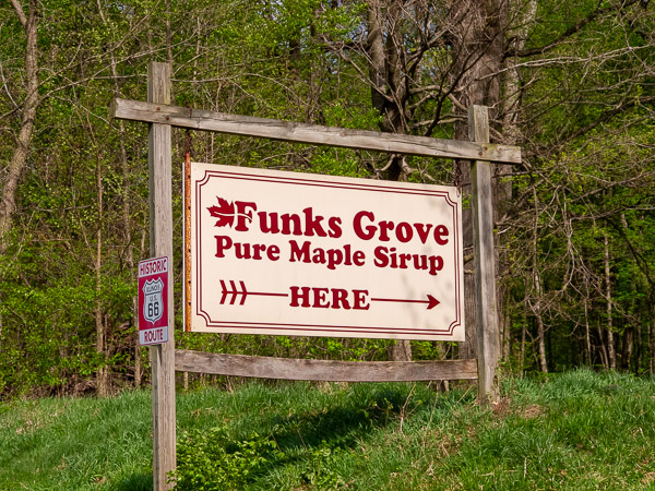
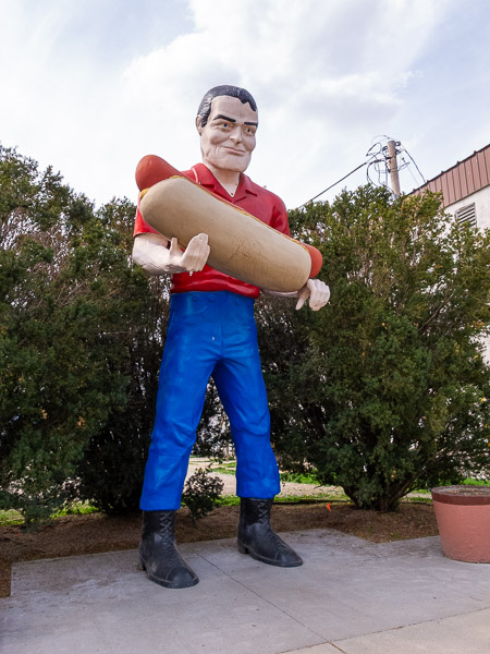
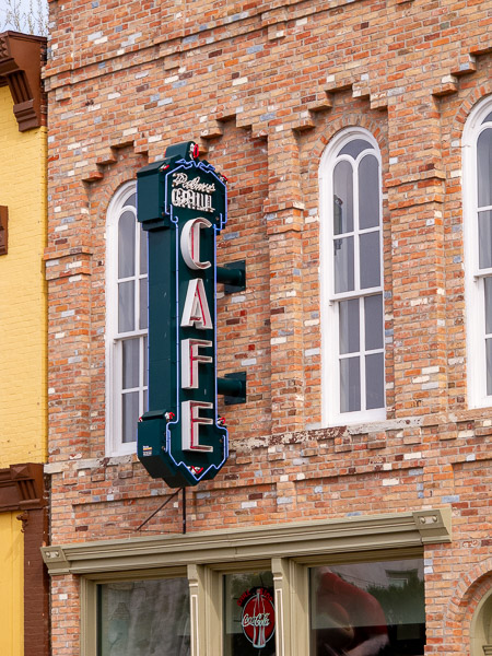
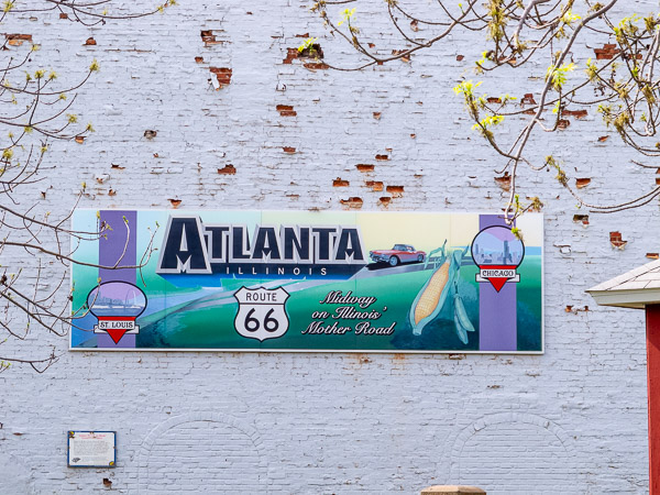
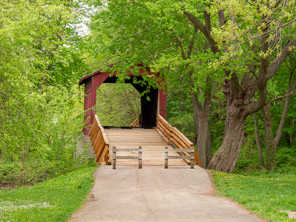
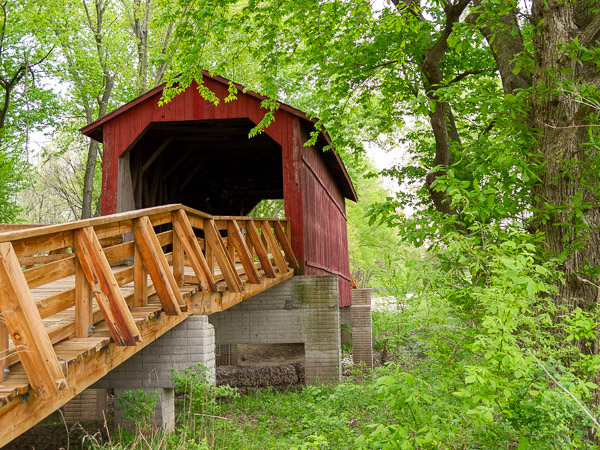
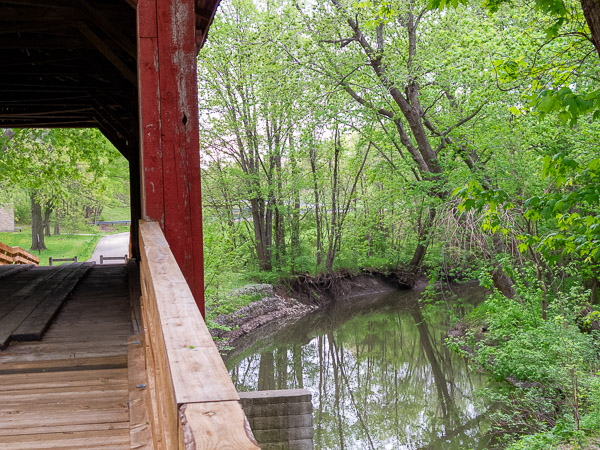
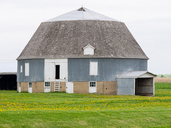
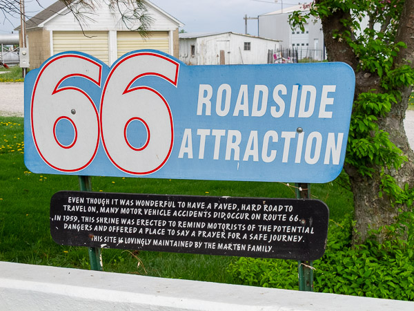
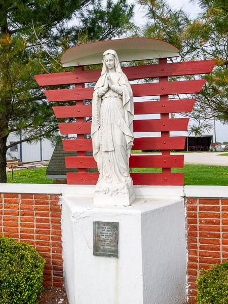
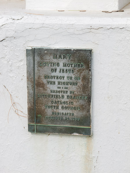
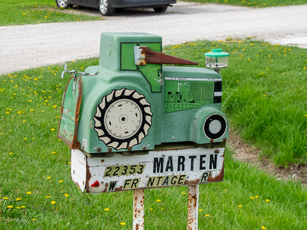
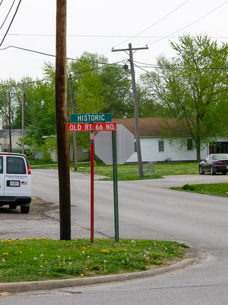
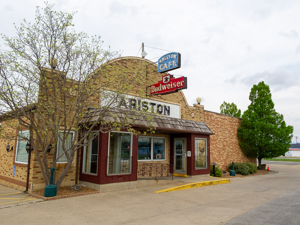
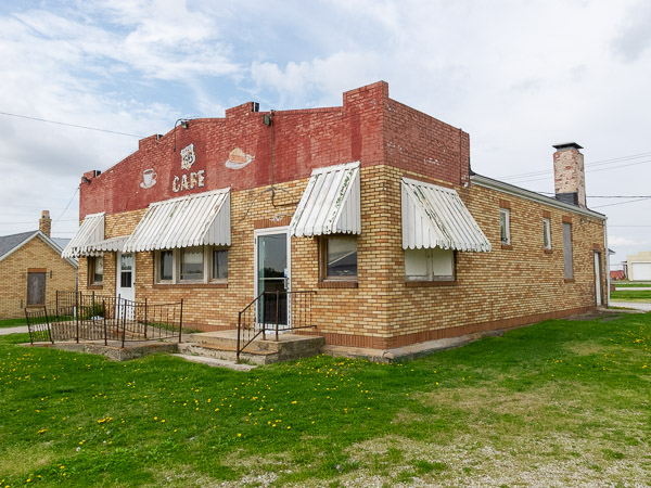
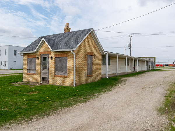
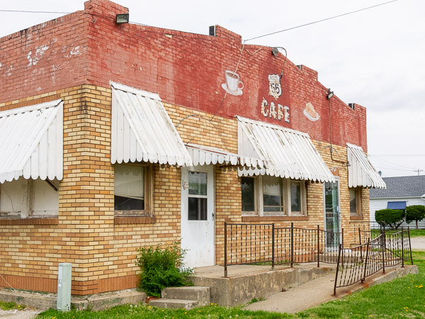
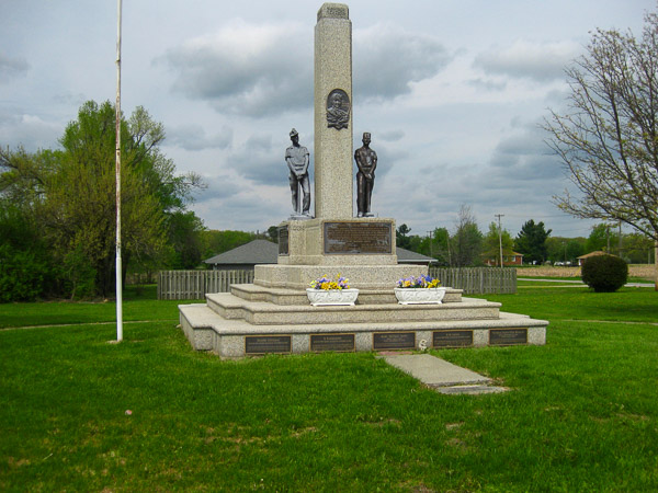

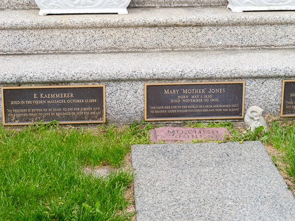
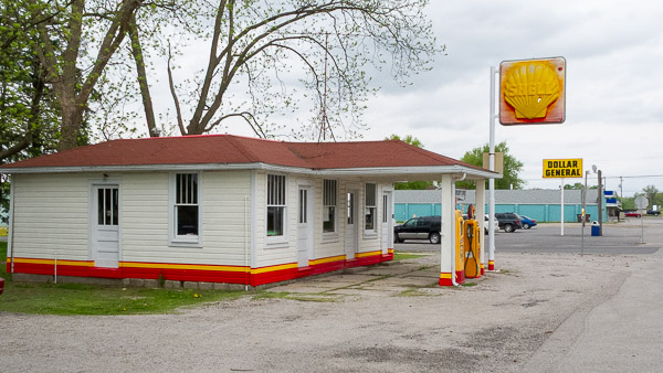
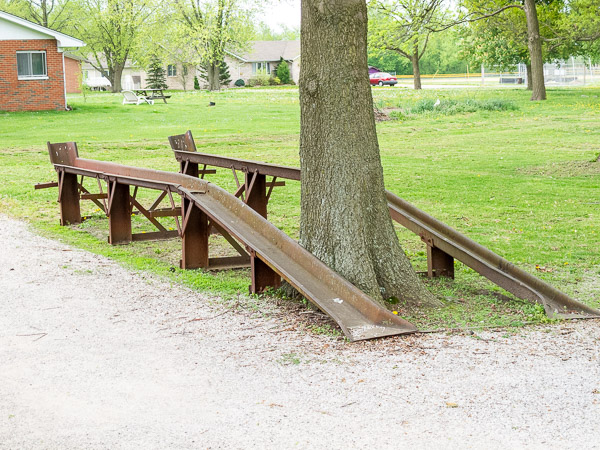
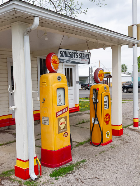
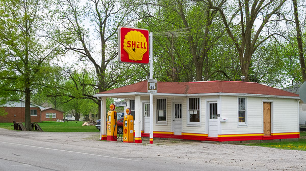
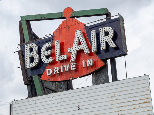
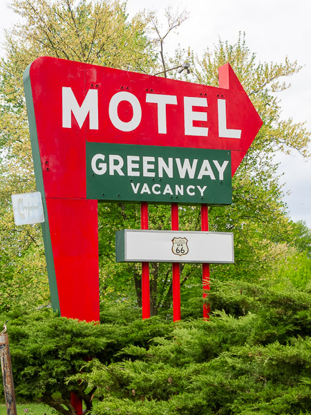
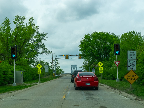
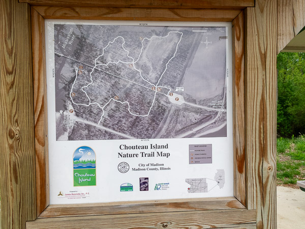
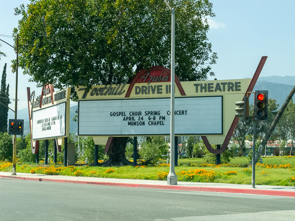
Heading out of Springfield this morning it is overcast. First stop is the Sugar Creek covered bridge. Following that are barns, roadside shrines, old cafes and motor courts, drive-in movie theaters, bridges and service stations.
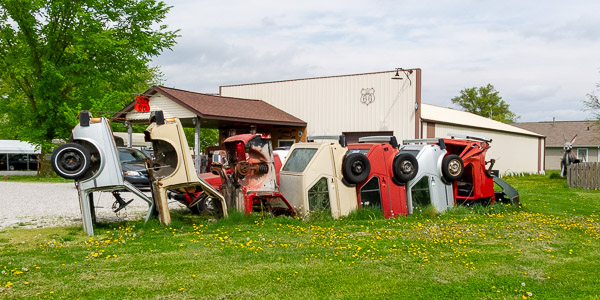
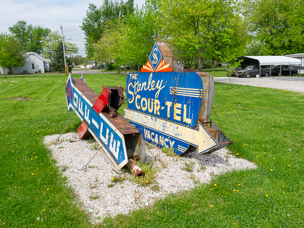
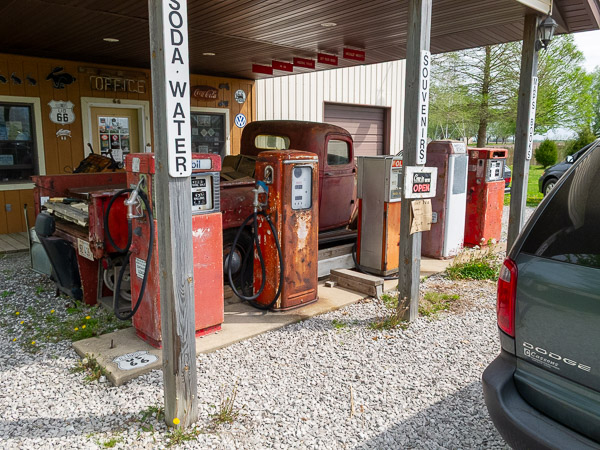
I stopped in at Henry's Rabbit Ranch roadside stop in Stanton, Illinois. He had collected some old motel signs and gas pumps, and created a VW Rabbit version of the Cadillac Ranch in Amarillo, Texas. He also had several live rabbits along with souvenirs and books on Route 66.
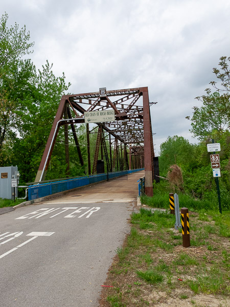
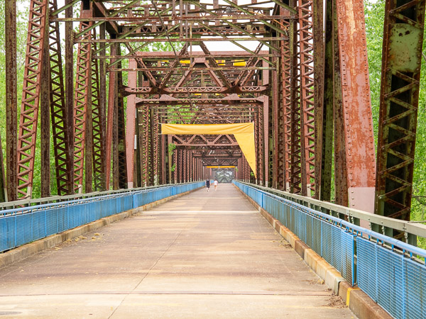
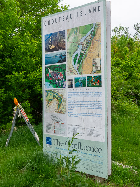
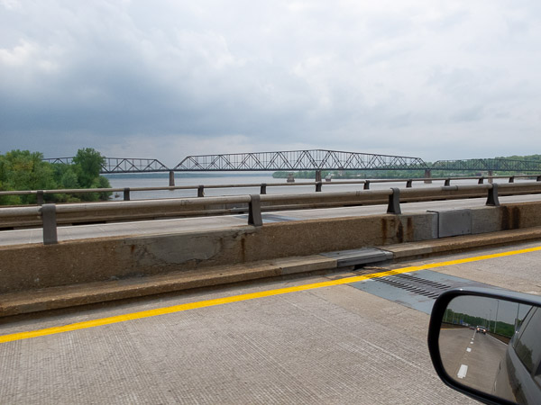
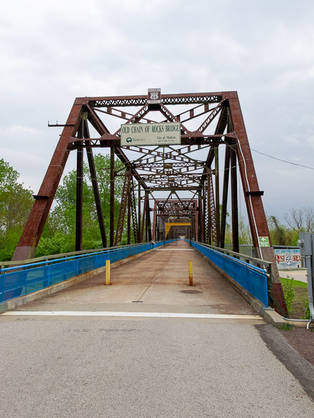
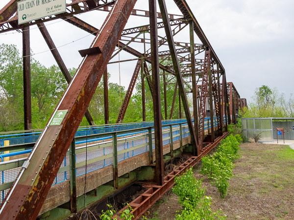
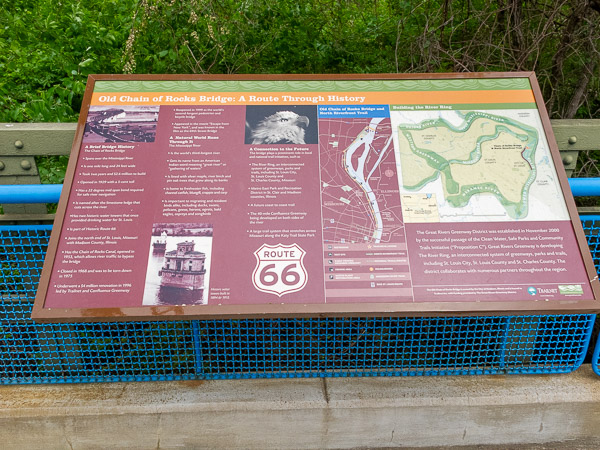
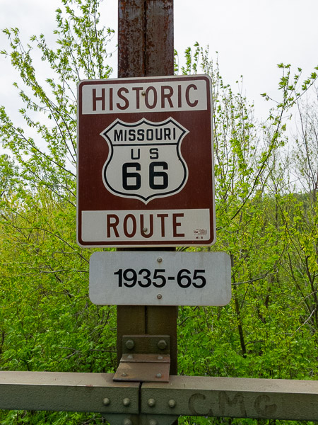
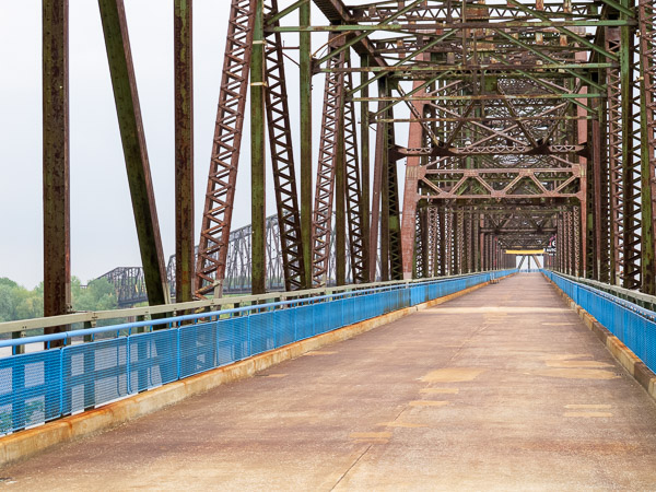
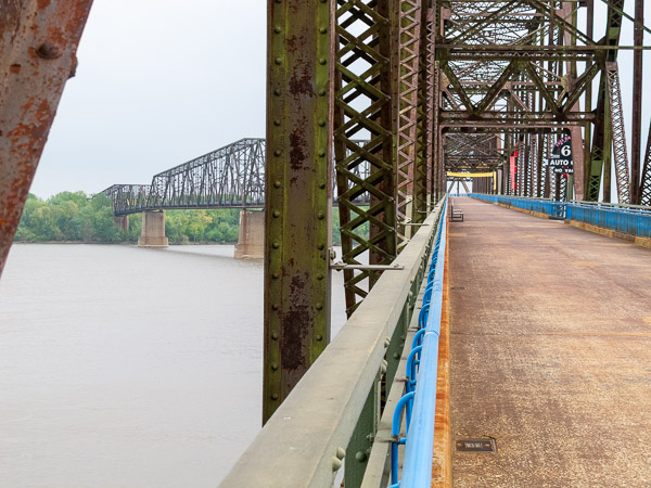
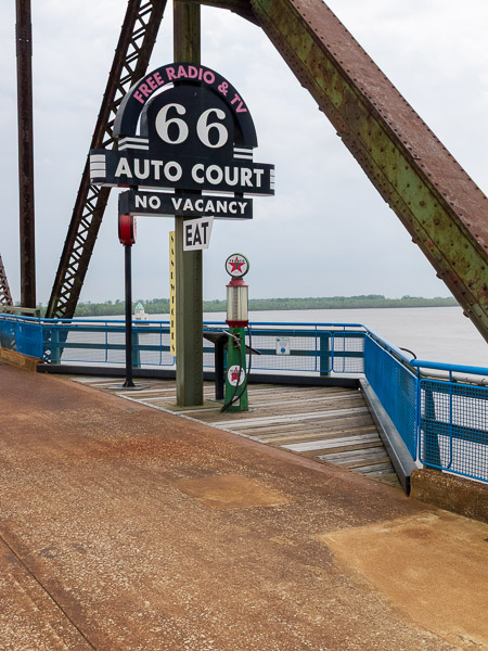
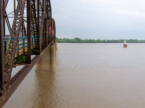
The Chain of Rocks Bridge crossing the Mississippi River between Illinois and Missouri is an attraction I wanted to see. This is where Rte 66 crossed the river with not much more than a single lane. This bridge is now closed to traffic but is a pedestrian and bike bridge. A unique feature is a nearly 90 degree bend near the Missouri side. The Old Chain of Rocks Bridge was constructed in 1929 as a toll bridge. It became part of Rte 66 in 1936.
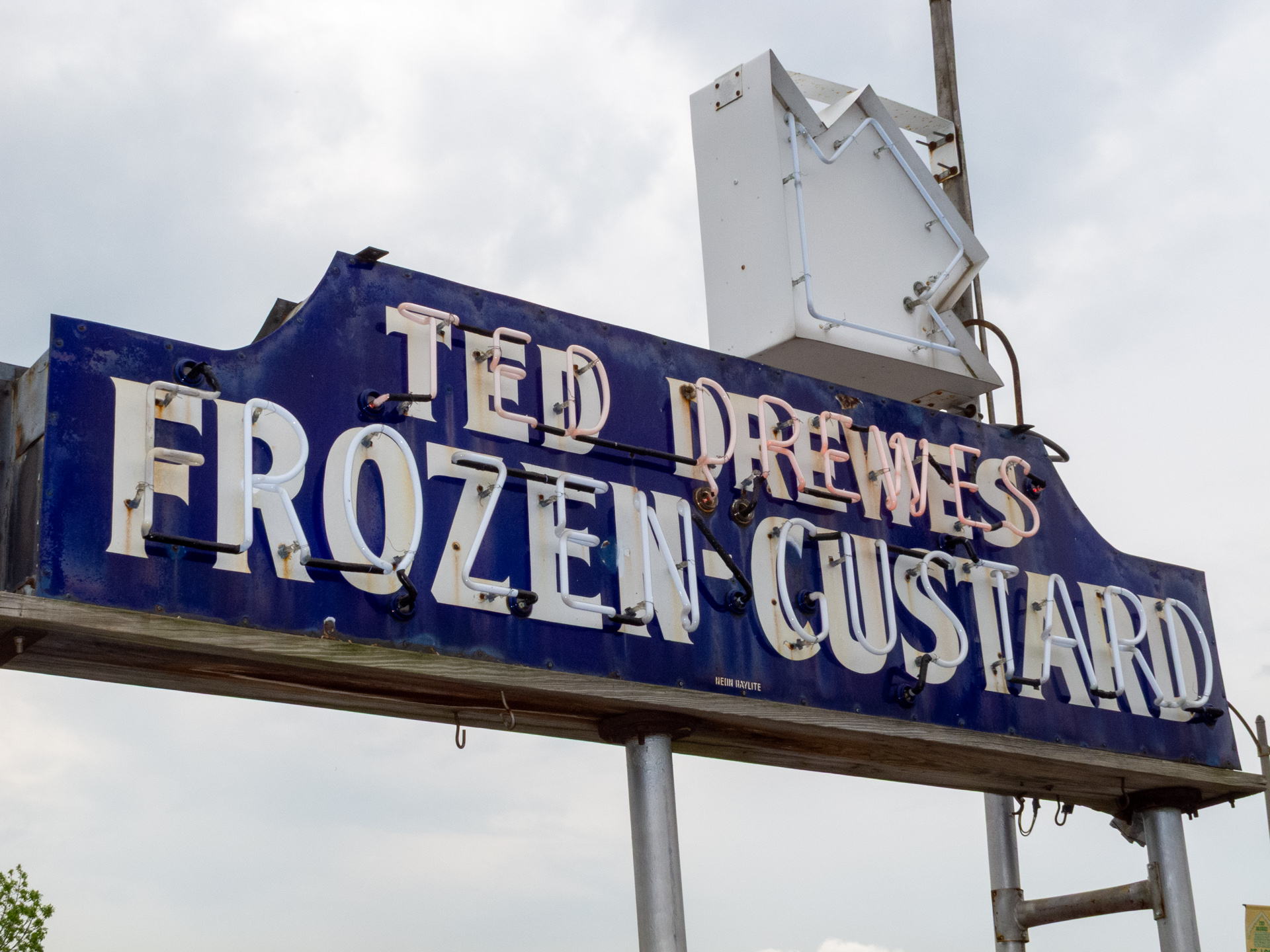
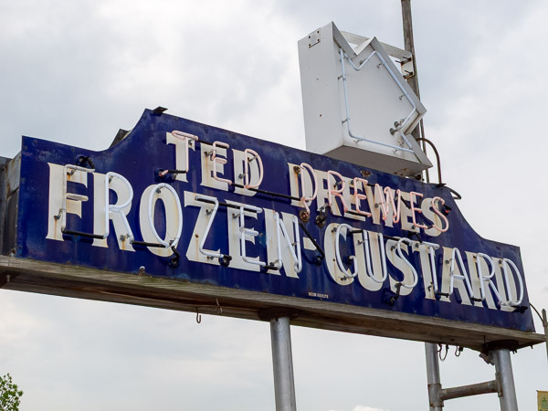
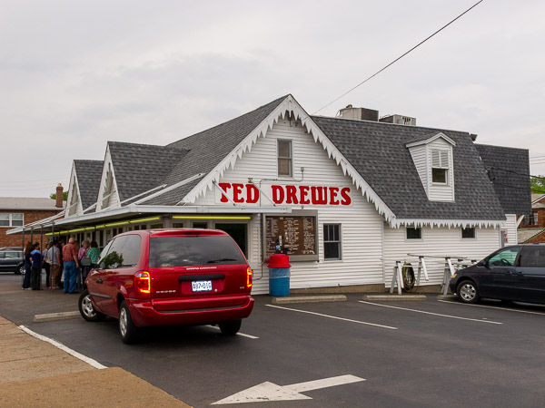
The drive through St Louis was difficult to follow and there are several alignments to choose from. I'm trying to stay with the oldest alignments if possible or the one with the most interesting sights. There was some construction in the downtown area that blocked my route and I had to navigate around. The GPS came in handy here. Ted Drewes Frozen Custard is a primary location I wanted to see and taste. Even though it was an overcast day there was a good crowd.
I wanted to visit the arch and a transportation museum here, but I realized the driving was taking longer than I expected. I could have spent another day just in St Louis. So on skipping those sites, I headed south to a new Rte 66 state park. I missed the turn off the first time and decided to find a place to stay and come back. I found a place in Eureka near the Six Flags amusement park to stay for the night. I eventually did get back to the state park after a couple of missed turns. This was a loop of Rte 66 off the interstate but the bridge has been closed and divides the visitor center from the rest of the park.
Route 66
Ted Drewes Frozon Custard stand, St Louis, MO
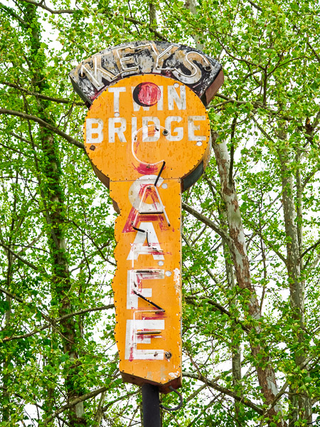
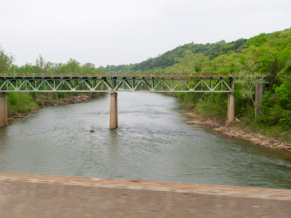
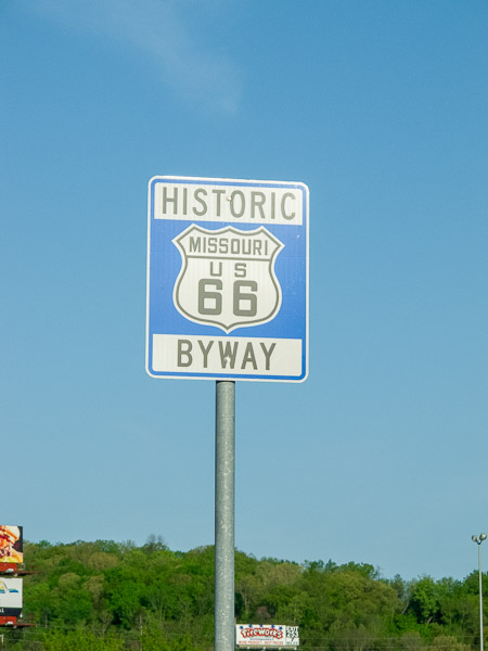
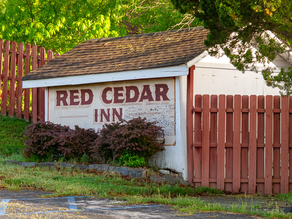
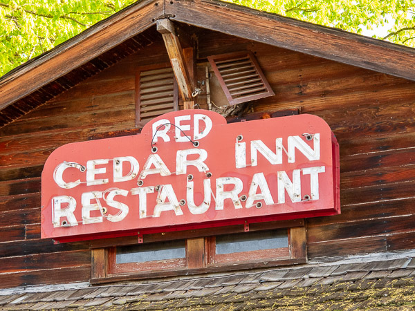
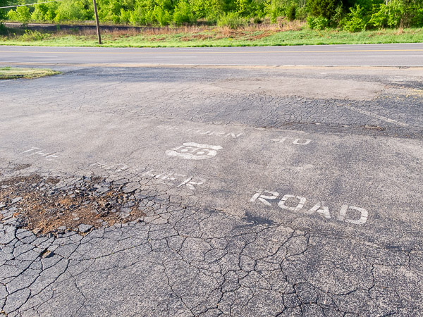
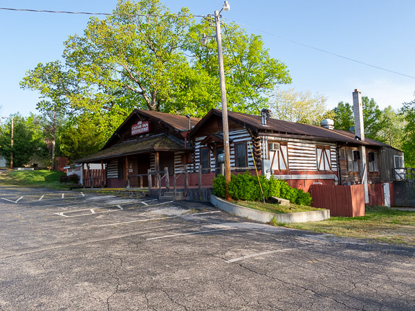
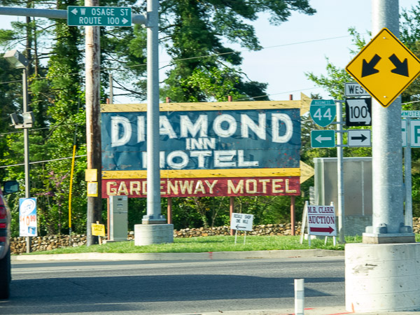
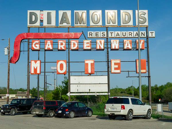
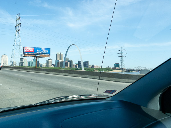
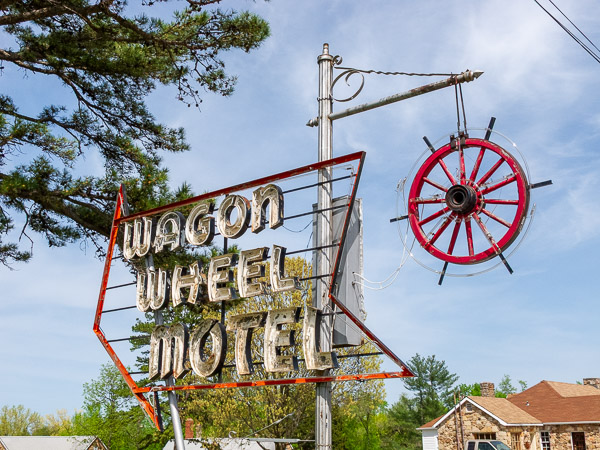
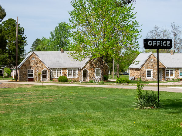
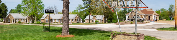
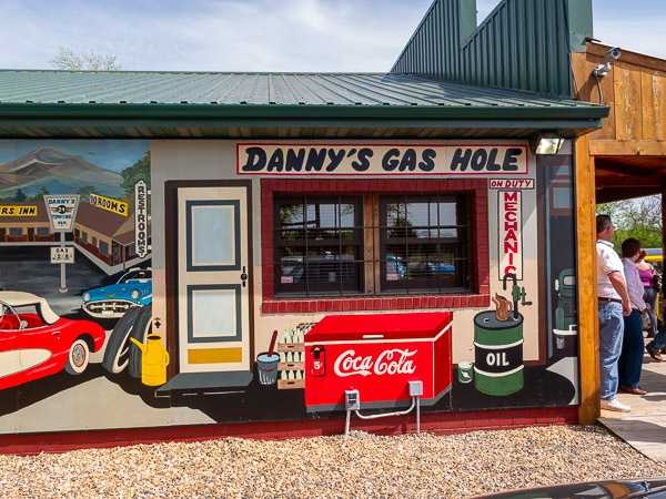
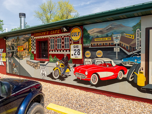
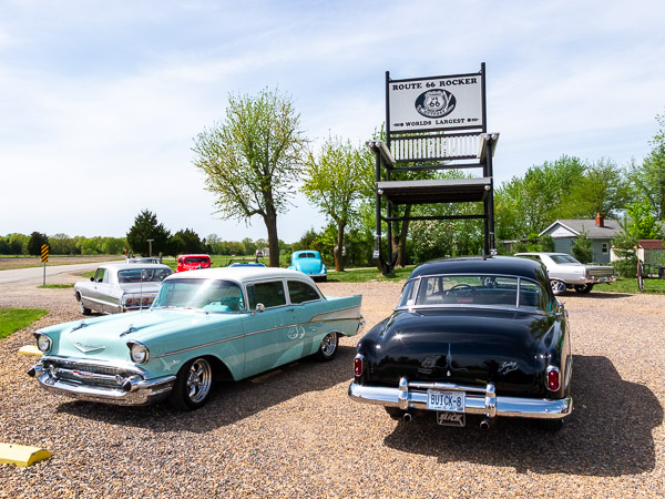
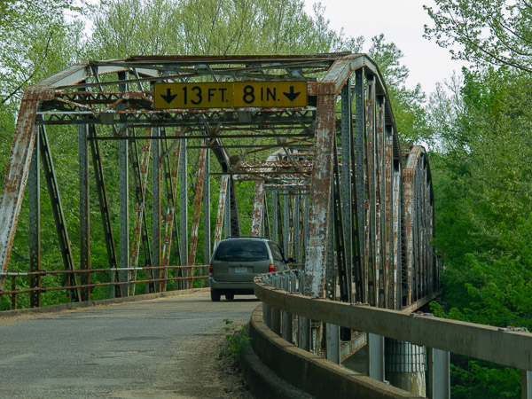
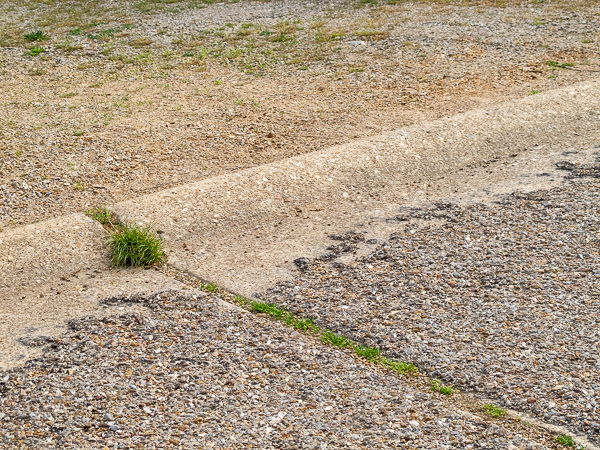
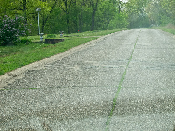
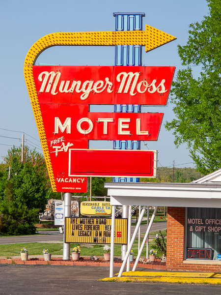
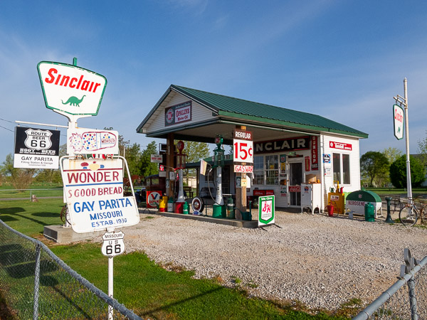
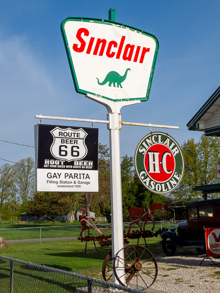

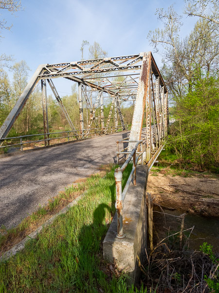
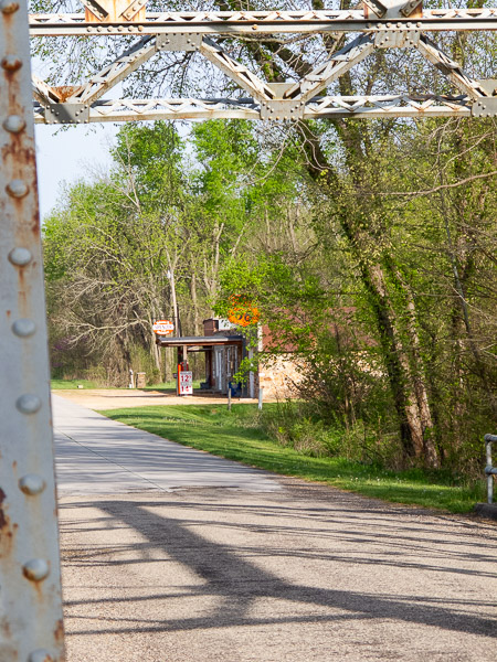
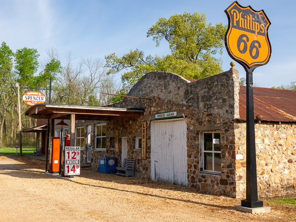
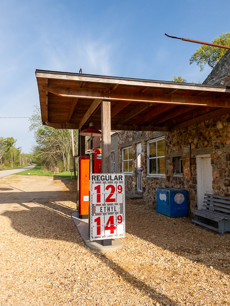
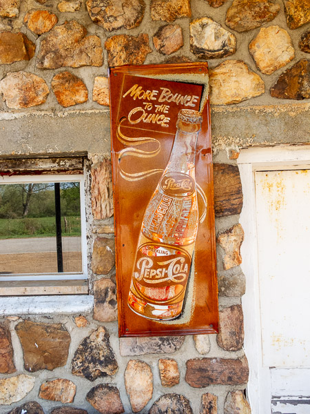
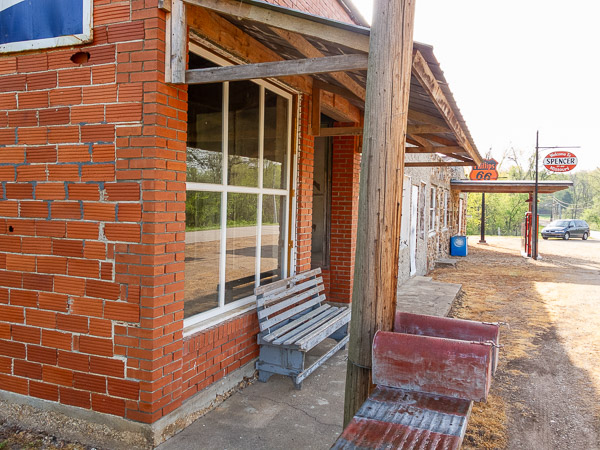
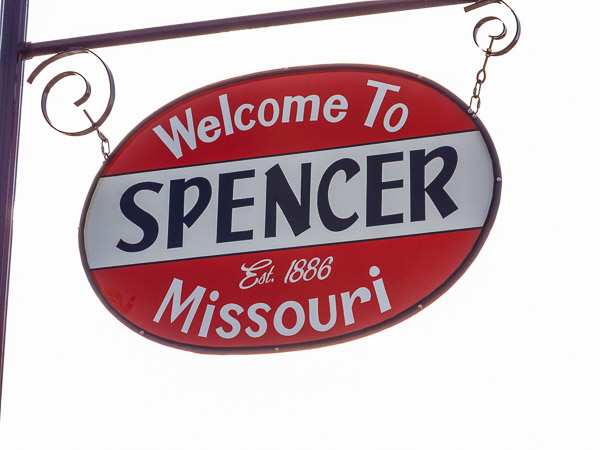
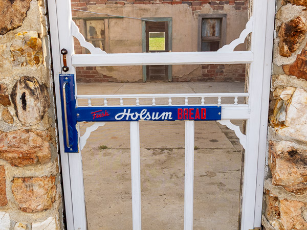
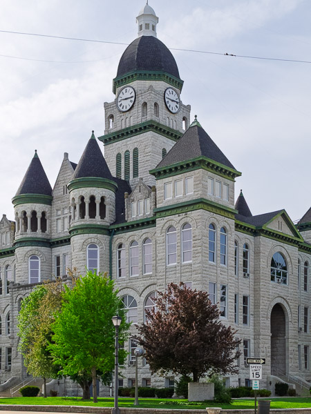
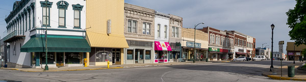
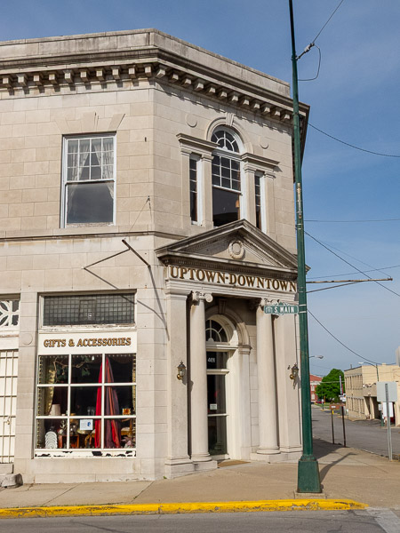
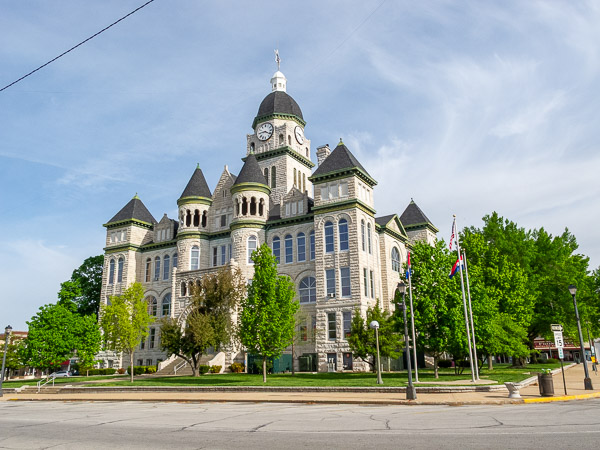
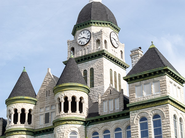
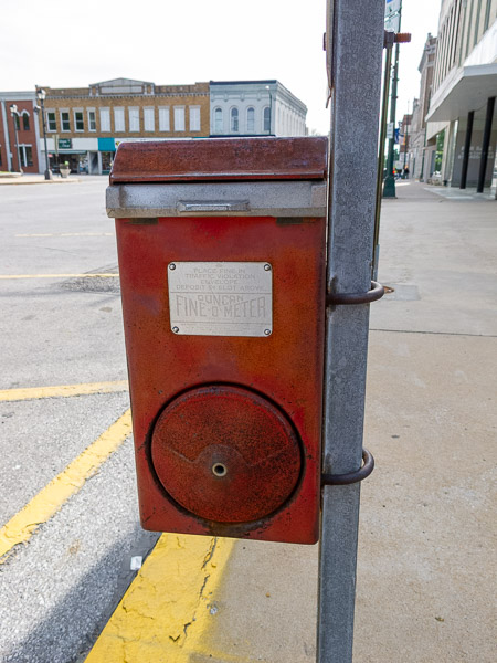
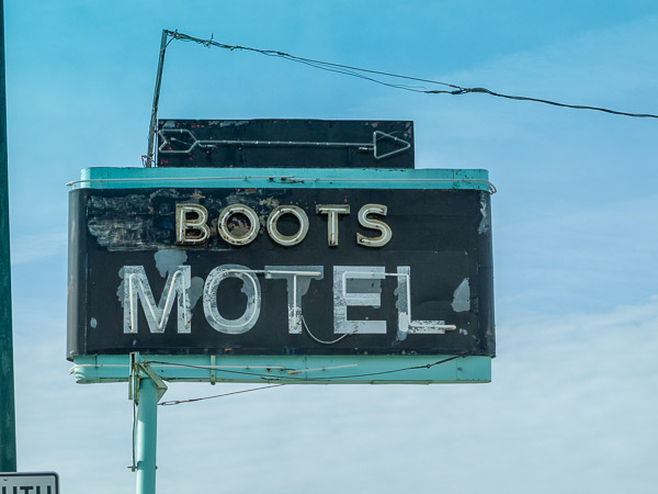
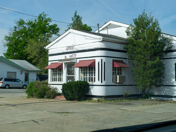

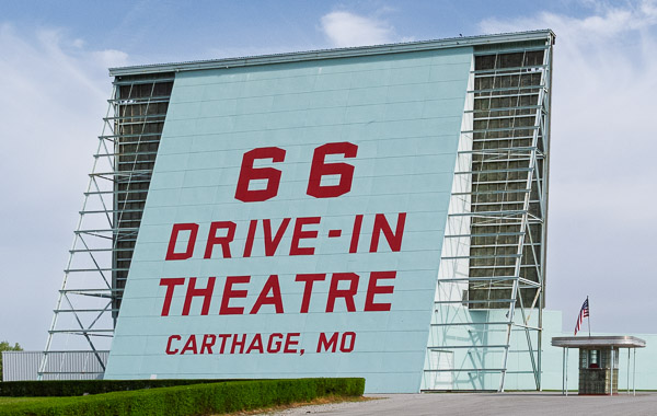
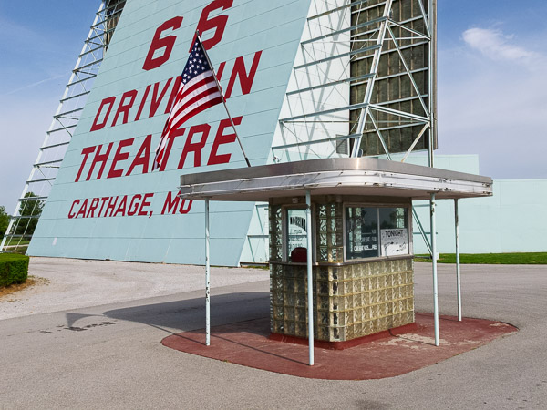
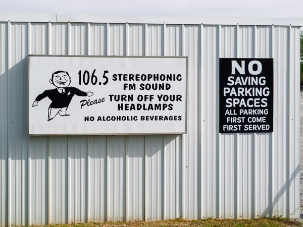
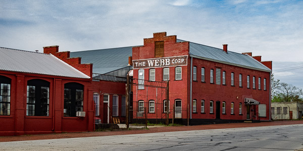
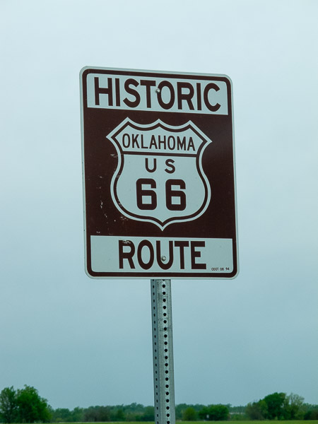
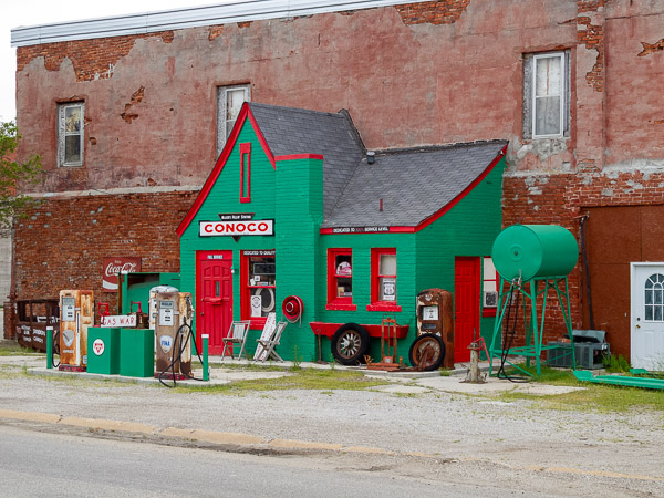
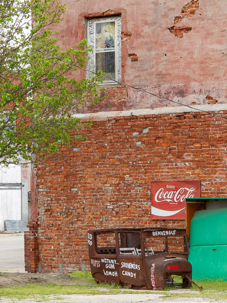
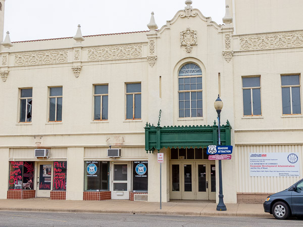
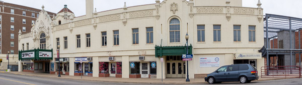
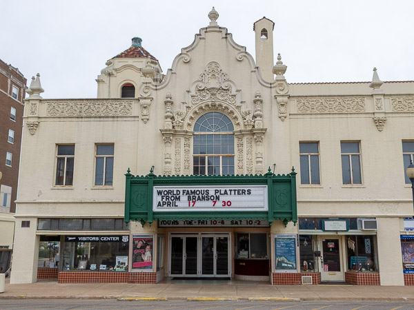
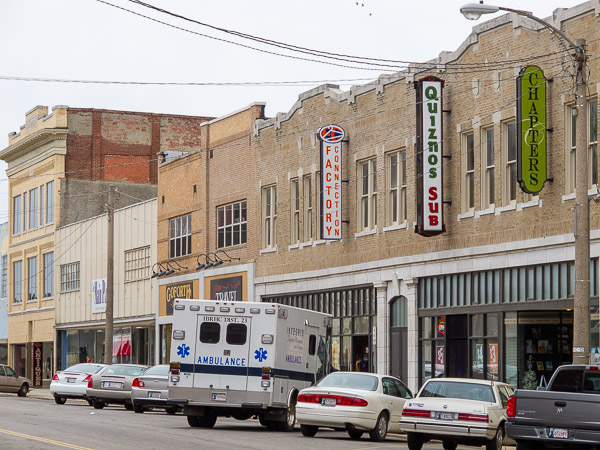
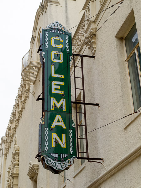
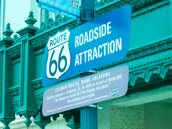
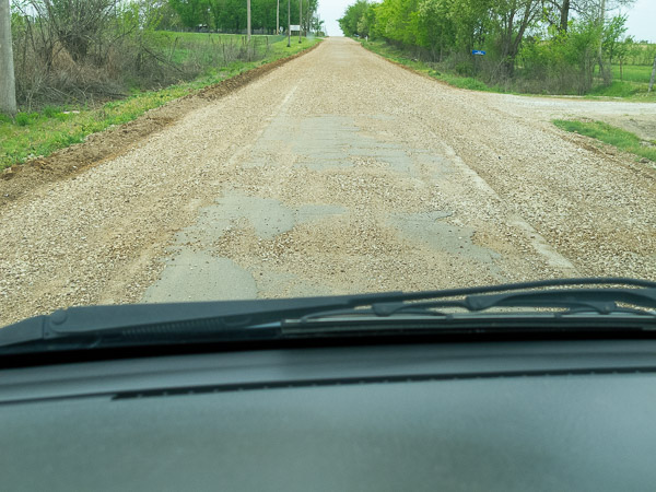
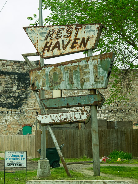
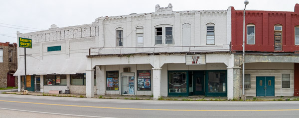

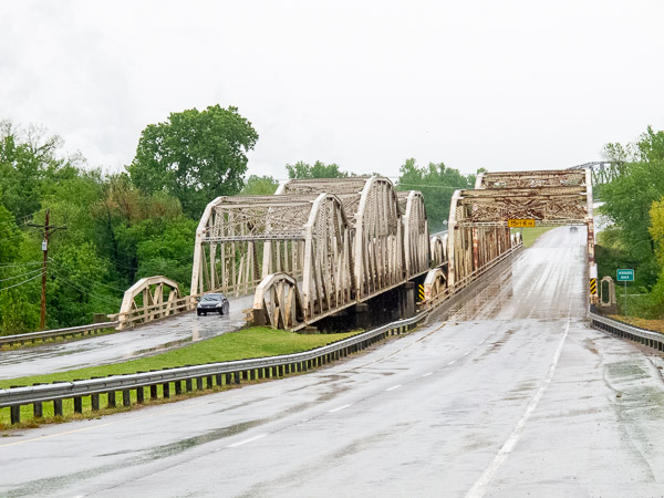
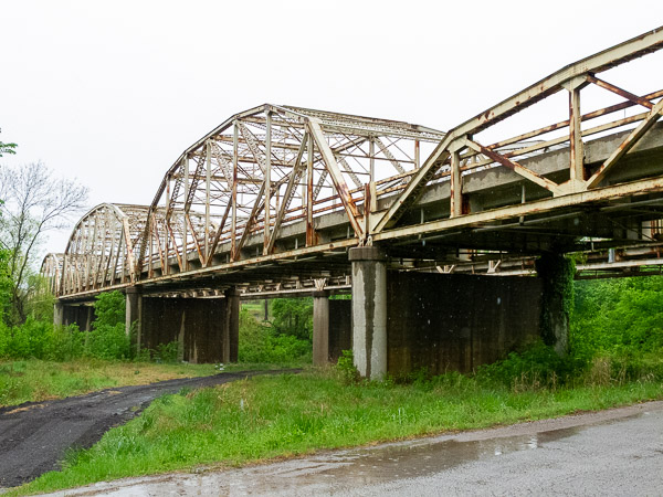
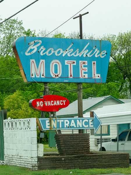
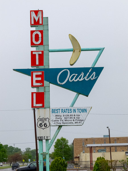
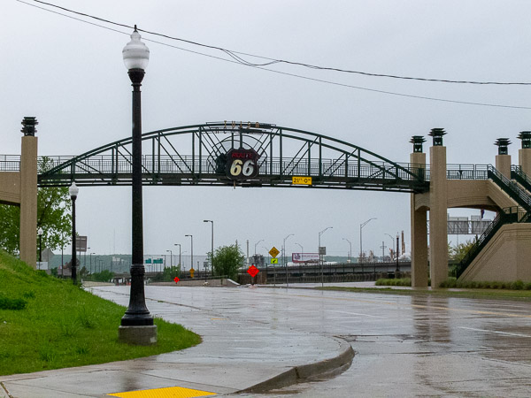
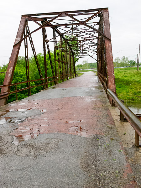
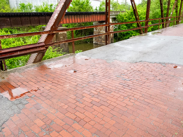
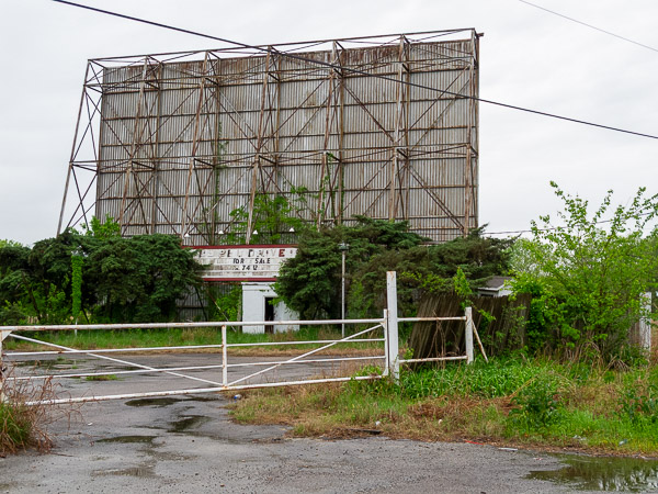
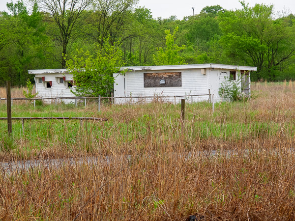
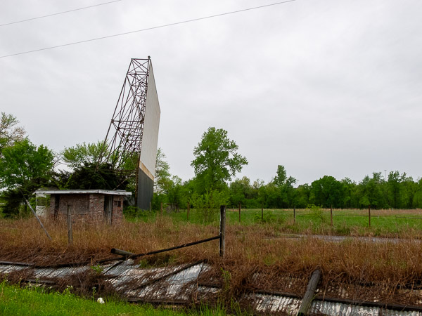
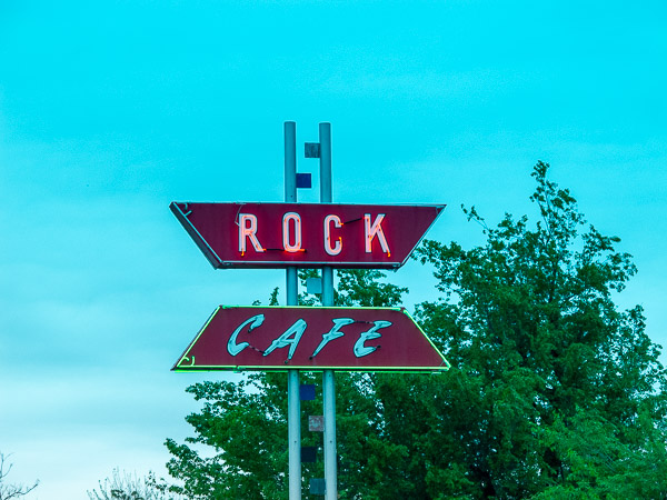
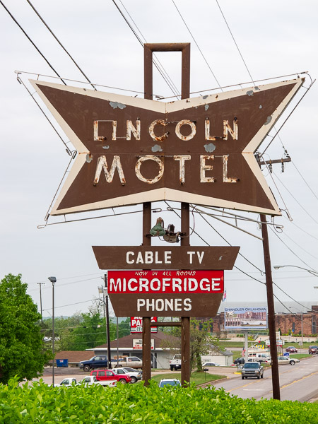
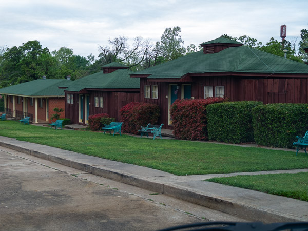
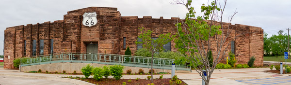
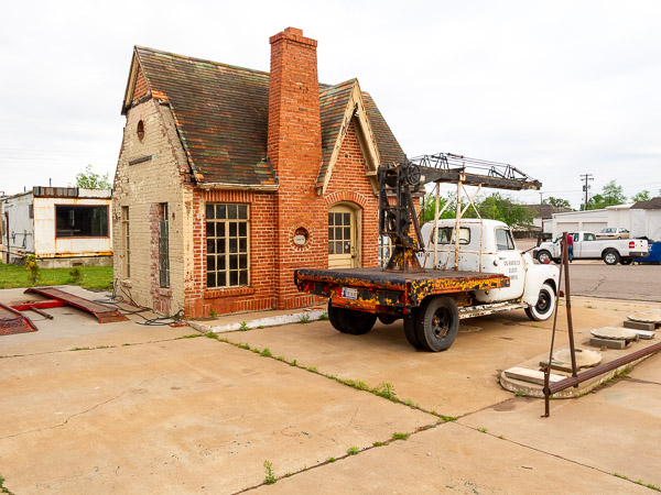
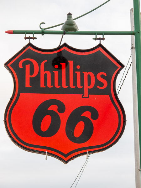
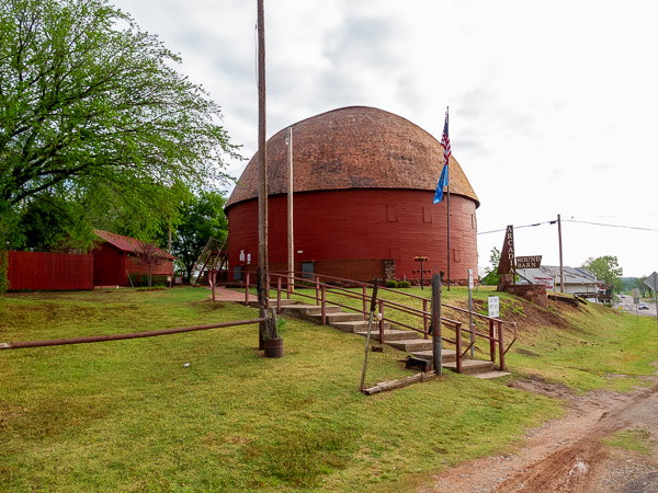
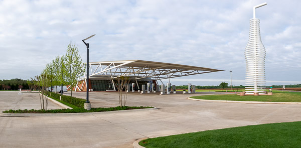
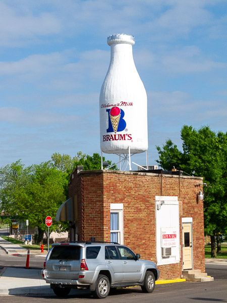
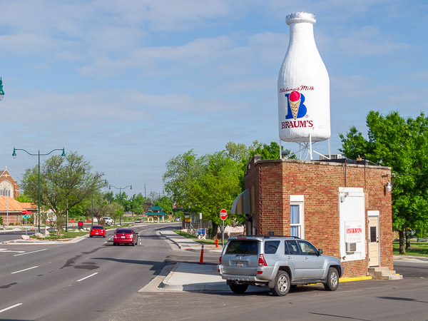
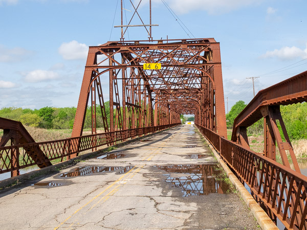

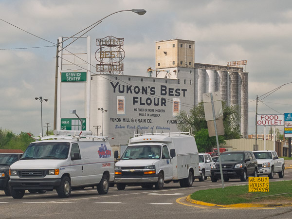
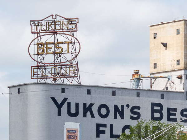
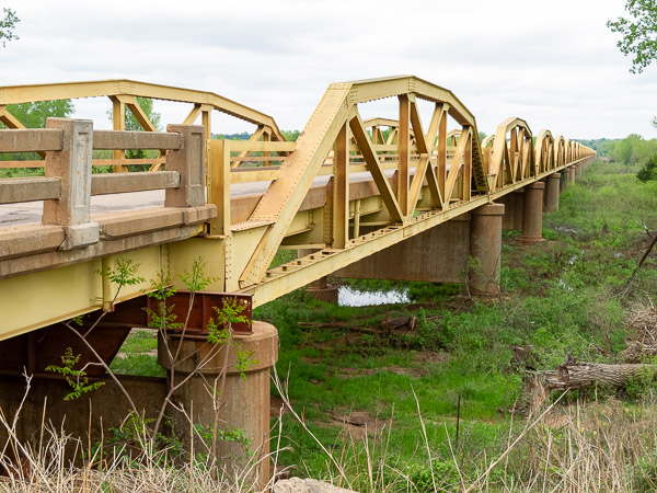
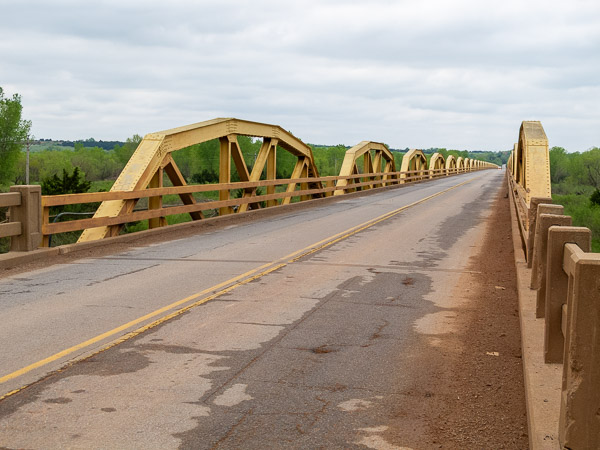
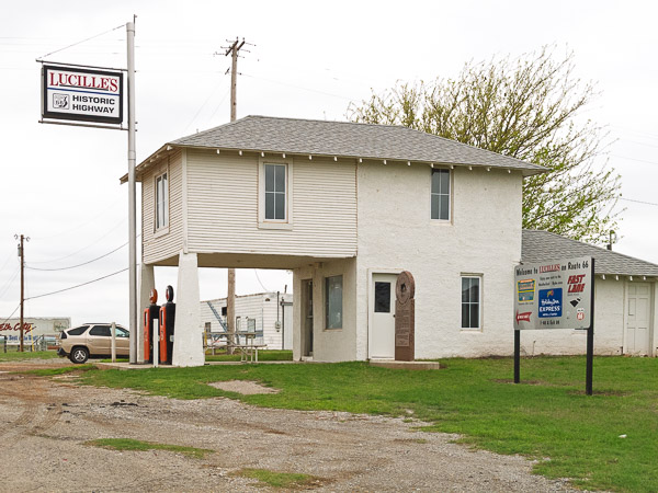
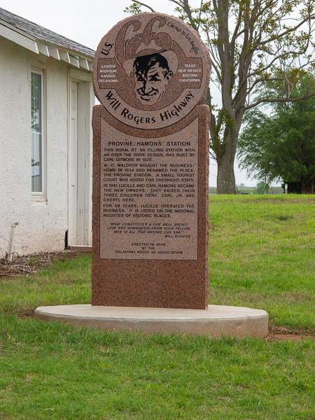


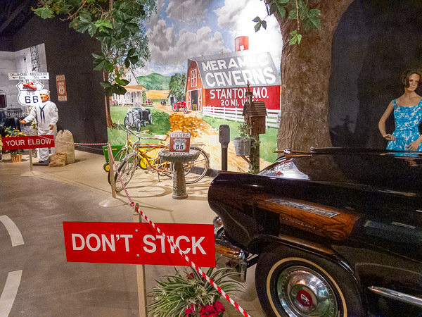
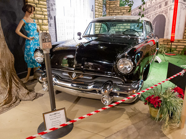
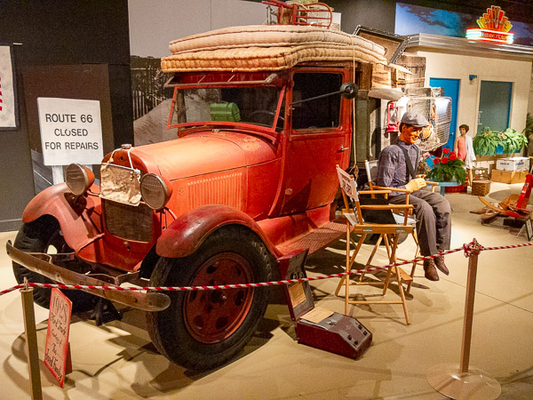
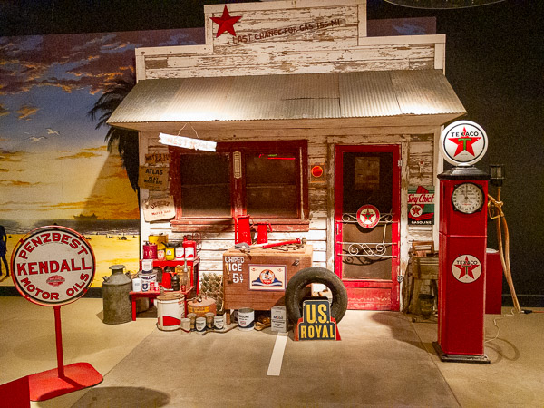
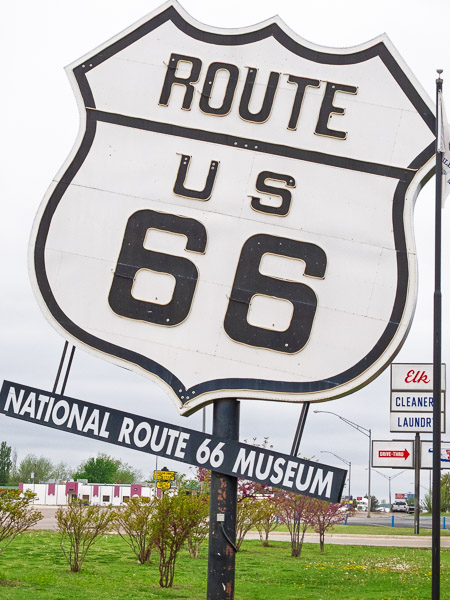
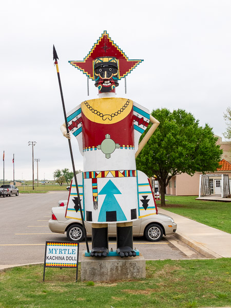
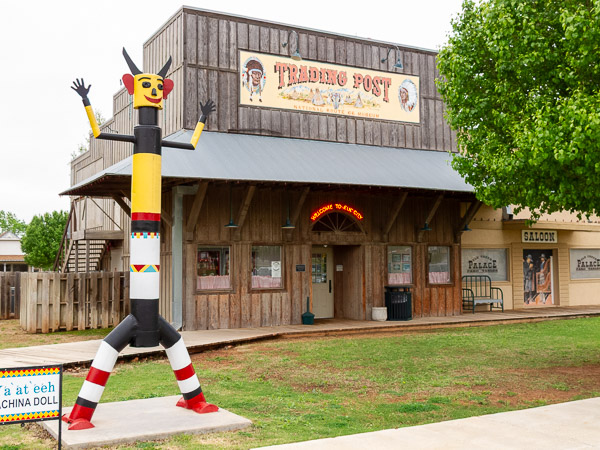
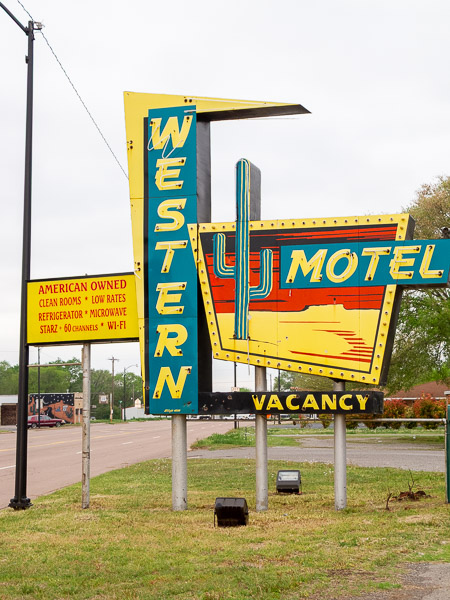
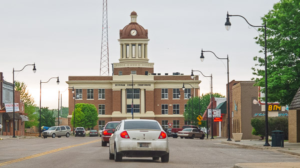
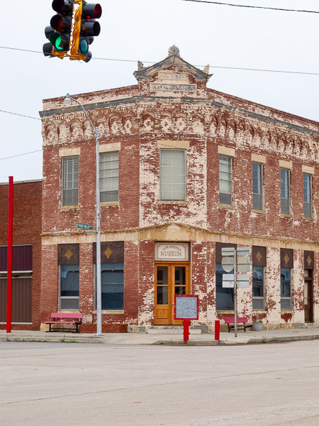
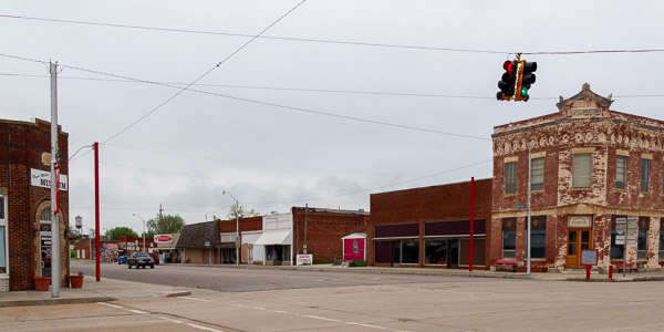
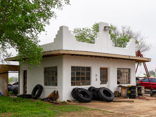
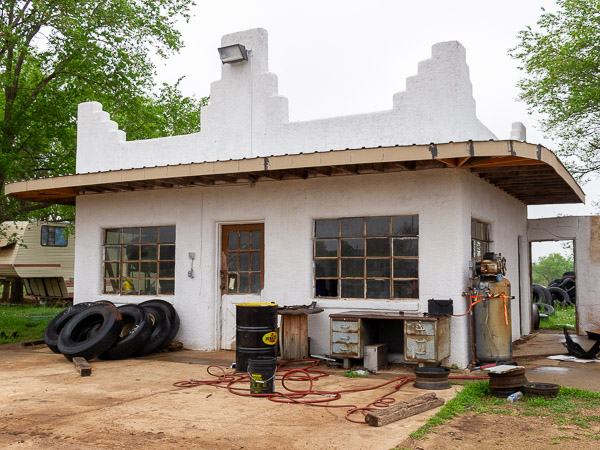
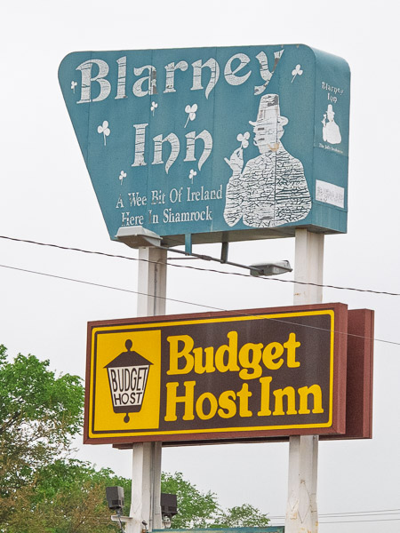
A beautiful morning started today. I headed south to Pacific and started to get out into the winding country roads, only to get turned around. I was following my guidebook and everything seemed to match the road signs. But in relying on the signs alone, I somehow got onto the northbound loop. It wasn’t until I was back in St. Louis that I realized my mistake. That at least gave me the opportunity to travel a different alignment. Once I hit St. Louis again, I got onto the interstate but couldn’t hook up with southbound I-55 and ended up back in Illinois. Anyway that was an extra 100 miles to get back to where I started. On returning, I skipped the area from Pacific and headed for St Clair to pick up my route.
In St Clair I got lost again. I zigged when I should have zagged and ended up traveling to the east of where I should have been. That added another ~50 miles of extra driving today. It was rather frustrating, but I finally got back on track.
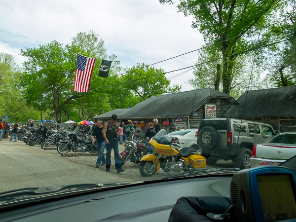
Today’s highlight was the Devil’s Elbow area — not that I got to stop and look. It was a little turnout from the main road, but a motorcycle rally was being held at the inn and there were too many people and bikes around to pull over.
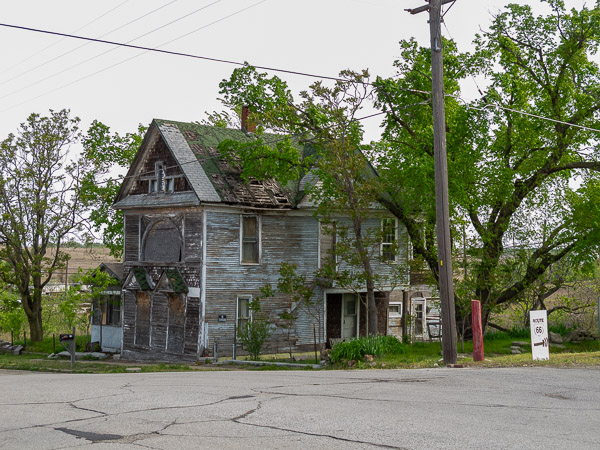
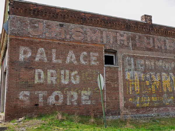
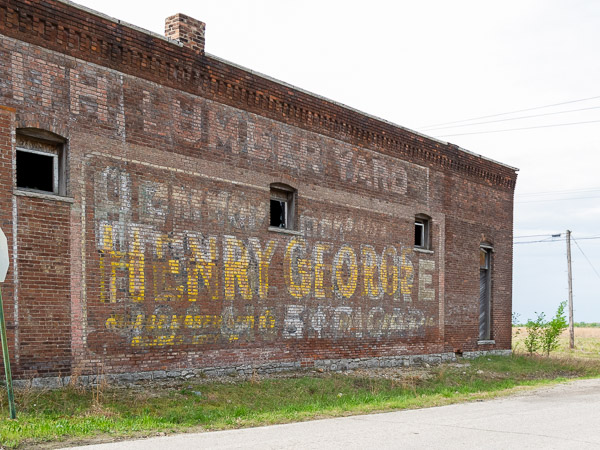
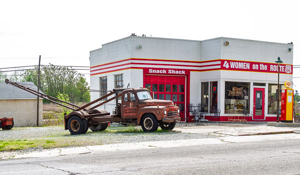
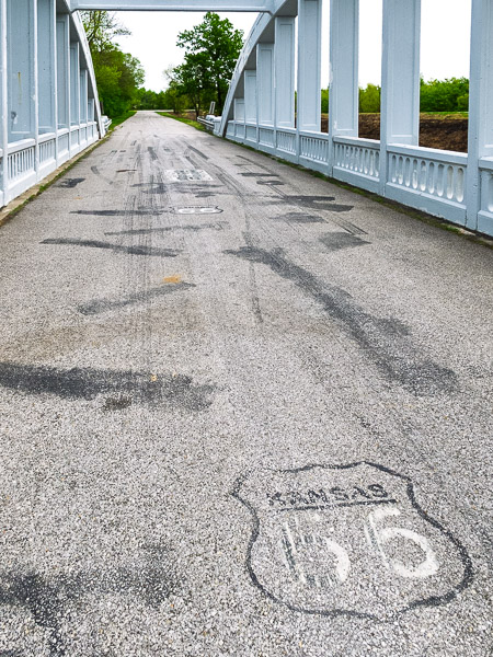
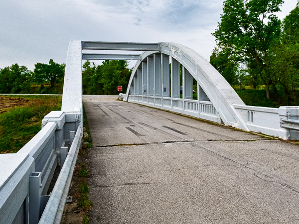
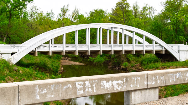
Kansas Route 66
Galena, KS

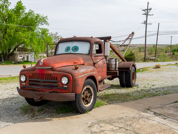
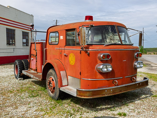
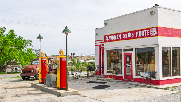
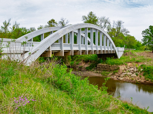
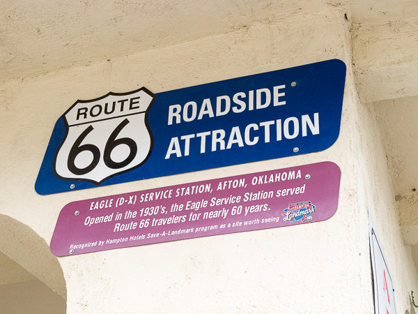
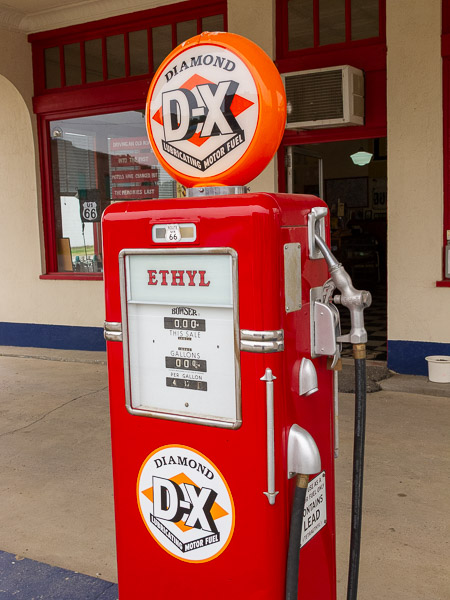
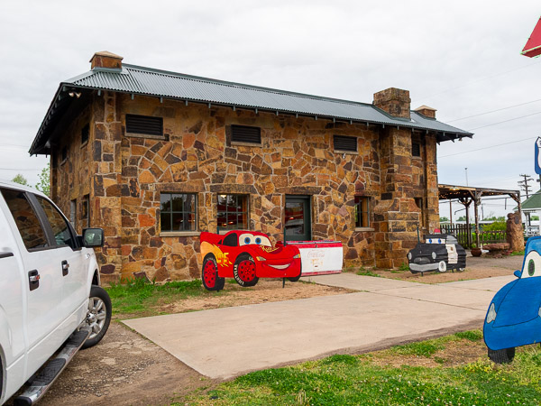
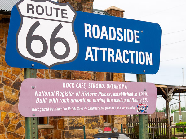
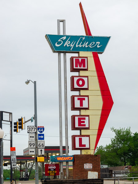
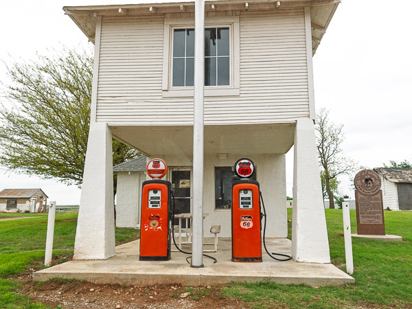
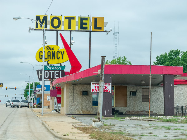
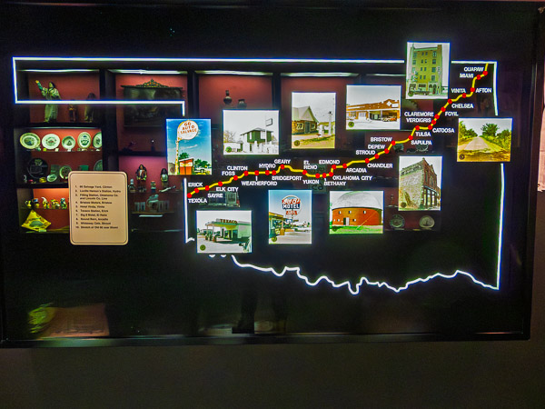
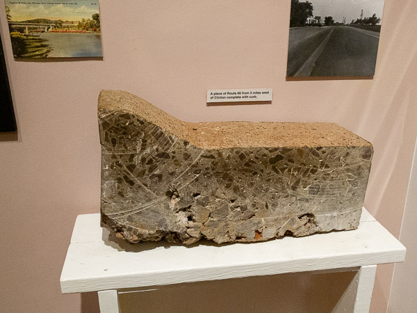
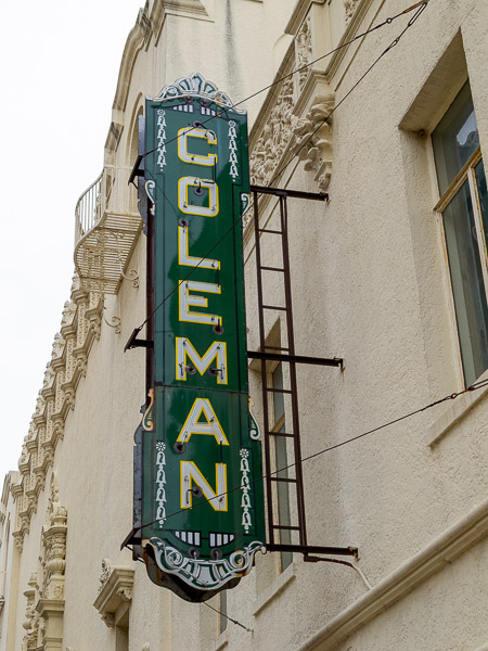
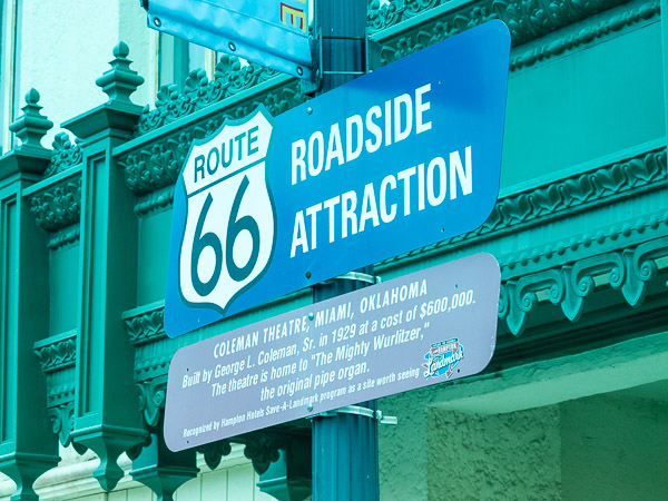
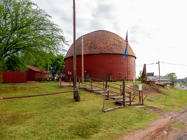
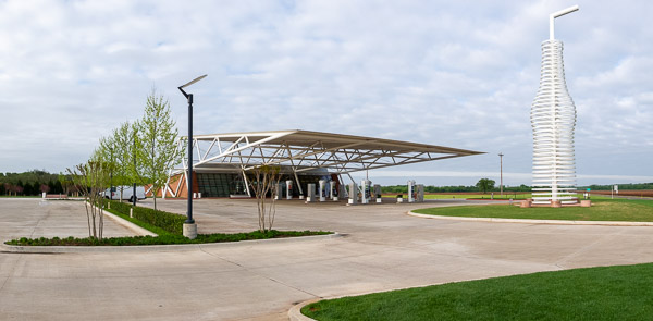
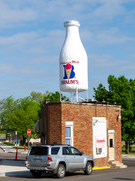
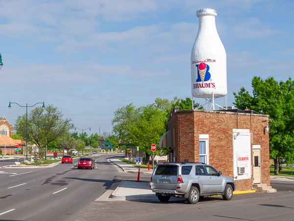
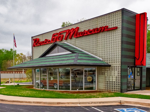
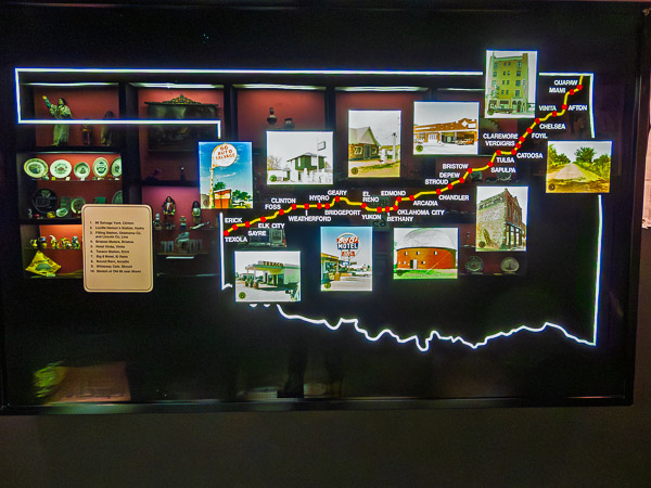
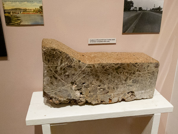
The day started off with broken clouds that continued through most of the day but never fully cleared. I visited two Route 66 museums in Oklahoma. The Clinton museum covers the history of the road, while the museum in Elk City captures more of its culture and spirit. Both are well worth the visit.
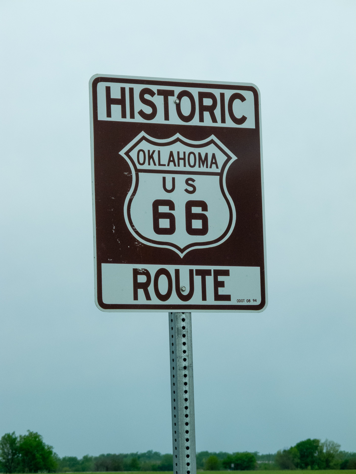
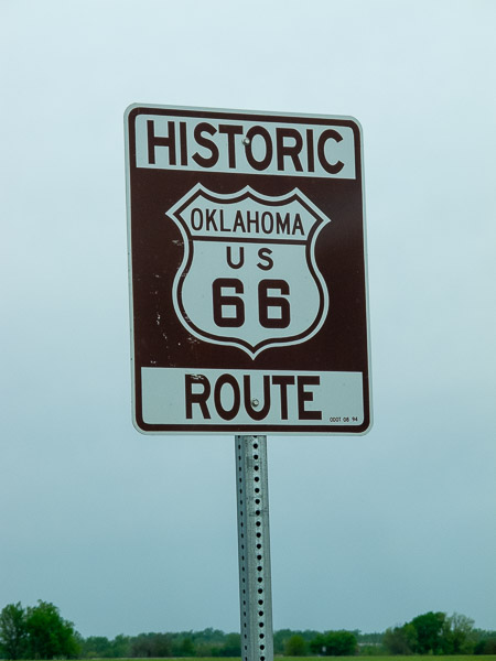
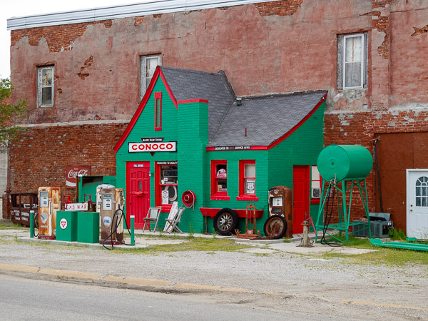
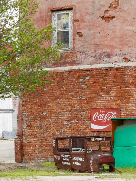
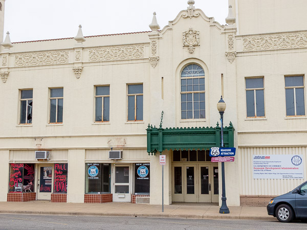
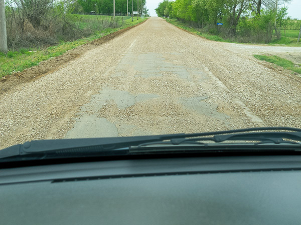
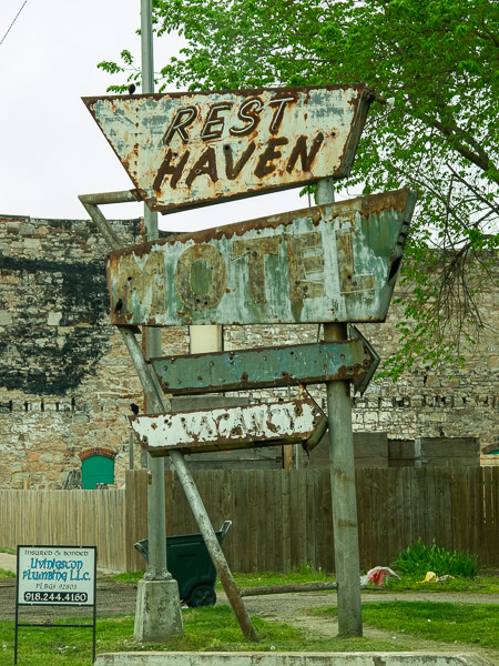
Oklahoma Route 66
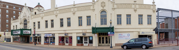
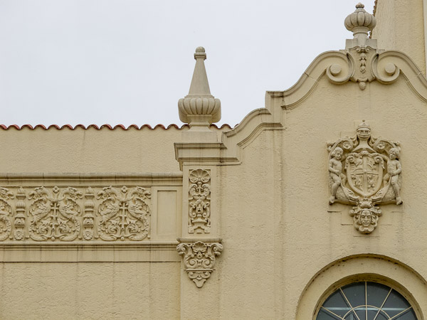
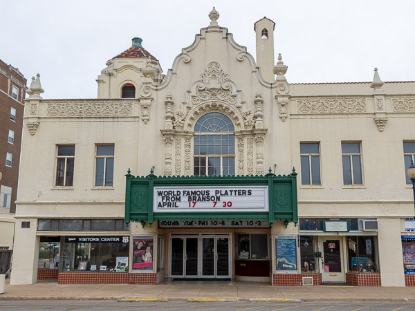
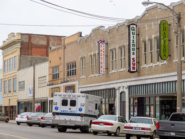
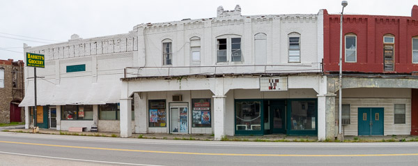
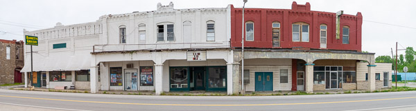
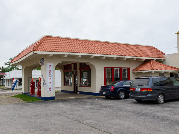
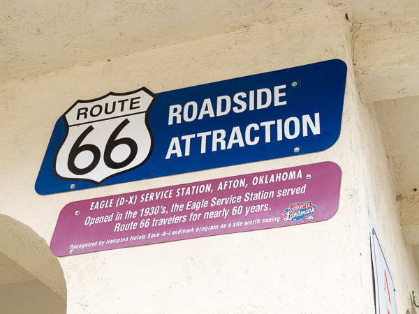
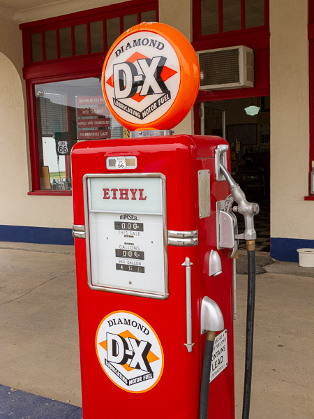
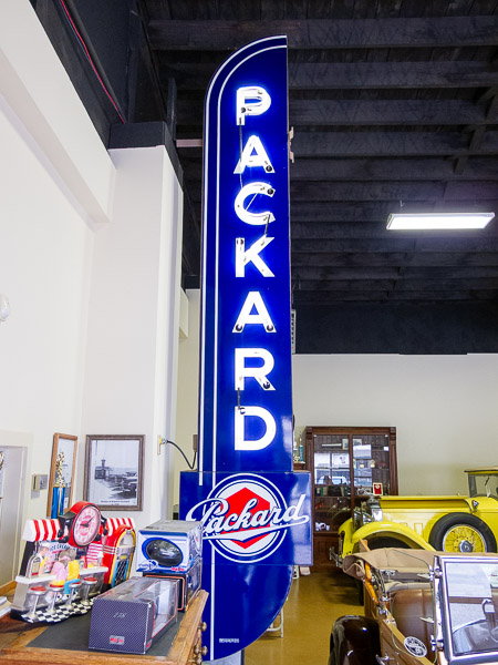
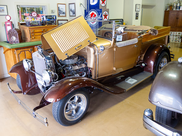
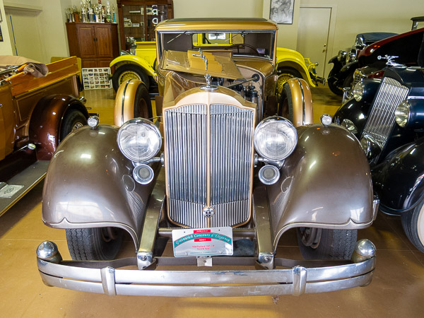
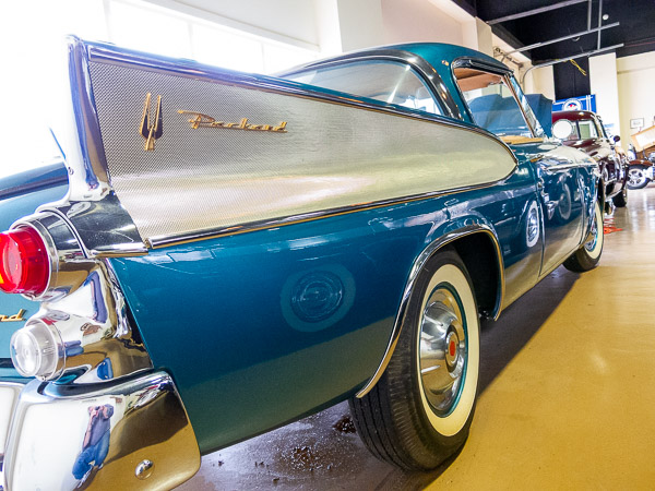
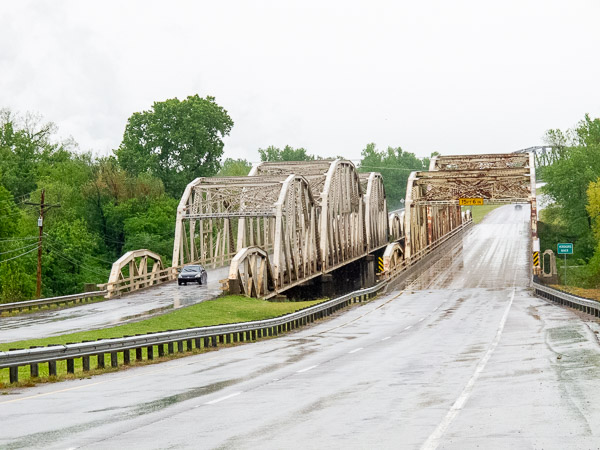
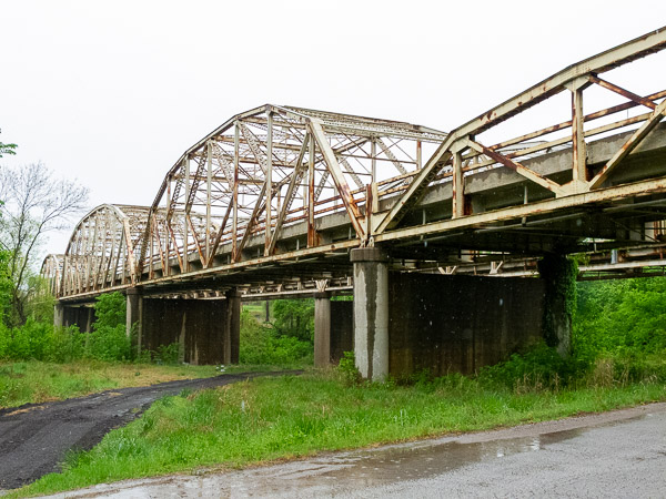
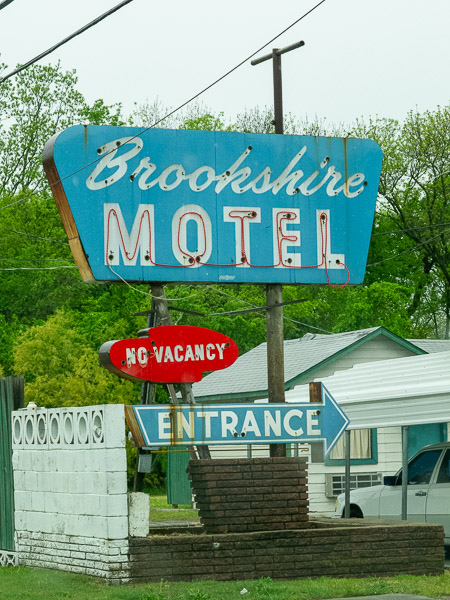
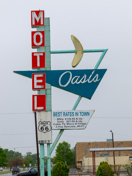
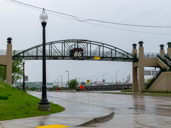
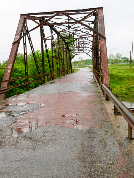
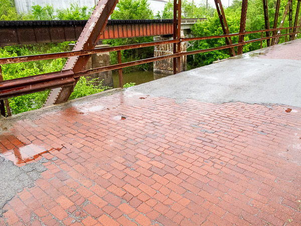
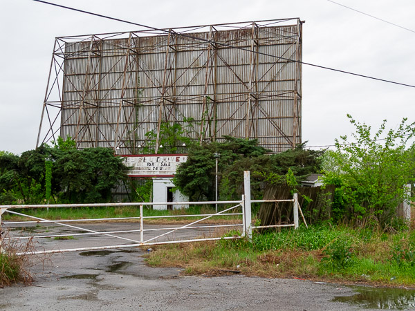
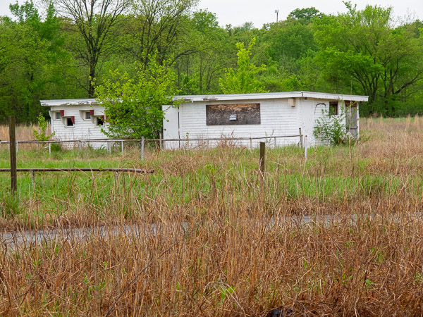
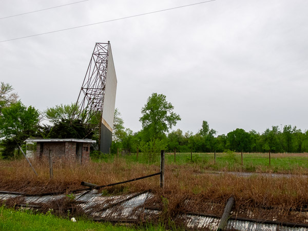
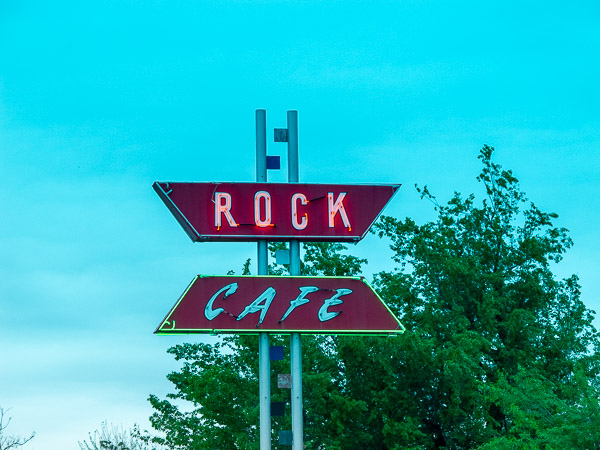
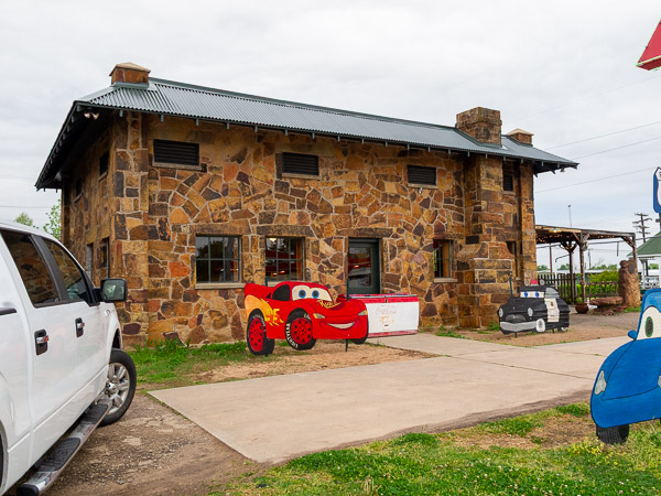
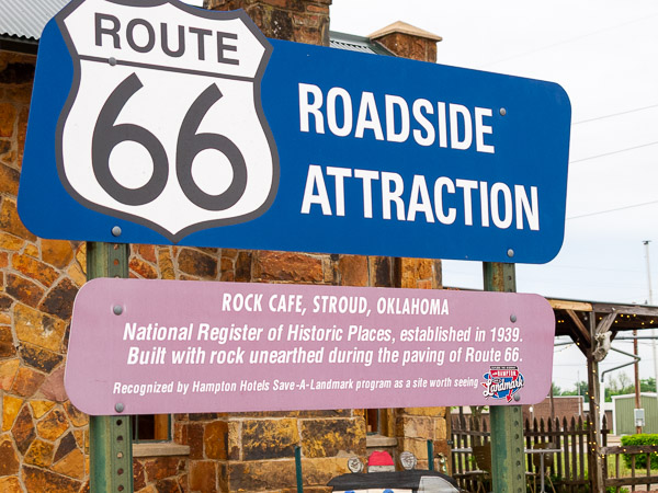
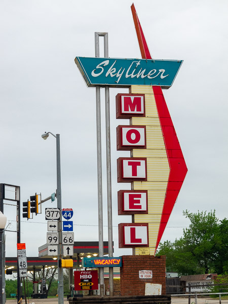
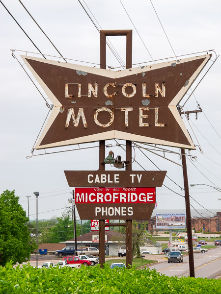
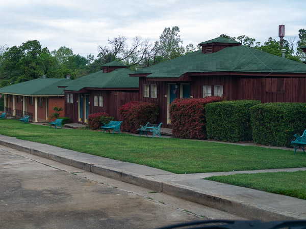
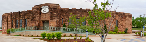
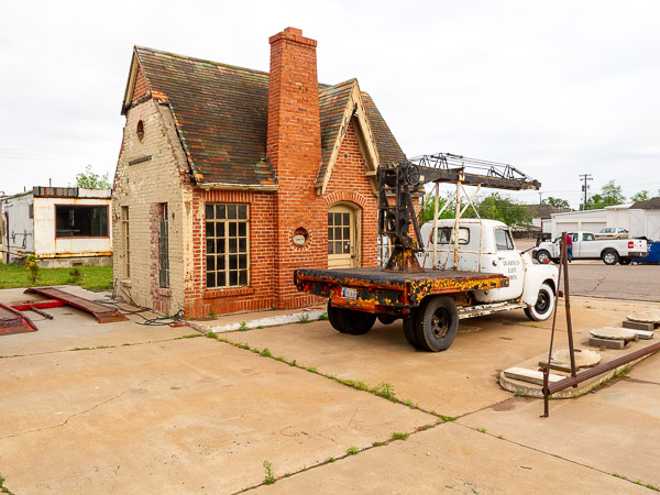
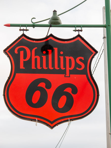

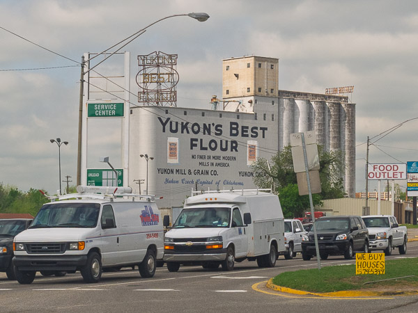
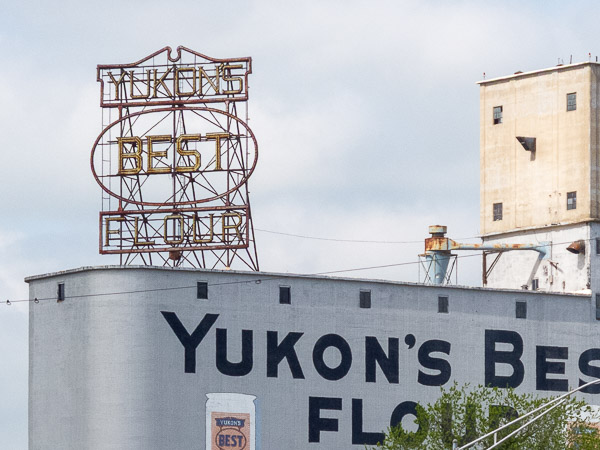
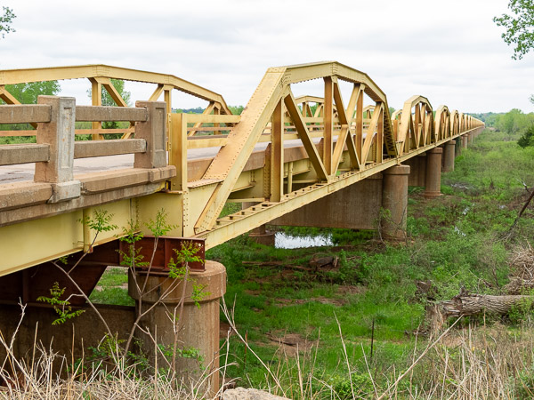
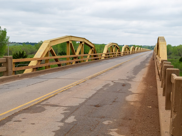
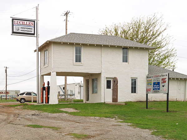
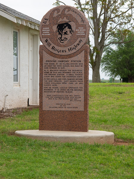
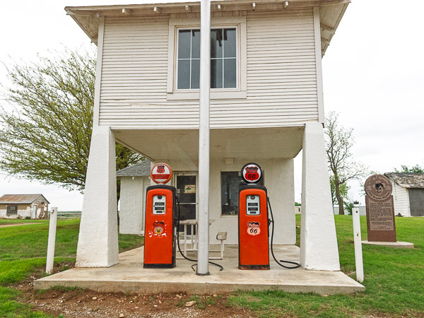
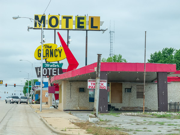
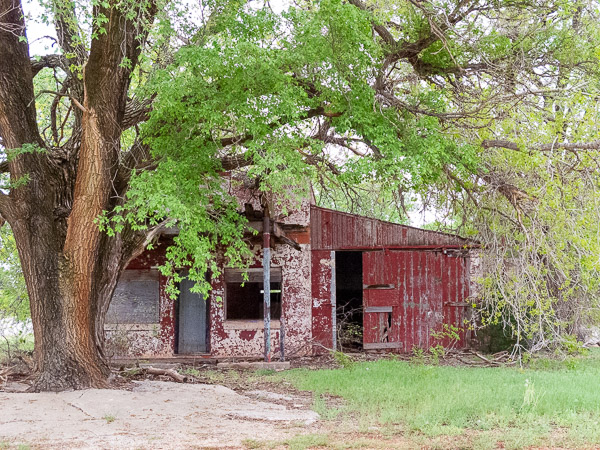
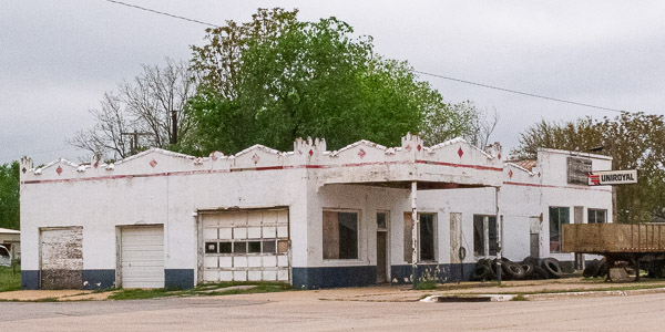
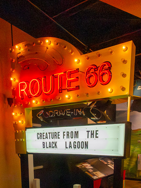
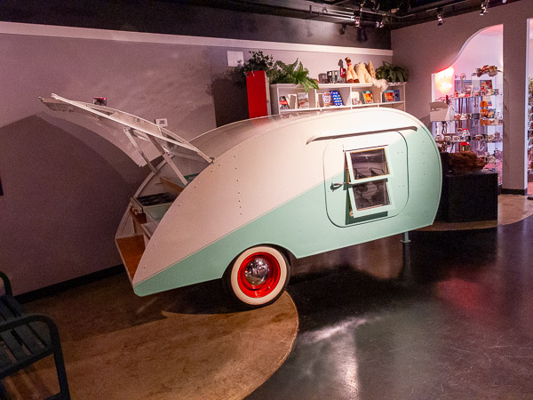
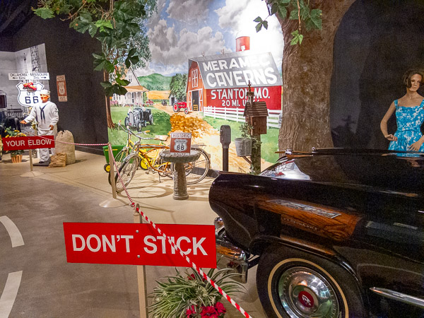
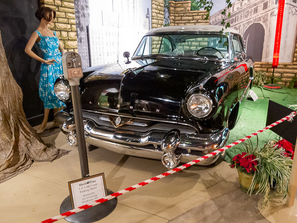
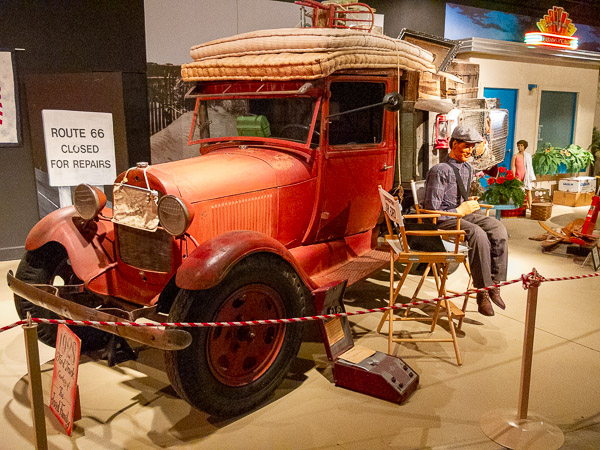
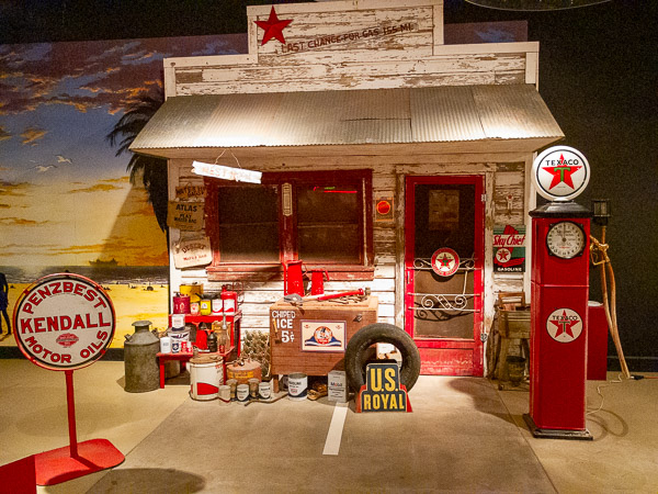
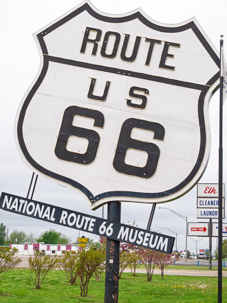
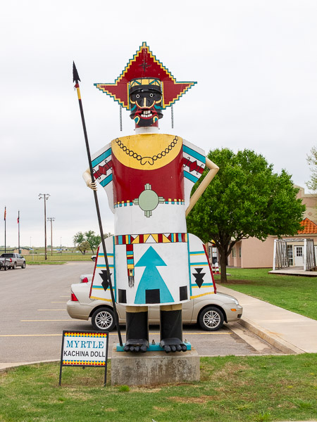
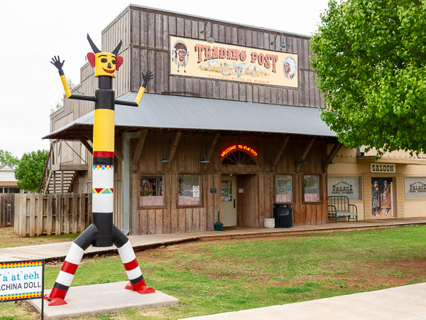
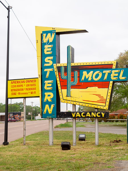
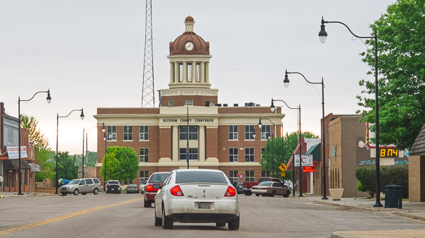
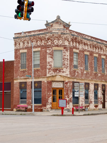
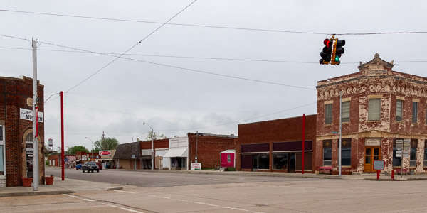
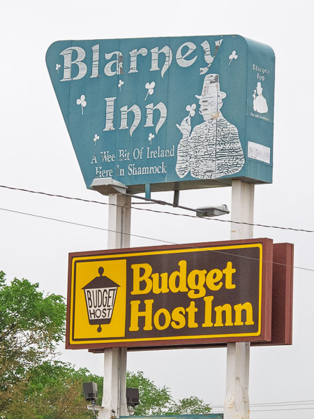
Yet another overcast day. Several iconic sites were on today's schedule, including the Shamrock service station, Cadillac Ranch, a leaning water tank, and some great old service stations. I was hoping to stop in Tucumcari at the Blue Swallow Motel, but stopping there would have ended my day too early, so I pushed on to Santa Rosa.
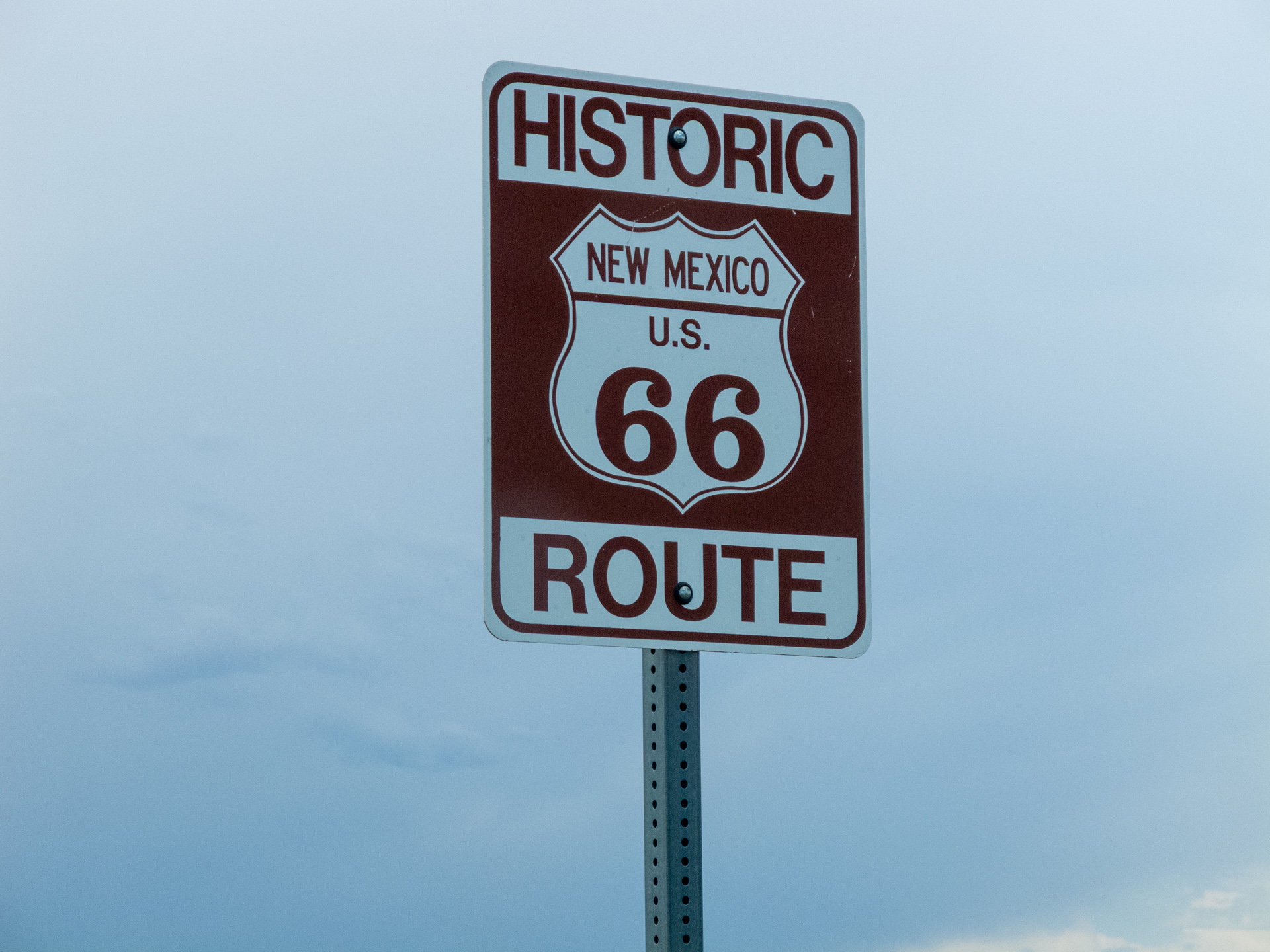
New Mexico Route 66
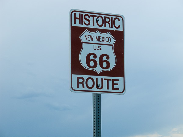

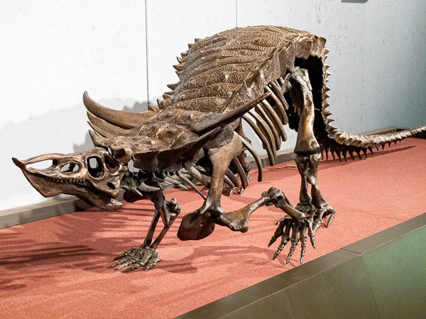
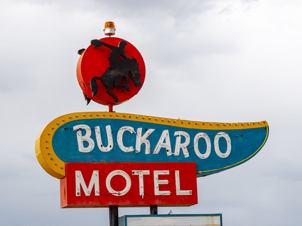
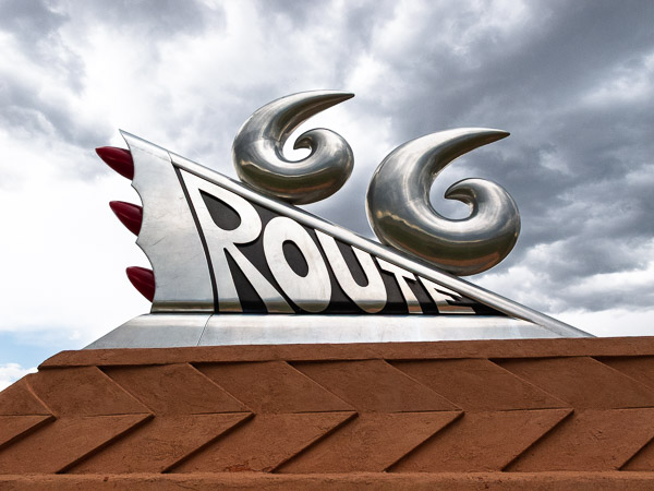
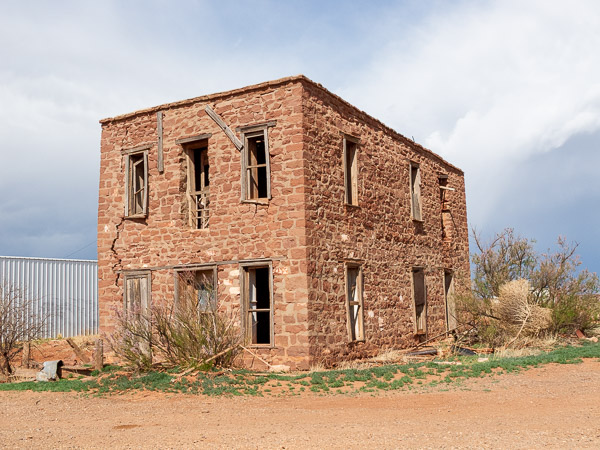
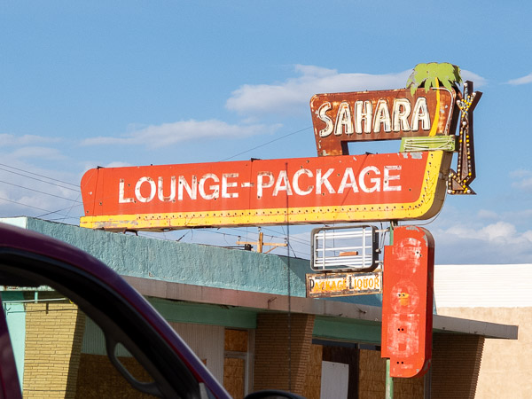
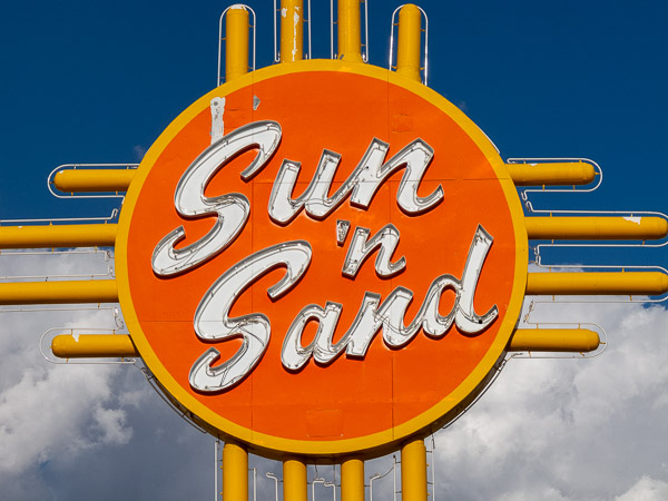
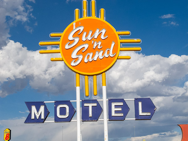
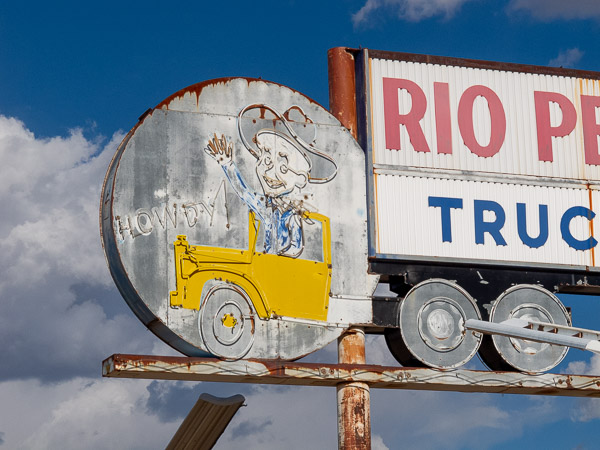
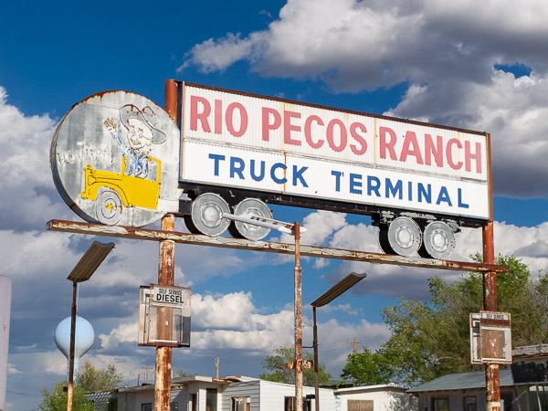
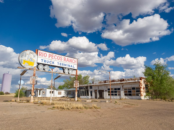
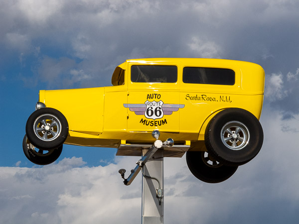
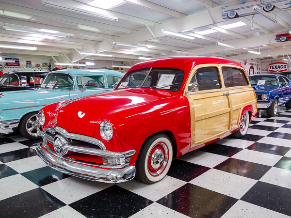
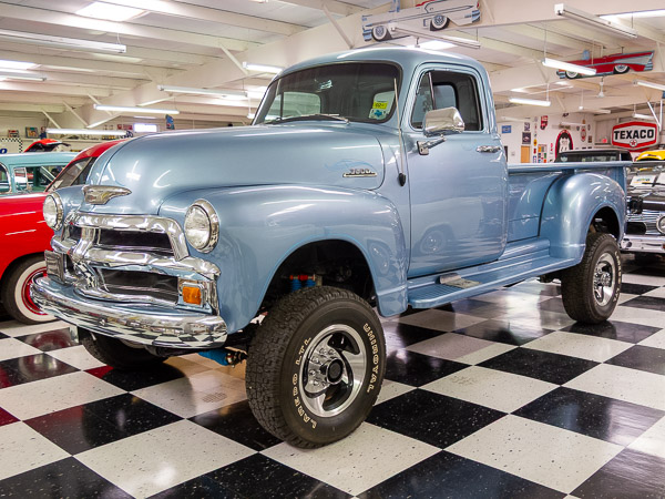
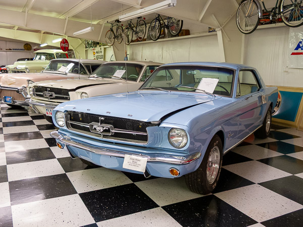
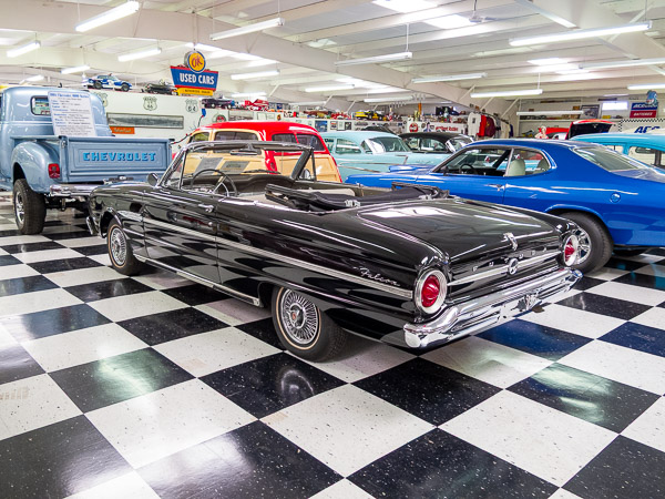
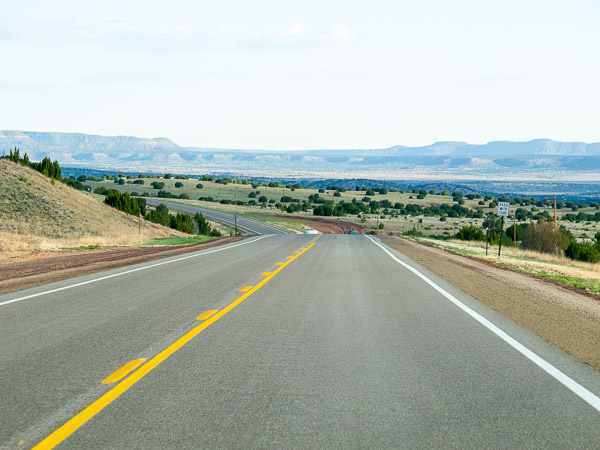
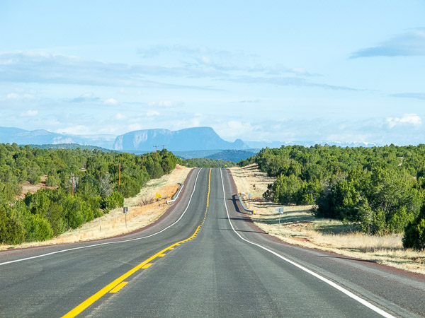
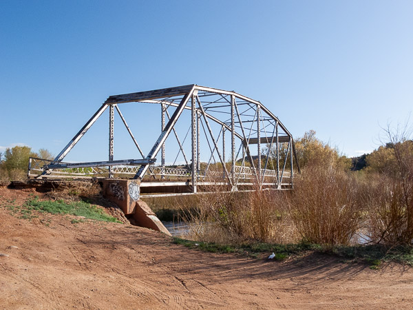
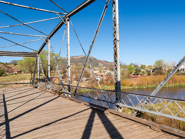
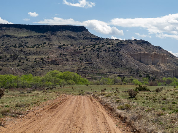
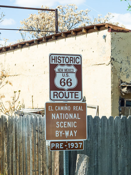

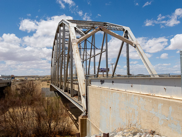
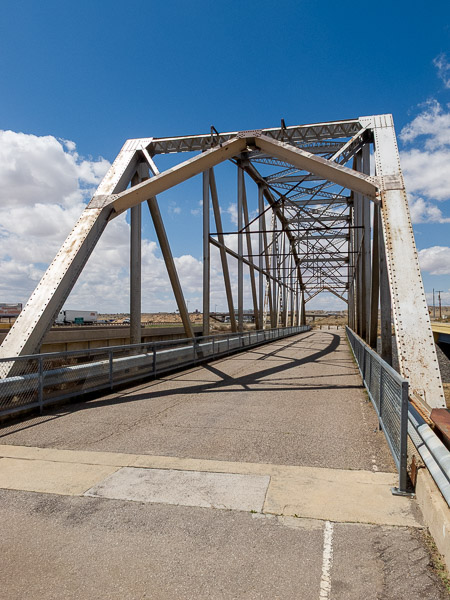
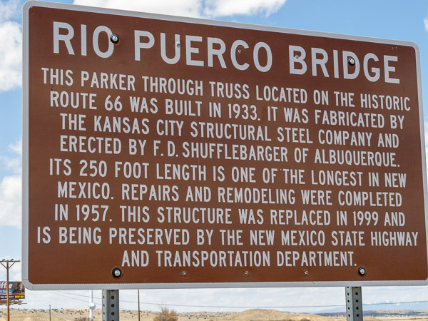
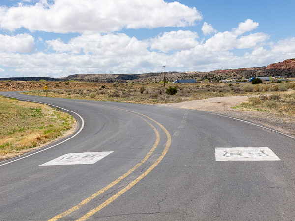
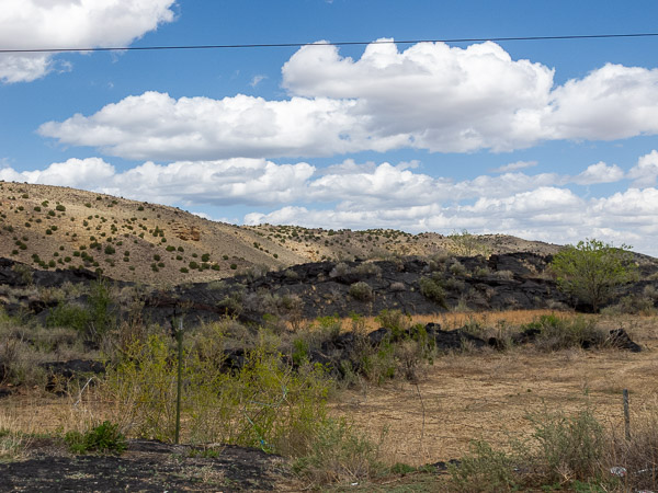
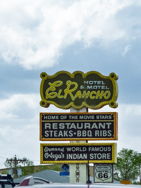
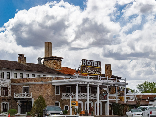
I've driven I-40 through Albuquerque before, so I decided to take the original alignment to Santa Fe and then down to Albuquerque. I love this area and looked forward to seeing some new parts of New Mexico and especially in getting up into the mountains. The drive up to Santa Fe was great. I wanted to go check out the original alignment out of Santa Fe and off the plateau, but this requires a 4-wheel drive high clearance car. Instead I bypassed this area and joined up with it at the base. This allowed me to view from below the narrow switch back filled route. I back tracked out of there and went on to Albuquerque and out through the downtown area.
I had very nice blue skies or skies with fluffy clouds throughout the day. This is great weather for photography. There is a great segment through Mesita that took me on a very winding route that skirted the rock formations, including Owl Rock and spots like Dead Man's Curve — a 90-degree right turn followed by a quick 180-degree left turn around a formation. This would not have been fun in the dark.
As the day progressed it got windy. As I got to Arizona I was driving rough, winding roads that were very narrow with tight turns that followed the topography like a roller coaster, complete with sharp turns and flooded sections. What surprised me was that a school bus passed me in this section — there was not much room for two passenger cars to pass on this road, let alone oversized vehicles like a bus.
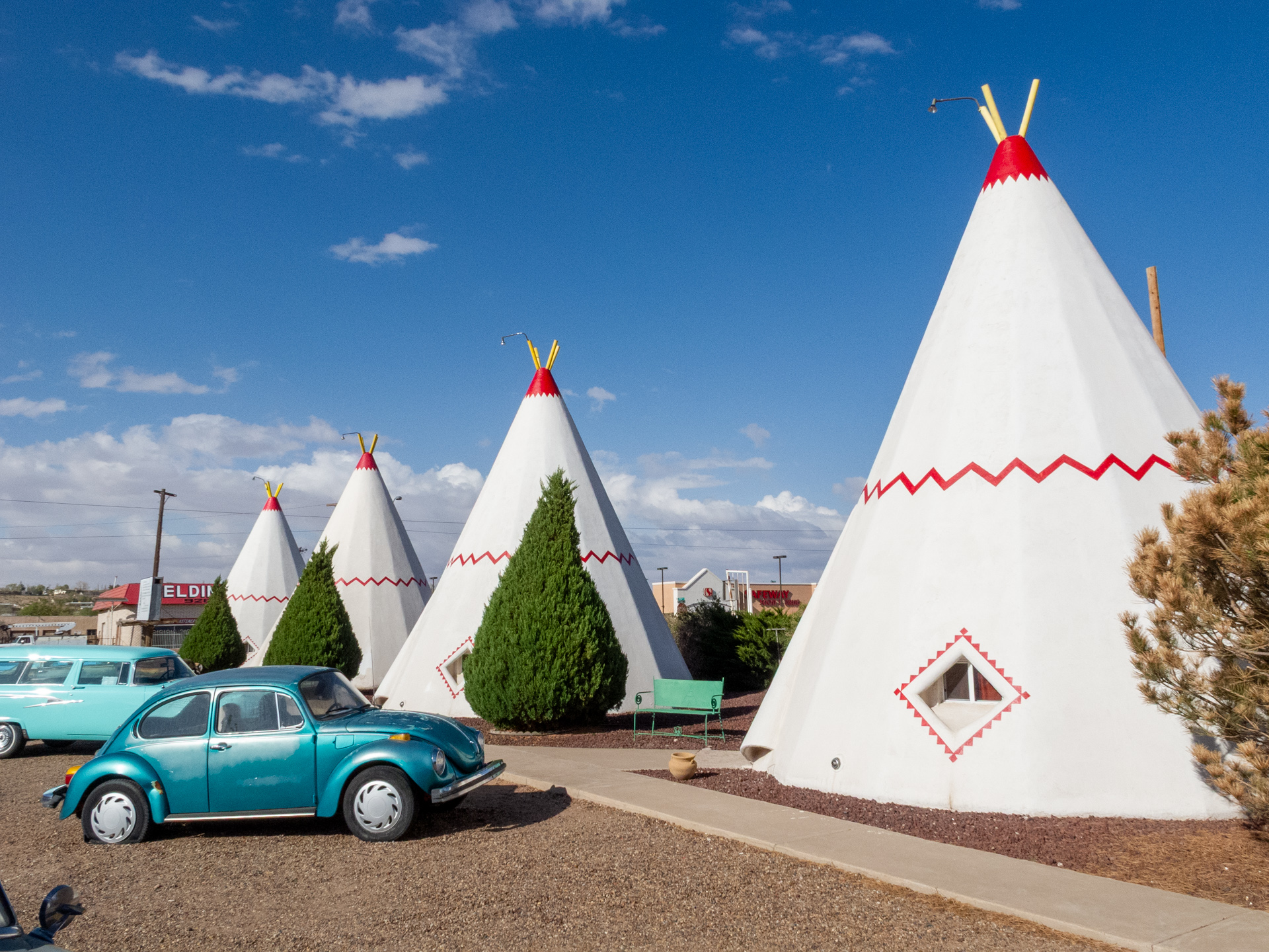
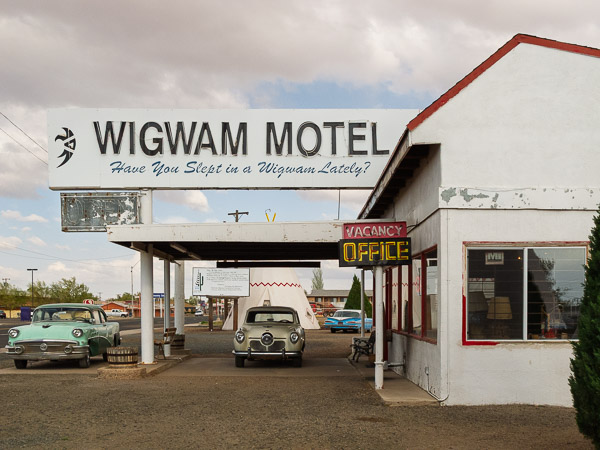
I was planning on stopping in Holbrook and staying in a Wigwam motel room. I still had day light left and should have gone on to Winslow, but mother nature was not co-operating. The highway was closed due to blowing sand.
My stay in the Wigwam was a little more primitive than I expected. Don't even ask about Internet access, there wasn't even a phone in the room.
Arizona Route 66
Wigwam Motel, Holbrook, AZ

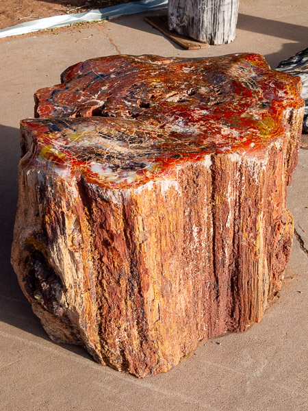
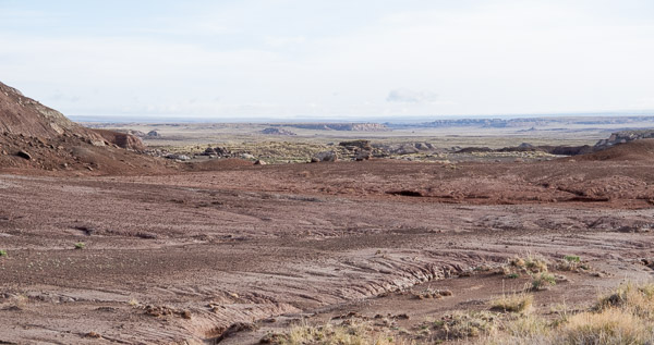
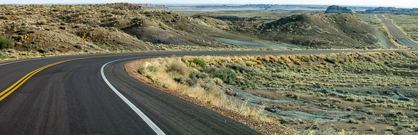
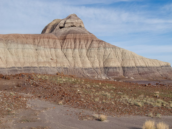
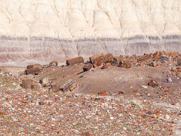
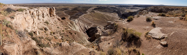
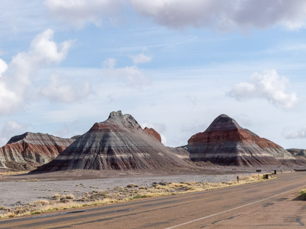
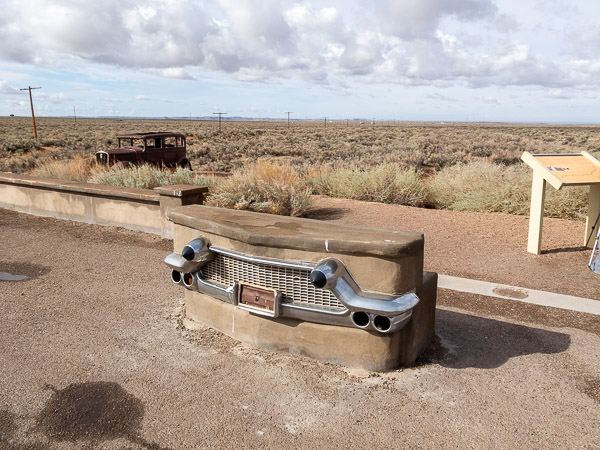
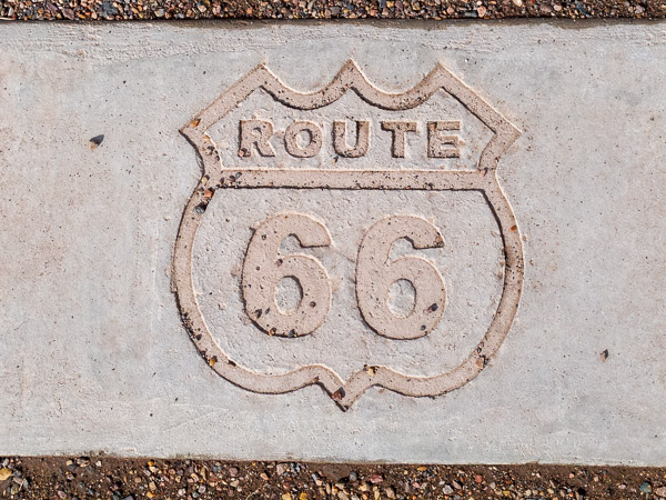
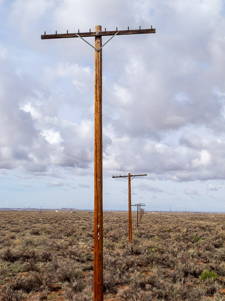
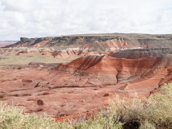
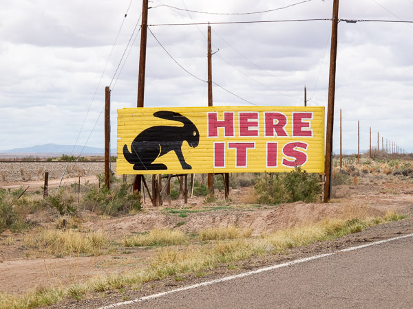
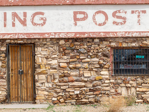
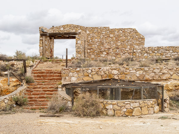
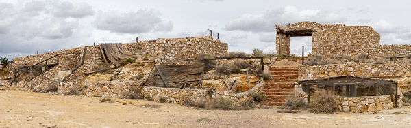
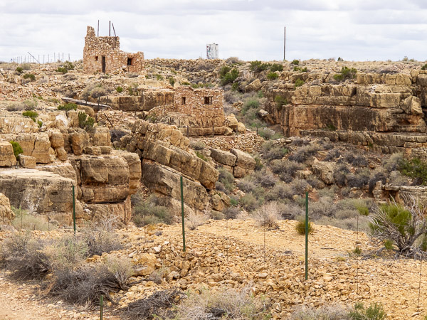
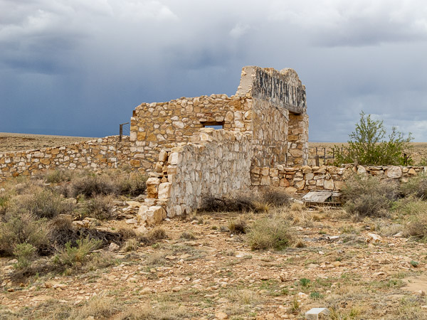
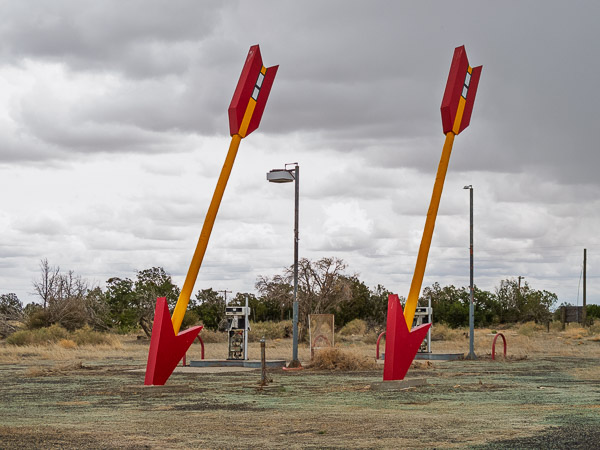
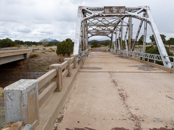
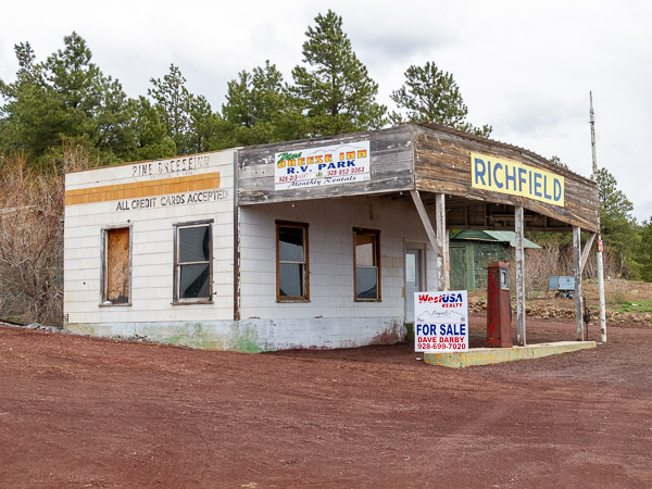
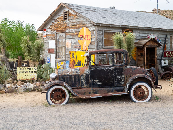
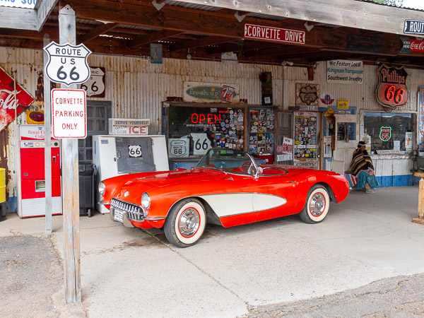
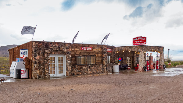
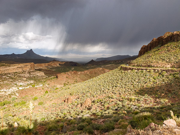
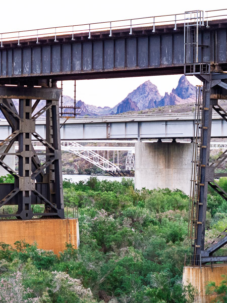
First stop today is the Petrified forest. I have to head east and south out of Holbrook to get to the southern entrance. I was earlier than I thought as I had crossed a time zone. I had a wait of about 30 minutes and then was one of the first couple of people to enter the park. Route 66 used to cut across what is now the National Park.
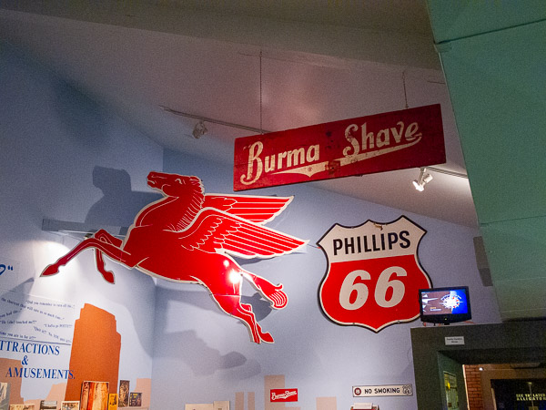
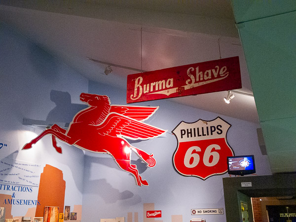
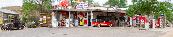
I was surprised that much of the trip through Arizona and New Mexico were on the Interstate. I could get off and make short loops or visit a site, but it wasn't as connected as areas through Illinois and Missouri. The trip from Williams to Kingman would have me travel a great continuous segment that even had Burma Shave signs along some portions.
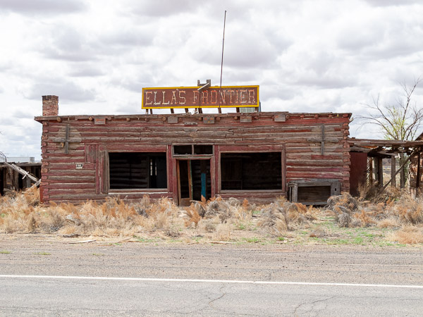
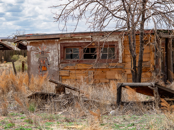
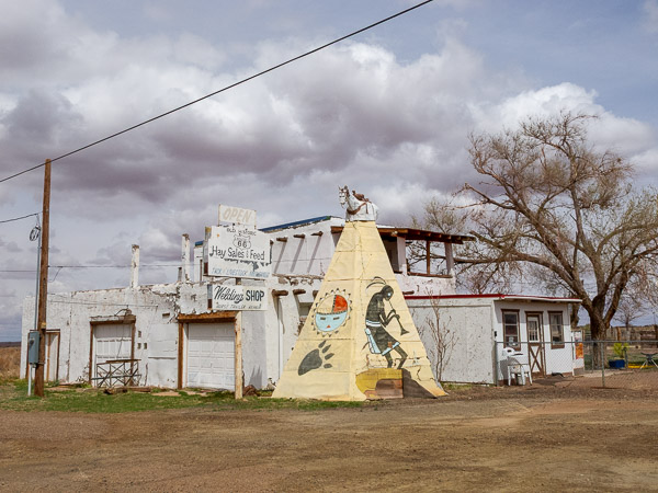
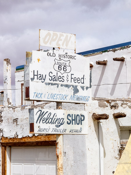
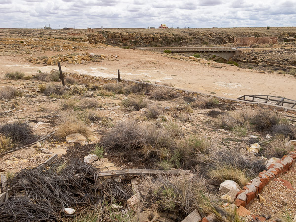
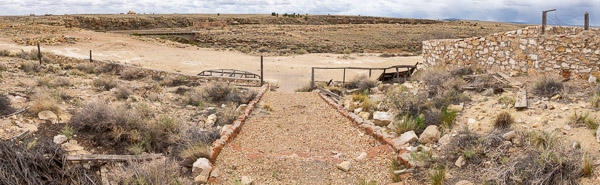
Winslow was a bit of a detour as the downtown roads were torn up and blocked off, so I didn't try to get out there. I pushed on down the road and found a great ghost town at Two Guns. This is just off I-40 and has a large collection of ruins for buildings and a bridge that crosses the river that splits this tourist attraction in half.
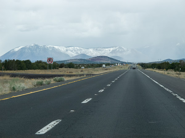
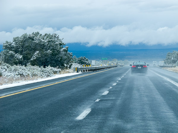
While in Two guns the weather started to change and it was getting overcast. Looking towards Flagstaff looked even worse. As it turned out, getting to Flagstaff just brought a little rain. Coming down the western side though was a different story. I got some sleet at the top but then started running into snow flurries that might last for 10 miles then clear up for 10. I had this condition all the way through to Peach Spring and then from there it was more rain.
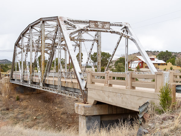
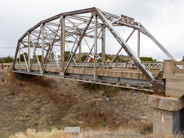
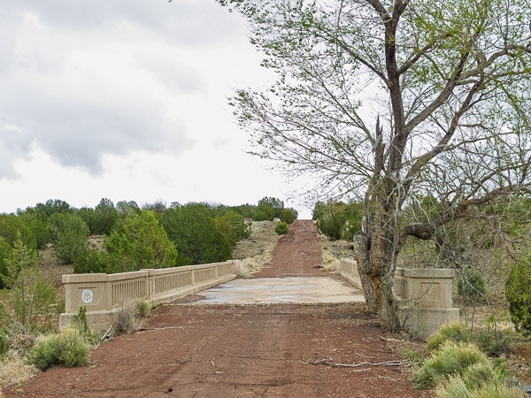
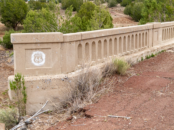
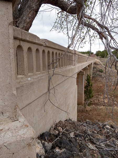
I took a side drive to hook up with the original alignment in Ash Fork and to go look at the Partridge Creek bridge with its tree growing out of the pavement. This turned out to be some of the roughest road that I traveled with large potholes that covered large sections of the road. Check out the movie to see how rough this road was.
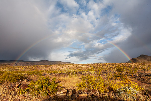
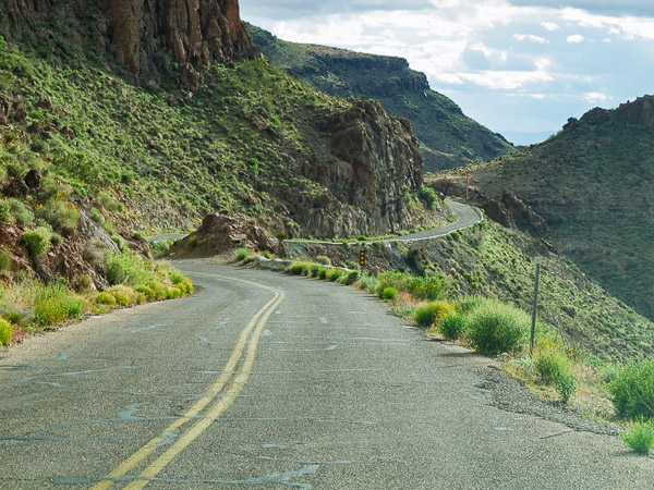
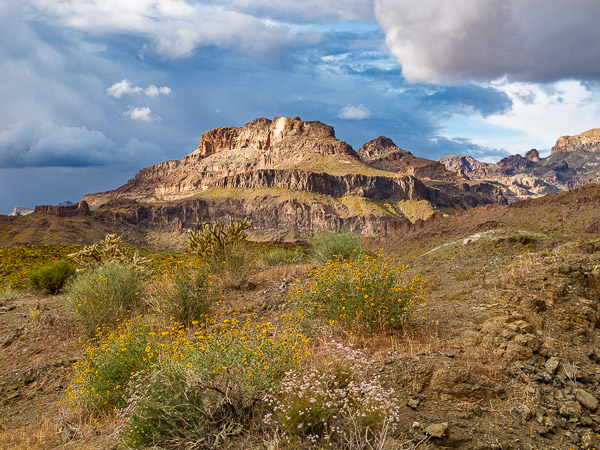
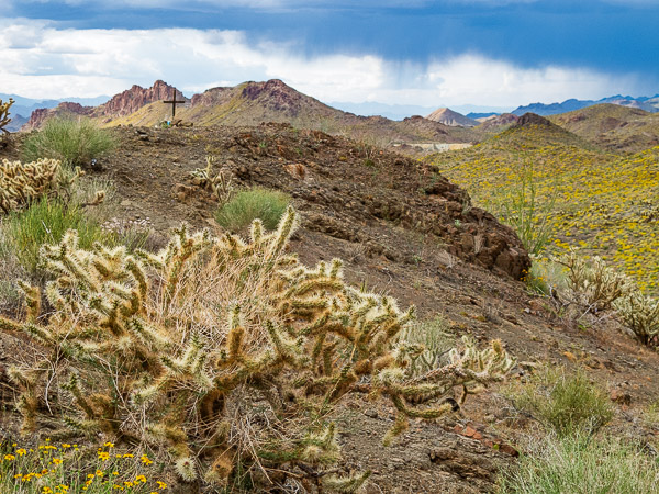
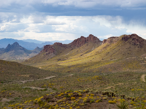
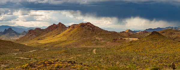
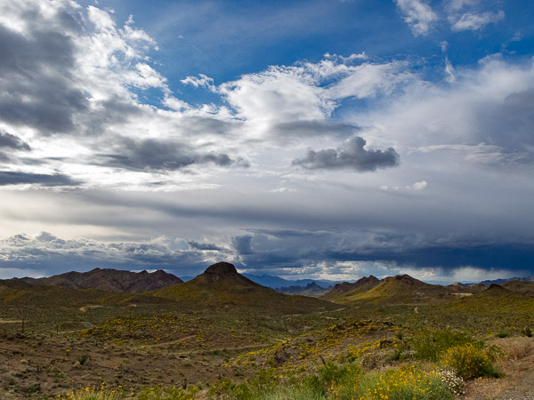
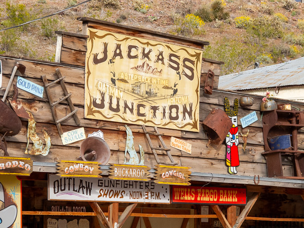
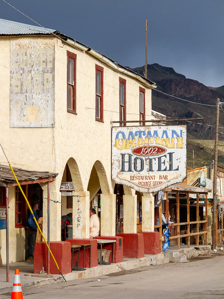
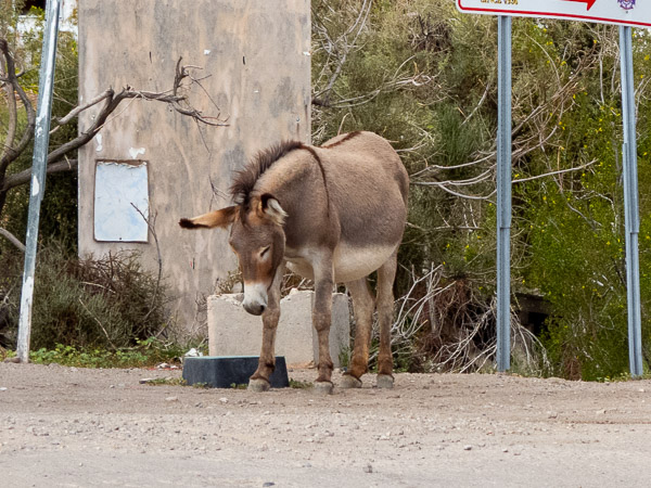
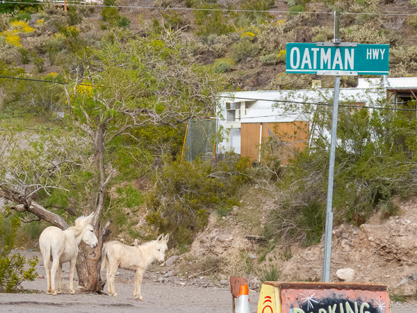
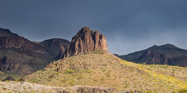
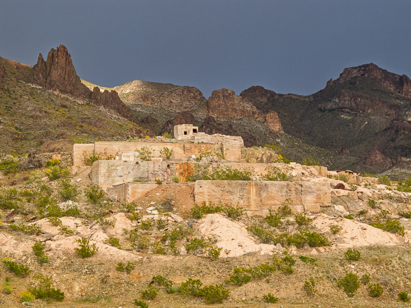
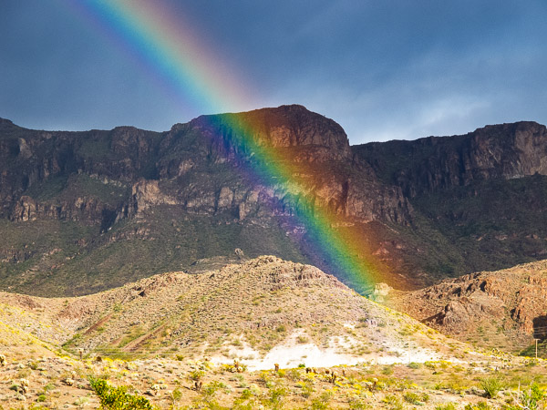
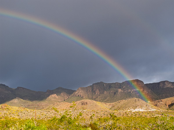
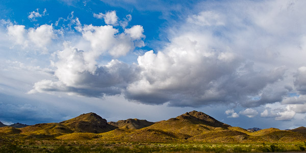
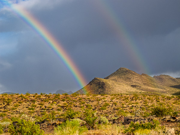
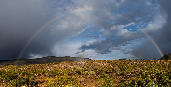
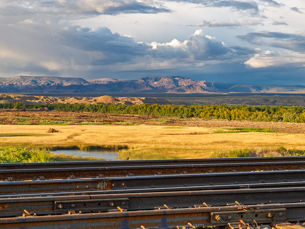
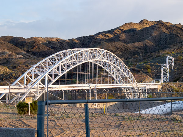
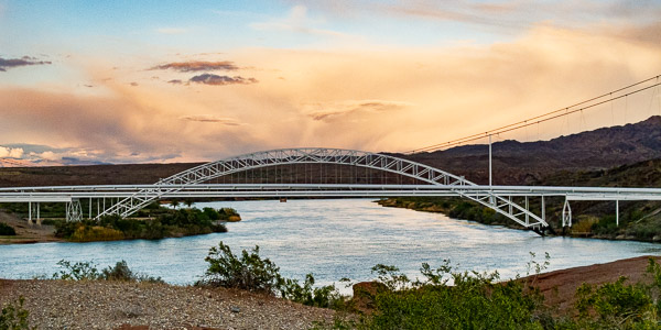
The highlight of this entire trip was from Kingman over to Needles. The late afternoon light with broken storm clouds created some great lighting for the end of the day. In Oatman I was treated to about 20 minutes where a rainbow stayed. By driving down the road I got different vantage points and the occasional double rainbow. Usually rainbows disappear so fast you hardly have time to get creative.
While driving through Oatman I was seeing a lot of motorcycles on the road. I didn't really think anything of it until I arrived in Needles. That was when I found the special event pricing for the weekend that was caused by the Laughlin Run when motorcyclists from all over descend on this part of Arizona, Nevada and California.
I'm back in CA and it is a gorgeous day. The goal today is to complete the route and get home to San Diego. I start work on Monday at a new job and I need to settle in a little before kicking that off.
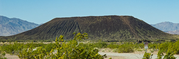
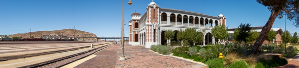
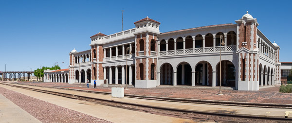
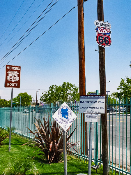
Long stretches of Rte 66 are available in California. There aren't a lot of sights to see between Needles and Barstow but there are several small towns and two volcanic craters. Needles has the remnants of a Harvey House that was once central to the town. Barstow has the showpiece — a beautifully restored Harvey House that is also home to the California Route 66 Museum.
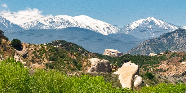
Starting at Barstow the pace picks up as you get into the metropolitan area of San Bernardino and Los Angeles. Crossing the Cajon Pass is the gateway to this area, and from here you get a great view of the San Bernardino Mountains. On this trip they still had a good layer of snow.
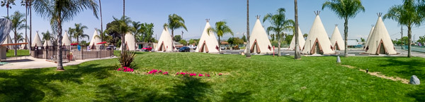
I stopped in at the Wigwam Motel in Rialto to compare it to the one I slept in Arizona. I didn't realize that there were only three of these motels left from the original chain, and the other one is located in Cave City, Kentucky — near Louisville! This location has been vastly improved. The manager came out and gave me a quick tour and showed me one of the rooms. It has Internet, telephones, and air conditioning, with rooms slightly larger than those in Holbrook. In addition to those improvements, there is grass and a swimming pool to make it a genuinely enjoyable place to stay.
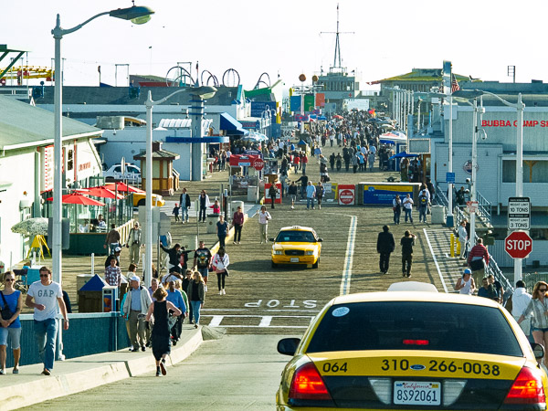
I arrived in Rialto about 12:30; I didn't pull into Santa Monica until about 4:30. It was a long and slow drive. With all the traffic it was very hard to find some of the sights and enjoy this portion of the road. After driving a portion of Ocean Blvd, the end of Route 66, I stopped in at the Santa Monica Pier and then headed for San Diego. On arriving in San Diego, I stopped in at my favorite restaurant, Roberto's, and had a carne asada burrito and some rolled tacos with guacamole.
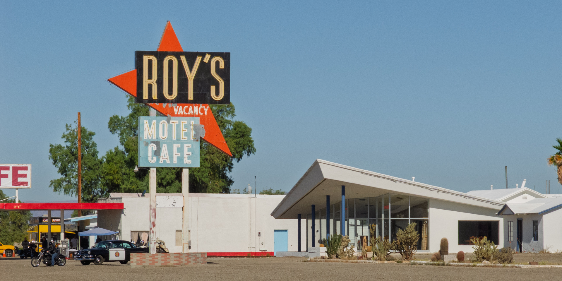
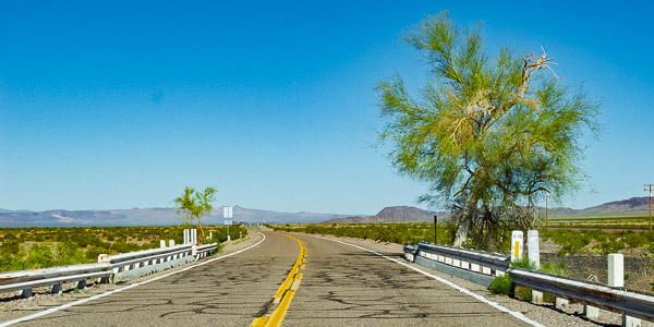
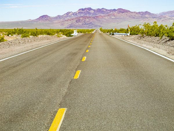
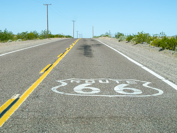
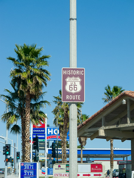
California Route 66
Roy's Cafe in Amboy, CA