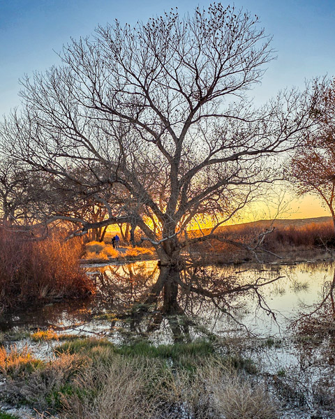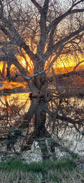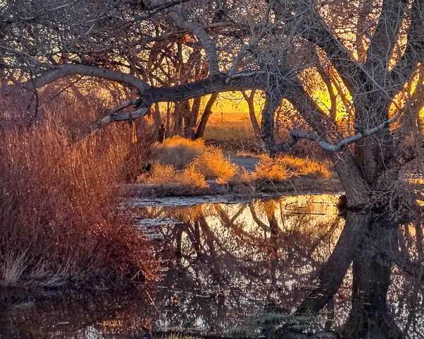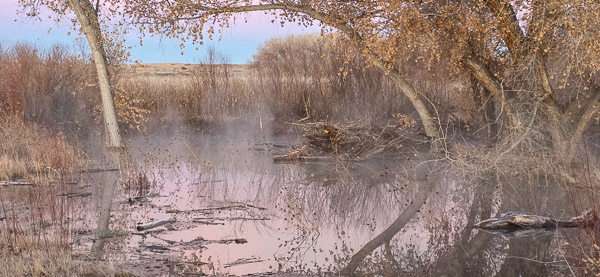
Bosque del Apache, New Mexico - January 18, 2026
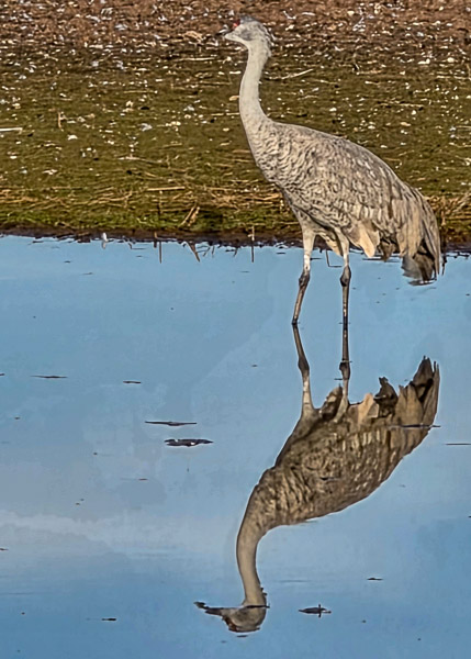
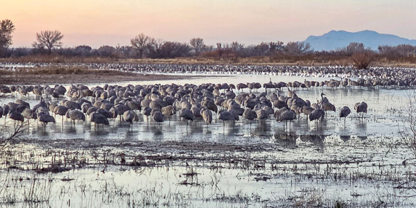
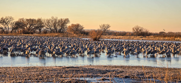
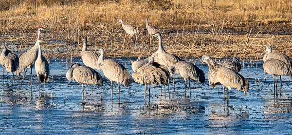
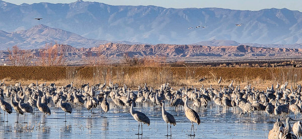
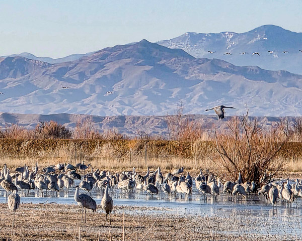
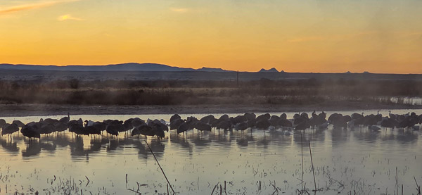
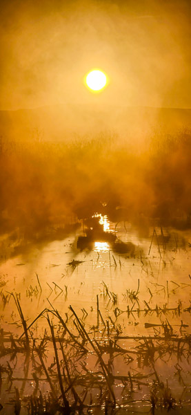
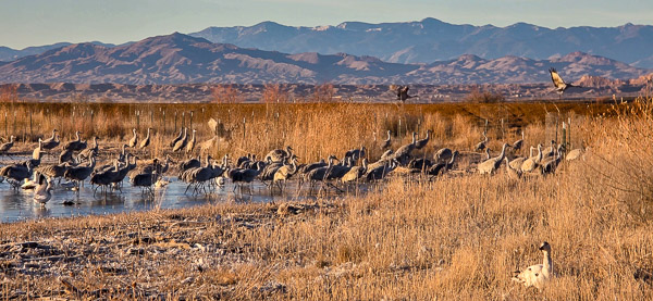
Another trip to New Mexico! This time I was headed to Socorro for something a little different. Winter is when the sandhill cranes arrive, and I'd been here a couple of times before — the last visit was probably ten years ago. I used to photograph birds like this fairly regularly, but it had fallen off my radar for a while. The workshop I attended wasn't strictly a birding shoot; it leaned more toward artistic interpretation — high key, slow shutter speeds, and intentional camera movement.
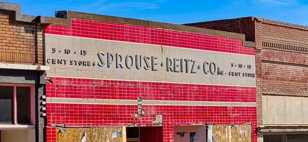
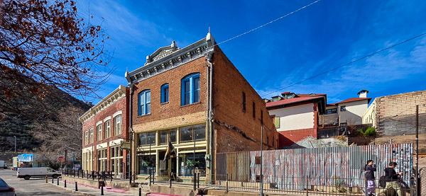
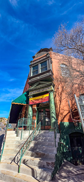
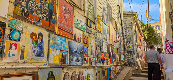
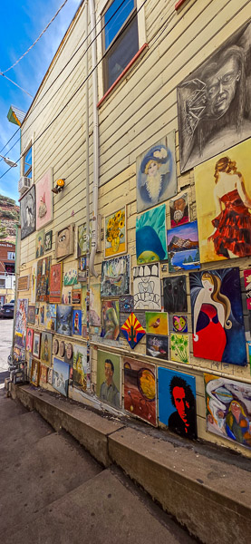
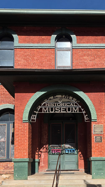
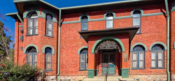
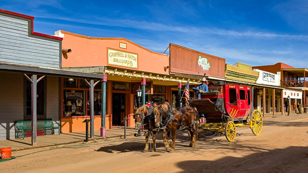
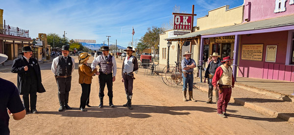
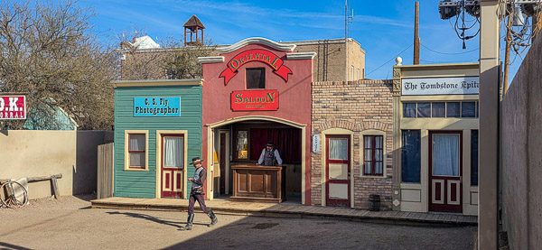
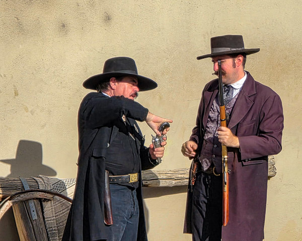
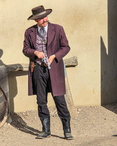
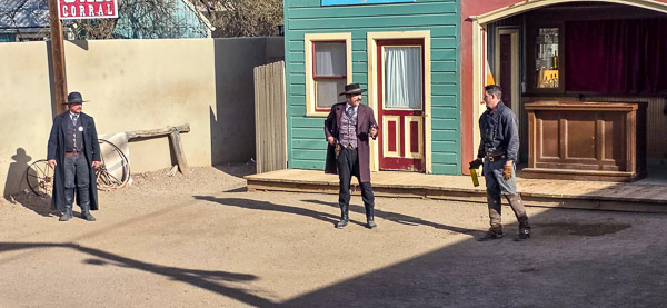
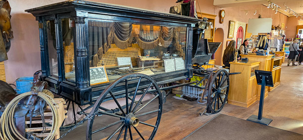
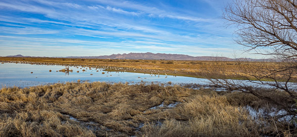
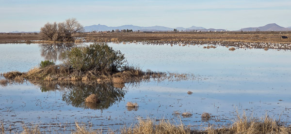
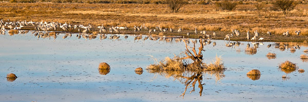
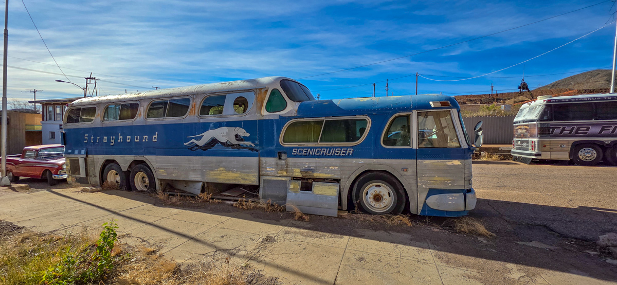
Socorro sits closer to the middle of the state, and since this was a winter trip, I took the southern route via I-8 to I-10. I decided to overnight in Benson to check out a few things I hadn't seen before. Since the workshop started mid-week, I had a couple of nights there. I had plans to visit Tombstone and Bisbee, and then I discovered that sandhill cranes also stop at Whitewater Draw. I ended up making a big loop — starting at Whitewater Draw for sunrise, swinging down to Bisbee, over to Tombstone, and back to Whitewater Draw for sunset.
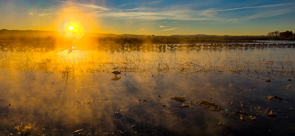
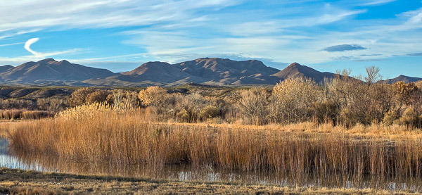
Bosque del Apache National Wildlife Refuge used to be the go-to spot for crane photography. It's a well-designed refuge with varied ponds and backgrounds, but the birds haven't been returning in the numbers they once did. Cornfields used to draw them in, but the groundwater has turned salty and the corn no longer grows as reliably. They're experimenting with new varieties, but in the meantime the cranes have shifted north to the Bernardo Wildlife Area, just above Socorro. The main pond at Bernardo has quite a bit of man-made clutter to work around or edit out, though certain sight lines are better — especially for backlit or high key images.
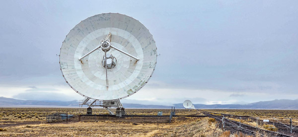
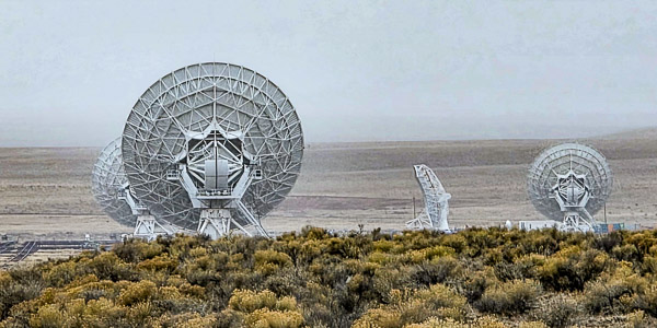
As the workshop wrapped up, a major snowstorm was forecast to roll in overnight. Workshop members flying home scrambled to rebook flights, but I wasn't too concerned since I was heading south. I got up early to find heavy overcast skies. I wanted to stop at the Very Large Array (VLA) radio telescope, which is nearby and roughly on the way home. The drive there was fine, but while I was walking around shooting, light snow flurries started falling. Heading out on Route 60 east of the VLA, I noticed patches of snow in the shaded areas — nothing alarming. From there I took Route 12 south to Route 180, then Route 78, Route 191, and back into Benson. All in all it was a wonderful drive. Somewhere deep into Arizona, I realized I hadn't had a single car in front of or behind me for a good three hours. A few vehicles were heading north, but southbound it was just me and the road. Under those conditions it felt like a real adventure — though with heavy RV traffic it might tell a different story. If you ever get the chance, it's a scenic route that winds through a string of small, charming towns well worth the detour.